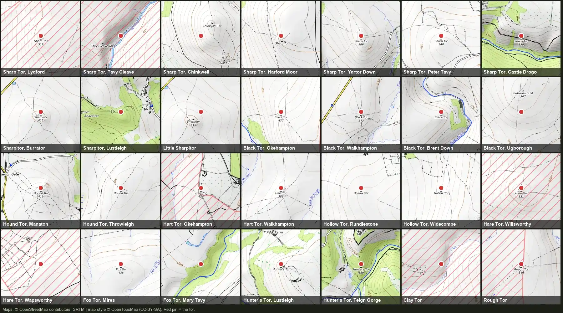
Anybody who has ever spent any amount of time on Dartmoor will have noticed that there are quite a lot of places with the same name and lots with similar ones! There are at least seven tors called Sharp Tor (or variant), four called Black Tor, three Holy Trinity churches and two Black Hills. A name alone sometimes doesn't tell you which one you are looking at.
“What Bloody Sharp Tor do you mean?”
I'd obviously noticed this whilst meandering around the moor, but it was brought home to me when I set out to build this website. Five of our initial listings carried the name Holy Trinity, and they turned out to be three different churches in three different parishes. A basic search for "Sharp Tor" brought up tors all over the damn place. Anyone writing about the moor, reading a guidebook, or walking with a grid reference can easily pick up the wrong one without noticing.
The first time I noticed this was when I was on the Ten Tors (I forget which one - it was a long time ago) and we came across a group of Army Cadets who were looking for the best route to Sharp Tor ... a short confab later and it turned out they were already about 10 miles off course, having set off for totally the wrong one! We diplomatically suggested they report to the closest manned checkpoint and ask for an edited route plan.
The quick guide
- Sharp Tor: 7 tors, plus Sharpitor near Burrator. Tell them apart by parish.
- Black Tor: 4 tors (Okehampton, Walkhampton, South Brent, Ugborough).
- Hound Tor: 2. The Baskervilles one is at Manaton.
- Butterdon Hill: 2 (Harford, Moretonhampstead).
- Holy Trinity: 3 churches (Drewsteignton, Gidleigh, Buckfastleigh).
- Black Hill and White Hill: 2 each.
- Walla Brook: 4 streams (sometimes Wallabrook).
Dartmoor Churches
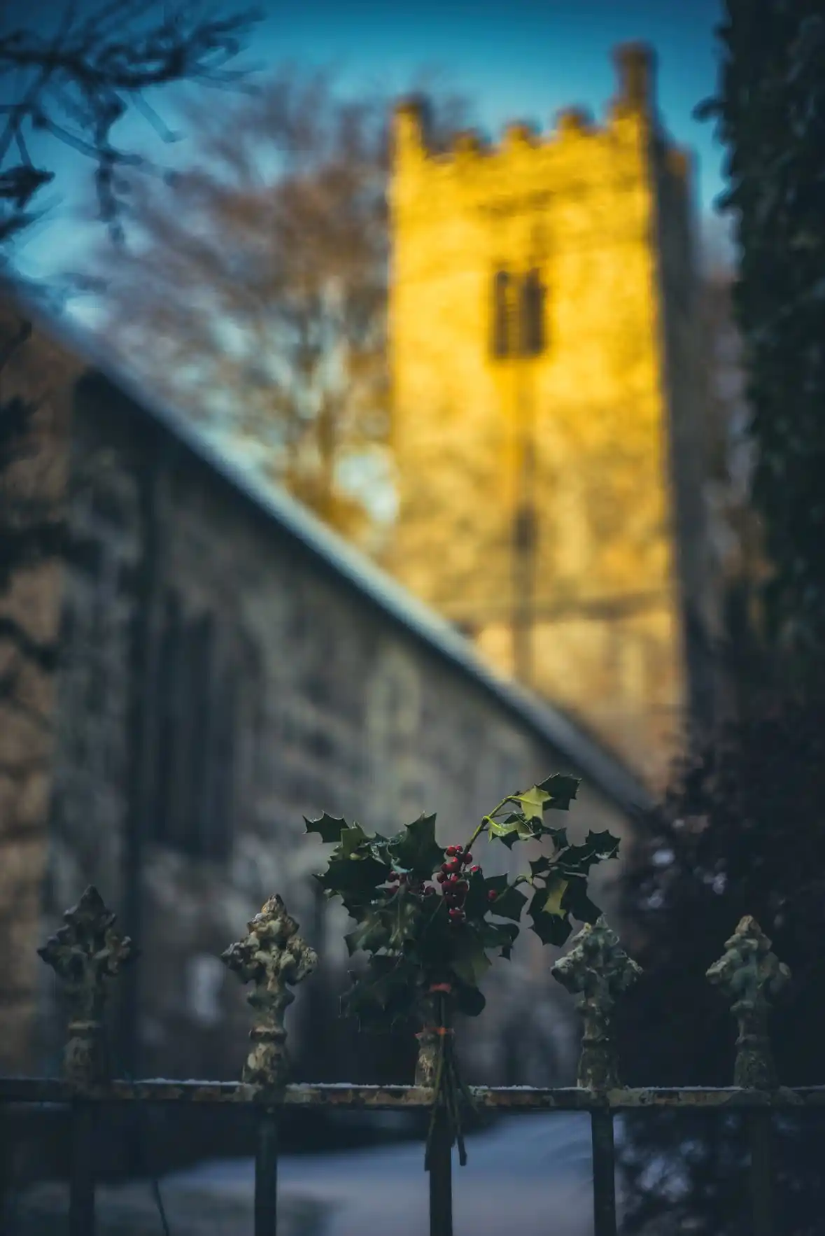
Three Holy Trinity churches
- Drewsteignton. Grade I, 15th or early 16th century granite, with a three-stage tower on the east side of the village square.
- Gidleigh. Gidleigh's "Holy Trinity" stands beside the ruins of Gidleigh Castle. It's a Grade I listed church, dating mostly from the late 15th century, with a painted rood screen and five bells. Three of those bells are thought to date from around 1450, old bells indeed.
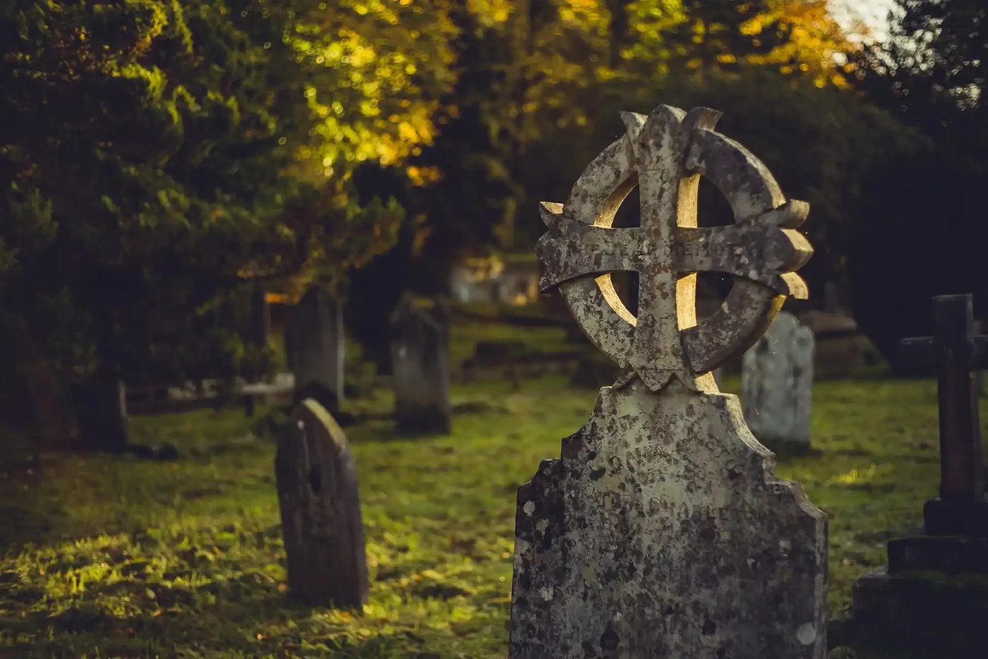
- Buckfastleigh. The roofless church on the hill above the town. It burnt down in an arson attack on 20 July 1992. When I lived in Buckfastleigh it was always rumoured that this was the act of Devil worshippers who were obsessed with the satanic nature of one Richard Cabell (who died in 1672 or maybe 1677), who has always been tied to the Hound of the Baskervilles story. By all accounts Squire Cabell was the embodiment of everything evil about the landed gentry. His caged tomb (to stop his evil soul escaping) is at the entrance to the church yard. I'm more drawn to the idea it was bored drunk teenagers.
Other shared dedications
Church dedications to various Saints repeat all over the UK, so some doubling is expected. On the moor itself, our own church listings gave us these sets:
- St Andrew (four): Ashburton (built before 1449; Wikipedia), Buckland Monachorum (the Drake aisle, near Buckland Abbey), Moretonhampstead (Wikipedia) and Whitchurch on the edge of Tavistock. Tavistock has a fifth "St Andrew" of its own.
- St Mary (six): Walkhampton, Mary Tavy, Sampford Spiney, Holne (Charles Kingsley was born in the parish in 1819), Throwleigh, and the abbey church at Buckfast, which is a monastic church built 1907 to 1932 and not a parish church.
- St Peter (three): Peter Tavy (tower struck by lightning on 21 November 1893), Meavy (with an ancient oak on the village green) and Buckland in the Moor (the clock whose face spells "My Dear Mother").
- St Michael (two): Princetown (built 1810 to 1814 by POWs from the nearby prison) and Chagford (medieval, with the Mary Whiddon memorial).
Mary Tavy and Peter Tavy are separate villages on the same river, one named after each church, which doesn't help.
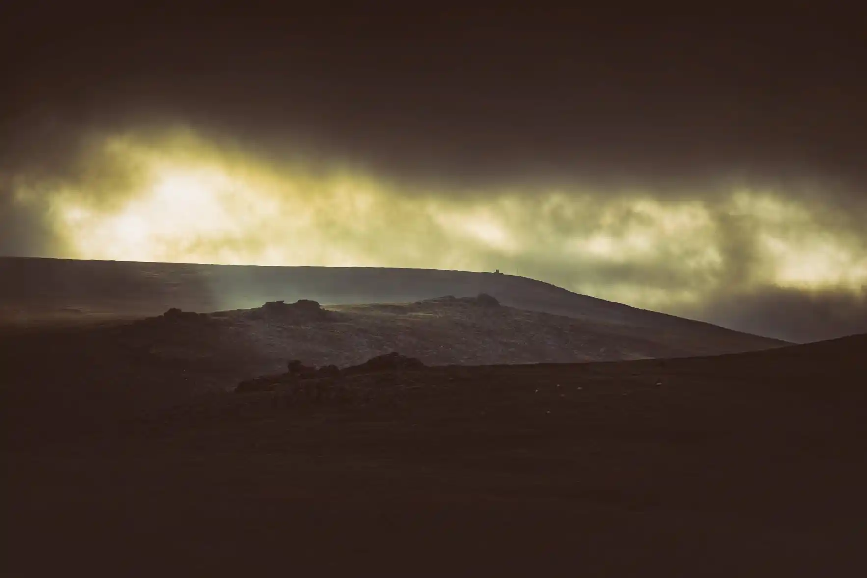
Dartmoor Tors with the same name (or pretty similar)
Sharp Tor
The Tors of Dartmoor database (torsofdartmoor.co.uk) counts seven Sharp Tors, and apparently proper moormen call the Lydford one "Lydford Sharp" to separate it from the one at Tavy Cleave (which I didn't even know until recently actually had a name at all). Sharpitor, near Burrator, is a spelling variant that has a namesake near Lustleigh as well!
| Sharp Tor | Parish | Height | What marks it out |
|---|---|---|---|
| Lydford | Lydford | 519 m | The highest. Named on Mudge's 1809 map. |
| Tavy Cleave | Peter Tavy | 441 m | Steep east face above the River Tavy. |
| Chinkwell | Widecombe in the Moor | 432 m | Also called Sharpy Tor or Charbe Tor. |
| Harford Moor | Harford | 414 m | Near-vertical east face above Piles Copse. |
| Yartor Down | Widecombe in the Moor | 384 m | Two stacks, between Dartmeet and Ponsworthy. |
| Peter Tavy | Peter Tavy | 348 m | Metamorphic rock, not granite. On private land. |
| Castle Drogo | Drewsteignton | 220 m | Two crags of shale above the Teign gorge. |
| Sharpitor | Walkhampton | 415 m | Near Burrator. Little Sharpitor is its neighbour. |
Two of them are not granite at all, which is a fair test of whether the name is describing the rock or the shape. The database says the name is a moorman's word for a tor that stands sharply from its surroundings.
Black Tor
Four Black Tors, scattered across four separate parishes. The Okehampton one is a splendid, often overlooked collection of outcrops above Black-a-Tor Copse on the West Okement. Walkhampton has another, complete with a logan stone and a really pretty Black Tor Falls below it. Then there are the ones at South Brent, above Shipley Bridge, and Ugborough, near Butterdon Hill.
Not quite as bad as the Sharp Tors, but enough to cause confusion.
Pairs
- Hound Tor. The one at Manaton is the famous one: the deserted medieval village, the car park, the Baskervilles link (Wikipedia). The one on the open moor near Steeperton Tor is another missed opportunity if you've not visited. It's in a great spot with wonderful views and a load of interesting granite piles to explore. Close by is a totally different tor, Little Hound Tor. The 1240 bounds of the forest name a "Parva Hundetorre" (Latin for Little Hound Tor), and writers have argued ever since over which of the two tors the jurors meant.
- Hart Tor. The one on Okehampton Common, aka East Okement Farm Tor, is a tiny little thing near to OP22, and the other is on Walkhampton Common between Hart Tor Brook and the River Meavy.
- Hollow Tor. One is beside the road at Rundlestone, with a small quarry on the north face and the local name of "Billy's Tor", and the other is on the west slope of Tor Hill at Widecombe.
- Hare Tor. Both are in Peter Tavy parish: one within the Willsworthy range (the more well known one and on many of my walks in the area) and the smaller tor at Wapsworthy near the Langstone Menhir.
- Fox Tor. The Fox Tor Mires one - another Sherlock Holmes connection (with the infamous Childe's Tomb, linked to the Grimpen Mire story) - and a smaller tor on the River Tavy west of Mary Tavy.
- Butterdon Hill. The one above Harford has the Butterdon stone row, over 2 km long, running north to the Longstone on Piles Hill. The one north of Moretonhampstead has a 2.3 m standing stone and no row.
- Hunter's Tor. At Lustleigh Cleave, with an Iron Age hillfort, and in the Teign Gorge near the Hunter's Path.
- Clay Tor. The Tors of Dartmoor database lists two sites for the name, one identified by Hemery and one by Crossing. William Crossing said there is no tor at the other site, so this may be one tor with two disputed locations. I shall report back when I've researched further!
Rough Tor, and the other one in Cornwall
Rough Tor on Dartmoor is a rather remote tor roughly (did you see what I did there?) three miles west of Postbridge. Rough Tor on Bodmin Moor near St Breward is the second highest point in Cornwall (That be over the Tamar innit). On Dartmoor there is also another tor close to the Okehampton Army Base written as Rowter or Row Tor but pronounced like "rough".
Hills, wells, streams and the rest of Dartmoor's same-name places!
Black Hill and White Hill
- Black Hill, Haytor: a flat-topped spur at the north edge of Haytor Down, with cairns, and only a short walk from a car park (Treks and Tors).
- Black Hill, north Dartmoor: a remote plateau inside the Okehampton range, with a small pile of stones at the top. Worth visiting if you're popping to Cranmere Pool (Treks and Tors).
- White Hill, Willsworthy: a tiny hill in the middle of Willsworthy Firing Range, with a flagpole on the summit and great views towards Hare Tor.
- White Hill, above Taw Marsh: a fantastic Bronze Age settlement with hut circles, enclosures and reaves; White Moor Stone Circle is close by.
Fitz's Well and Fice's Well
These are variants of one surname, spelt Fitz, Fytz, Fice and Fize (William Crossing noted the variation), and the same pixie-mist legend is told at both. A couple lost in a mist drink at the spring and the mist lifts. Fitz's Well is in Okehampton Park, with a small granite cross by the spring (Legendary Dartmoor). Fice's Well is just outside Princetown, a drystone granite dipping chamber with a lintel marked "I.F. 1568", and it is Grade II listed (Legendary Dartmoor). A bronze rapier of about 1200 to 900 BC was found nearby in 1906.
Four Walla Brooks on Dartmoor
Wikipedia lists four streams of that name or its variant, Wallabrook. One rises near the Warren House Inn and runs south to the East Dart near Babeny. A second, North Walla Brook, rises in the same place and runs north east towards the Bovey. A third rises near Hangingstone Hill and joins the North Teign. The fourth rises just south of Doe Tor and runs west to the Lyd. The only reliable way to identify one is to say which river it joins.
I found myself checking what the etymology of "Wallabrook" might be, as I vaguely remembered reading somewhere that it was one of those old word/new word combinations that basically meant the same thing ... walla being a forgotten word for a spring or brook ... so, Wallabrook basically means BrookBrook.
One of the exciting plans I have for "Our Dartmoor" is cataloguing as many old texts about Dartmoor as possible and then using AI to find connections and help me search and research. It's very much a work in progress, but today I asked it to search the library for references explaining where the name Wallabrook comes from, and this is what it found:
- The Welshman's water: An Exploration of Dartmoor and Its Antiquities by John Lloyd Warden Page (read it on archive.org) reads Wallabrook as "the Welshman's water". It takes the first part from the Old English wealh, plural wealhas, a word the Saxons used for the native Britons, and puts it with Wallaford ("the road of the Wealhas") and the River Walkham ("the Welshman's valley"). A Handbook for Travellers in Devon and Cornwall (John Murray, 1872 edition on archive.org) agrees, calling Wallabrook "the Welshmen's stream", and adds that the many Wallabrooks are generally marked by a group of circular hut foundations.
- Tin workings: the Report and Transactions of the Devonshire Association (volume 10, 1878; see Transactions of the Devonshire Association) says the "Walla" of the many Walla Brooks is undoubtedly Celtic, and favours Mr. Bate's derivation from the Cornish wheal, a tin working. The same Murray handbook, in another passage, is undecided: it suggests that Wallabrook and High Willes may be memorials either of old tin mines (the Cornish huels, pronounced "wheels") or of the wealhas, the Britons.
- Older spellings: the forest boundary records give Waxlebroke (1240), Wellabroke, Wallebrok and Wallabrook. The Devonshire Association paper on the perambulations (volume 24, 1892, on archive.org) takes Waxlebroke to be the North Walla Brook.
Obviously the best thing to do is your own research (never take anything at face value). However, I think this idea might have legs!
Longstone and Langstone - Dartmoor's Confusing!
This is a descriptive name, so it turns up everywhere. The Dartmoor Resource menhir guide lists the Shovel Down Longstone (3.4 m, on the Chagford, Gidleigh and Lydford parish boundary, at the end of two stone rows), the Langstone Moor stone near Merrivale (2.76 m, re-erected in 1893, with bullet marks from target practice), the Longstone Hill stone by Meldon Reservoir (a fallen 1.75 m stone) and the Piles Hill stone near South Brent (fallen, 2.5 m, at the end of the Butterdon row).
Nun's Cross, the cross and the farm
Nun's Cross, also called Siward's Cross, is recorded in the 1240 Perambulation as "crucem Sywardi" (Legendary Dartmoor). The "Nun's" name is first recorded in 1699 as "Nannecross". Nun's Cross Farm is a separate building. The first cottage there dates from 1870 (John Hooper's Duchy lease) and the present house from 1901. It is now a school and activity bunkhouse. The farm is not medieval and does not date from the monks. However, there is also a ruin of another farm close by (personally I'd say that's also not medieval, but my B in 'O' Level History means I'd take this with the scepticism it deserves!).
Brent, Buckland and Hanging Stone
- South Brent and Brent Tor. South Brent is a village in the Avon valley. Brent Tor (usually spelled Brentor; Wikipedia) is a volcanic plug four miles north of Tavistock, topped by the church of St Michael de Rupe, rebuilt in 1319.
- Buckland in the Moor and Buckland Monachorum. The first is a small village on the east side, where the Ten Commandments were carved on Buckland Beacon between December 1927 and June 1928 (Wikipedia). The second is on the west edge near Yelverton, beside Buckland Abbey, later the home of Sir Francis Drake.
- Hanging Stone. Legendary Dartmoor lists at least three, at SX 5512 7629, SX 5850 6365 and SX 6160 8620. Several carry the same story of a sheep thief strangled by the stolen animal on his back. Crossing says moormen reserve the name for the outlier rock on Hangingstone Hill.
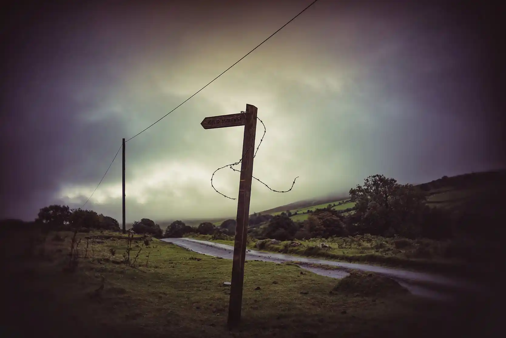
How to tell places on Dartmoor apart
- Best to give the parish, or even better a grid reference, every time.
- Use the bracketed form the brilliant Tors of Dartmoor database does: Sharp Tor (Lydford), Black Tor (Walkhampton).
- Check the height and the rock. Two of the Sharp Tors are not granite.
- Be very wary of a description that does not match coordinates. That's how my first attempts at building listings on the website ended up describing the wrong bloody hill.
I'm learning all the time that there are different names for places - some locals swear that it's Cawsand Hill and others will refuse to call Great Nodden anything but Plum Pudding Hill. Who am I to judge? I just want to make sure nobody gets lost - it's for others to argue over names.
Please feel free to let me know if I missed any, or have got my facts wrong here ... it's very likely!
Sources and further reading
- Tors of Dartmoor database, tor pages by name: torsofdartmoor.co.uk (for example Sharp Tor (Lydford))
- Wikipedia: List of Dartmoor tors and hills, Walla Brook, Rough Tor, Hound Tor, Sharp Tor
- Legendary Dartmoor: Fitz's Well, Fice's Well, Nun's Cross, Hanging Stones
- Historic England list entries: Gidleigh Holy Trinity 1106128, Drewsteignton Holy Trinity 1106073
- Dartmoor Resource, menhirs
- Treks and Tors: Black Hill (Haytor), Black Hill (near Cranmere Pool), White Hill
- Wikipedia church pages: St Andrew, Ashburton, St Andrew, Moretonhampstead