

← Browse Tors & Landmarks · Browse the directory
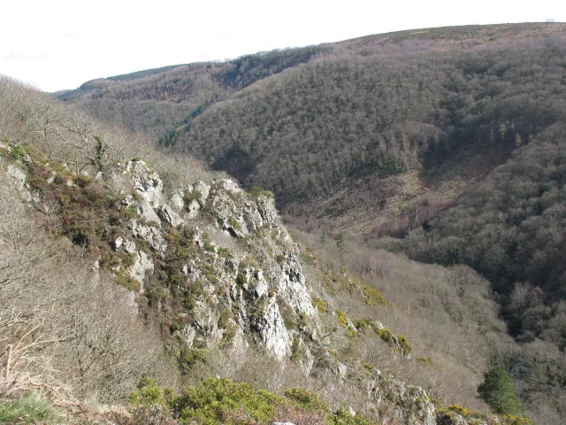
Main image: Photo: Stephen Craven, Wikimedia Commons
- Parish: Drewsteignton
- Height: 220 m
- Grid reference: SX 7286 8986
- Rock: Shale (metamorphic), not granite
- Also called: Sharpy Tor
This Sharp Tor is formed of two prominent crags set high on the steep hillside north of the River Teign, overlooking the gorge. Unusually the rock looks like shale rather than granite. It is reached along the Hunter's Path, which passes within a few metres of the top. Old tithe maps for Drewsteignton parish record the tor as Sharpy Tor.
It lies about 700 m east of Hunter's Tor (listing 3842), another outcrop on the same hillside, and the views from Hunter's Tor look east along the gorge towards this one. Castle Drogo (listing 340) stands on the ridge above.
Dartmoor has seven tors called Sharp Tor and two spelled Sharpitor. This is the lowest of the seven, at 220 m, and one of the few that is not granite; the Sharp Tor at Peter Tavy is also metamorphic rock.
This is a location on Dartmoor that has a namesake. Read more about this: Dartmoor Places With the Same Name
Contact us if you have information about this listing
Official record
Explore the area
Go deeper with Dartefacts
Dartefacts is a database of Dartmoor sites with far more close-up detail than we can show here, and it is the best place to go deeper. Dartefacts is free to use, and nobody has to pay to look things up. If you want more, a yearly subscription adds 10-figure grid references, map zoom down to 1:25,000 and lists to tick off the places you have visited, and it helps keep the site going. We would encourage you to subscribe.
Thoughts
Be the first to share a thought about Sharp Tor, Castle Drogo.
Share a thought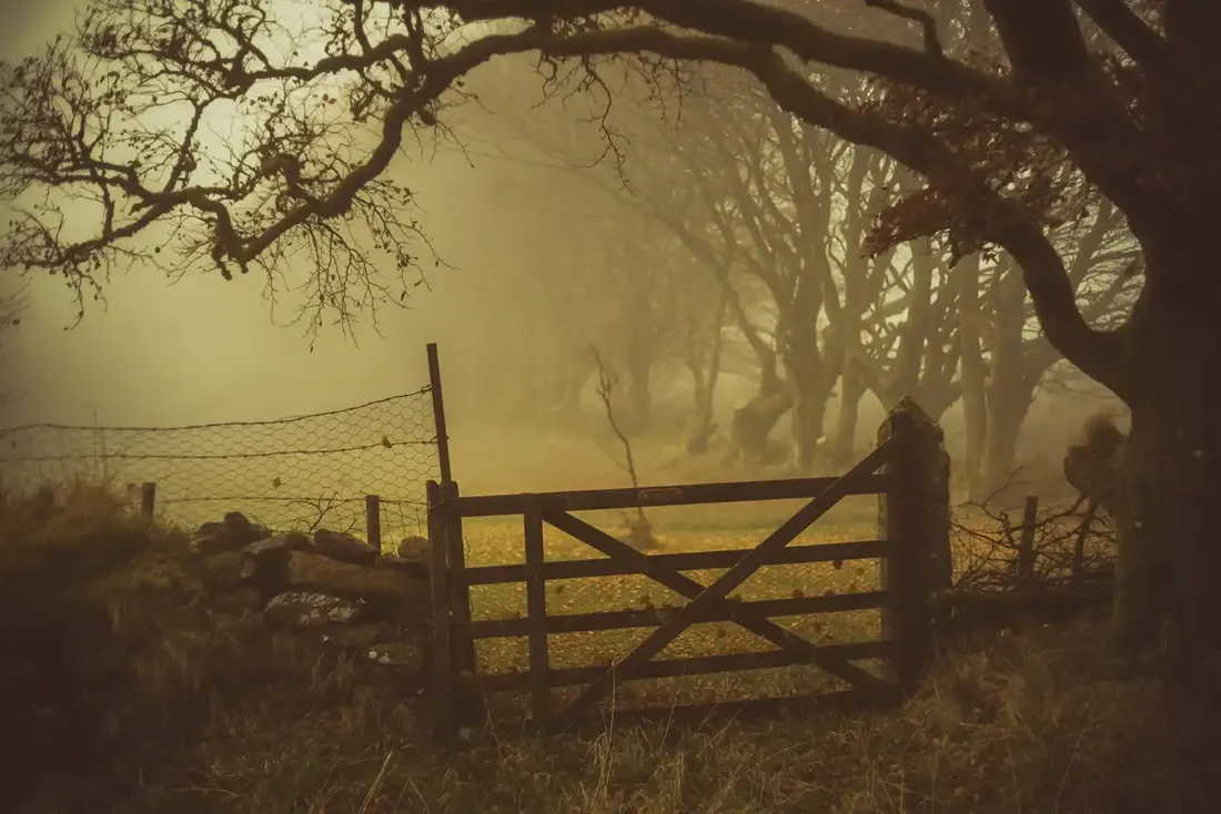 Near The Cherrybrook Hotel on the B3212. Photograph by Glavind Strachan Photography
“It was already dusk; dark mist wreaths moved upon the Moor, and oncoming night winds sighed of rain.”
Also on Our DartmoorMilestone, SX 503 768 — A stone milestone marking a route across the open moor, likely from the 18th or 19th century.
Know another Dartmoor place, tor or landmark we should include? Suggest a listing, it is free.
Suggest a listing