Skip to content

← Browse the directory

Rivers & Waterways

Share
View on map
Avon Dam Reservoir
Rivers & Waterways

Avon Dam Reservoir

Rattery

A remote reservoir high on the southern moor, on the River Avon above Shipley Bridge. Built between 1954 and 1957, it is reached only on foot, by a good track up the Avon valley from near South Brent.

Bala Brook
Rivers & Waterways

Bala Brook

Didworthy

A southern moor brook running down off the high ground near the Avon, past old tramway and mining remains, to join the River Avon in the wooded country above South Brent.

Becka Brook
Rivers & Waterways

Becka Brook

Manaton

A lively moorland brook that rises near Hound Tor and tumbles down through boulders as Becky Falls before joining the River Bovey below Trendlebere Down.

Black-a-ven Brook
Rivers & Waterways

Black-a-ven Brook

Dartmoor Forest

A short northern moor brook flowing down from below East Mill Tor to join the East Okement River at Cullever Steps, a well-known ford and crossing near Belstone.

Blackbrook River
Rivers & Waterways

Blackbrook River

Dartmoor Forest

The Blackbrook River, also known as the Blackabrook River, is a tributary of the West Dart River on Dartmoor in Devon,

Burrator Reservoir
Rivers & Waterways

Burrator Reservoir

Meavy

Burrator Reservoir is a reservoir situated on the southern side of Dartmoor in Devon, England. It is part of a number of reservoirs and dams that were built over the course of the 19th and 20th centuries in the area now covered by Dartmoor

Cherry Brook
Rivers & Waterways

Cherry Brook

Dartmoor Forest

The Cherry Brook is a tributary of the West Dart River on Dartmoor, Devon,

Cowsic River
Rivers & Waterways

Cowsic River

Dartmoor Forest

A short, tumbling tributary of the West Dart, rising in boggy ground near Devil's Tor on the north plateau and running south past the Beardown Tors to meet the Dart at Two Bridges.

Cranmere Pool
Rivers & Waterways

Cranmere Pool

Dartmoor Forest

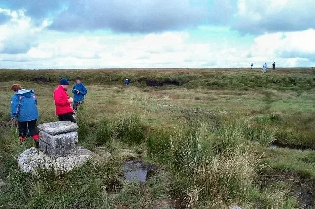
Cranmere Pool is a small depression within a peat bog in the northern half of Dartmoor, Devon, England, at grid reference SX604858. It lies 560 metres (1,840 ft) above sea level on the western flank of Hangingstone Hill, close to the

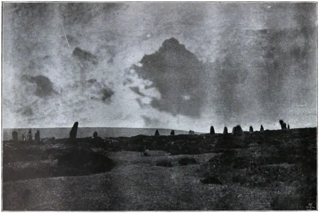
Dartmoor Illustrated, page 70Plate from Dartmoor Illustrated, page 70, 1900

“Even the half-wild cattle which range the other parts of the moor at pleasure, seem to shun the swampy steppes of the central wilderness.”

Also on Our DartmoorCowsic River — A short, tumbling tributary of the West Dart, rising in boggy ground near Devil's Tor on the north plateau and running south past the Beardown Tors to meet the Dart at Two Bridges.