Research & Academia
Accessing the Wellbeing Commons
A research project exploring access to water on Dartmoor

A research project exploring access to water on Dartmoor
Which Dartmoor place has also been known as "the Plymouth Leat"?
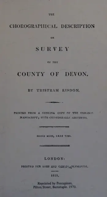
Devon antiquarian and topographer (about 1580 to 1640), author of the Survey of the County of Devon and a note-book of genealogy and heraldry.
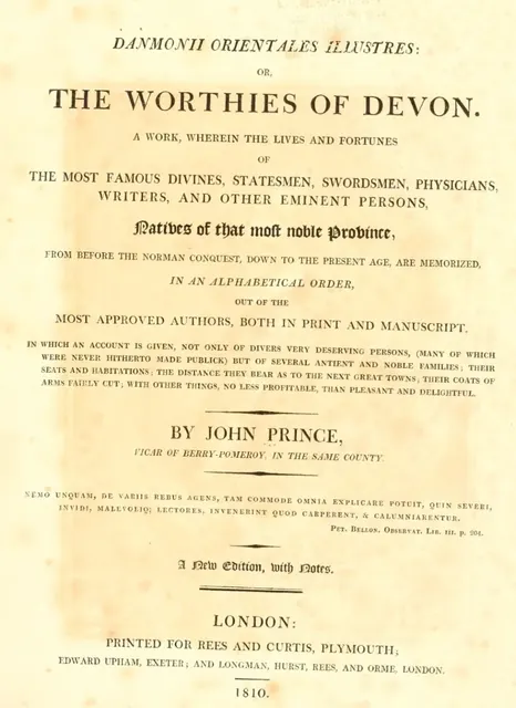
Vicar of Totnes and of Berry Pomeroy (1643 to 1723), author of The Worthies of Devon.
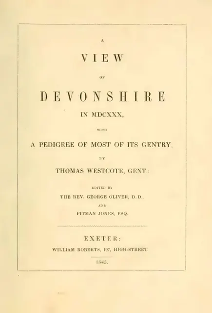
Thomas Westcote of Raddon, Shobrooke: seventeenth-century Devon historian and topographer, author of A View of Devonshire in MDCXXX.
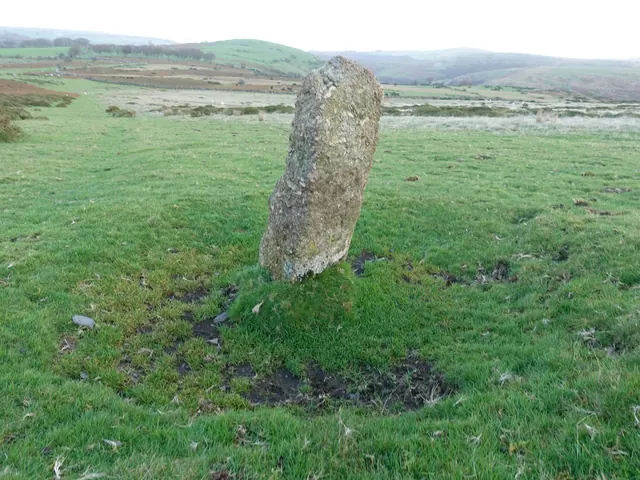
Sourton, Okehampton
An uninscribed granite boundstone on the slope east of the Sourton Tors Ice Works, the first of five blank stones recorded around the site.
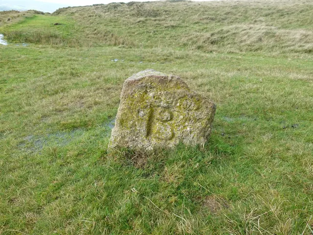
Sourton, Okehampton
A squat granite boundstone cut BS, for Bridestowe and Sourton, on the moor south-east of the summit of Sourton Tors.
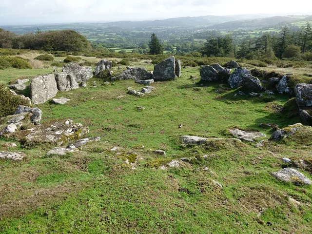
Teigncombe, Chagford
One of the prehistoric stone roundhouses on Teigncombe Tor, on the slope below Kestor above Teigncombe.
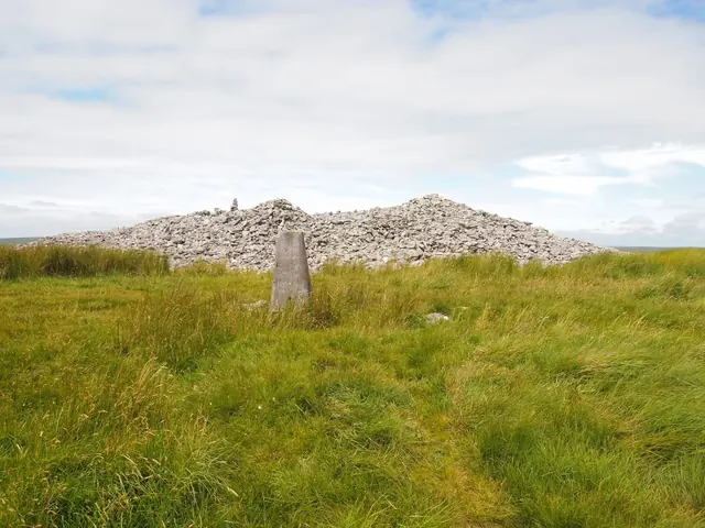
Ugborough, Ivybridge
The 464 m top of Ugborough Moor, crowned by three huge Bronze Age cairns and an Ordnance Survey trig pillar, once called Three Barrows Tor.
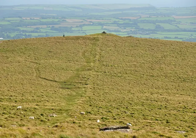
Cornwood, Ivybridge
A 429 m hill on the south-west edge of the moor above Cornwood, with a summit cairn seen from Plymouth, an Ordnance Survey trig pillar and prehistoric settlements on its slopes.
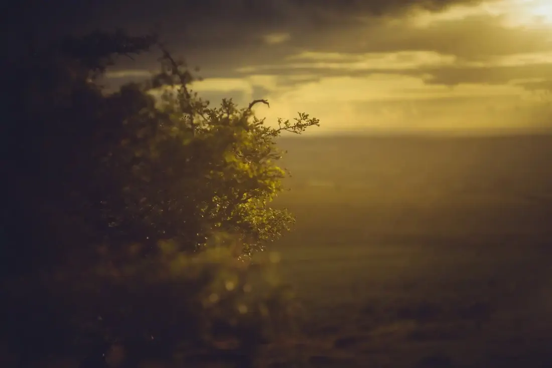 Photograph by Glavind Strachan Photography
“In the murk of that silent hour, a spirit of thirst seemed to animate the heather and the marshes that oozed out beneath.”
Also on Our DartmoorRing cairn near Devil's Bridge — A ring cairn 8 m across inside, a ring of close-set stones up to 0.8 m high on a west-facing slope above the Meavy valley, 220 m south-south-east of Devil's Bridge.