

Prehistoric Dartmoor Walks
A free guide to Dartmoor's prehistoric settlements, stone rows, circles and cists, with walks planned round public transport, site tables, GPS data and scans of the old exploration reports.
Showing listings tagged “Stone Circle” Show all listings
A free guide to Dartmoor's prehistoric settlements, stone rows, circles and cists, with walks planned round public transport, site tables, GPS data and scans of the old exploration reports.
What is the height of Beardown Man above ground?
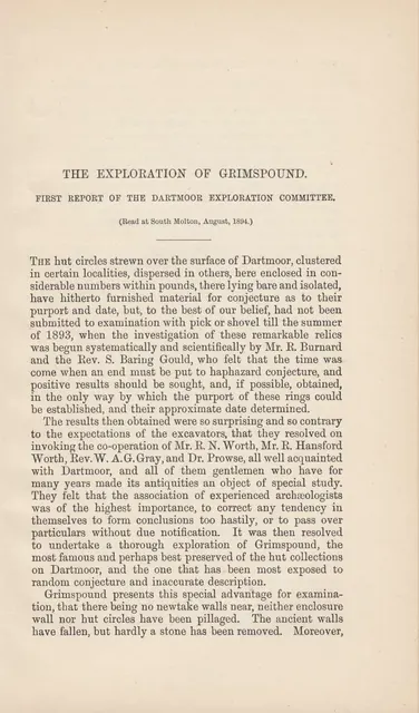
The Devonshire Association committee that dug, surveyed and re-erected Dartmoor's hut circles, stone rows and cairns from 1893, with eleven reports by 1906 and a twelfth in 1935.
Dartmoor-based photographer and story-teller. Chasing the sun through megalithic Dartmoor.
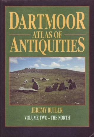
Volume Two of Jeremy Butler's five-volume Dartmoor Atlas of Antiquities (Devon Books, 1991), covering the north of Dartmoor.
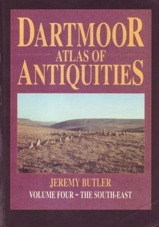
Volume Four of Jeremy Butler's five-volume Dartmoor Atlas of Antiquities (Devon Books, 1993), covering the south-east of Dartmoor.
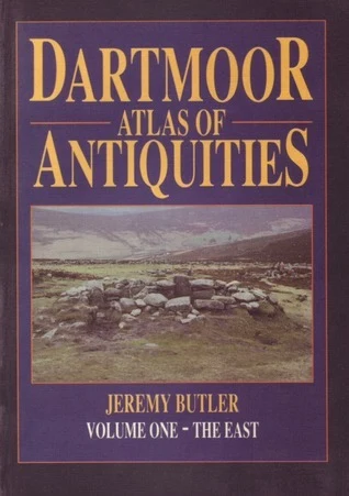
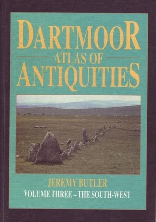
The five-volume survey of Dartmoor's archaeological sites by Jeremy Butler (Devon Books, 1991 to 1997): four regional volumes and a fifth on the Second Millennium BC, with maps, plans, grid references and an index.
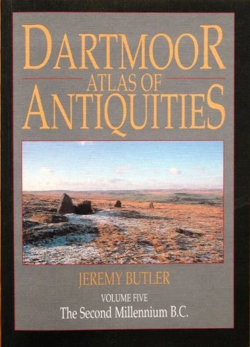
Volume Five of Jeremy Butler's five-volume Dartmoor Atlas of Antiquities (Devon Books, 1997), covering the Second Millennium BC.
Volume One of Jeremy Butler's five-volume Dartmoor Atlas of Antiquities (Devon Books, 1991), covering the east of Dartmoor.
Volume Three of Jeremy Butler's five-volume Dartmoor Atlas of Antiquities (Devon Books, 1994), covering the south-west of Dartmoor.