
Brent Hill
South Brent
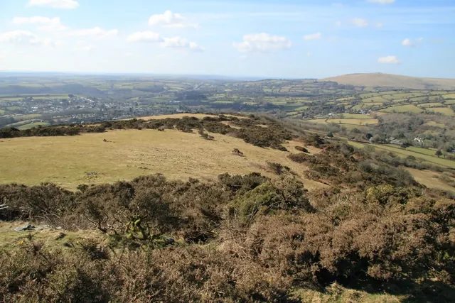
A steep 311 m hill above South Brent with an Iron Age hillfort, the ruins of St Michael's chapel, crags of non-granite rock and an Ordnance Survey trig pillar.
South Brent
A steep 311 m hill above South Brent with an Iron Age hillfort, the ruins of St Michael's chapel, crags of non-granite rock and an Ordnance Survey trig pillar.
What is the earliest known name for the Walla Brook near Wallabrook Clapper Bridge?
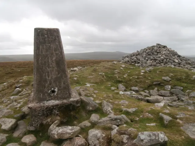
The Ordnance Survey trig pillars on Dartmoor and within 5 km of its edge: grid references, heights and condition, and the place each pillar stands on.
A low granite tor at 582 metres on the south-west spur of High Willhays, above a long boulder field that falls to the West Okement River.
Widecombe-in-the-Moor, Newton Abbot
Exeter land surveyor and antiquary, Fellow of the Society of Antiquaries, who lived at Blackslade in Widecombe-in-the-Moor and edited the 1876 parish book Things New and Old.
Throwleigh, Okehampton
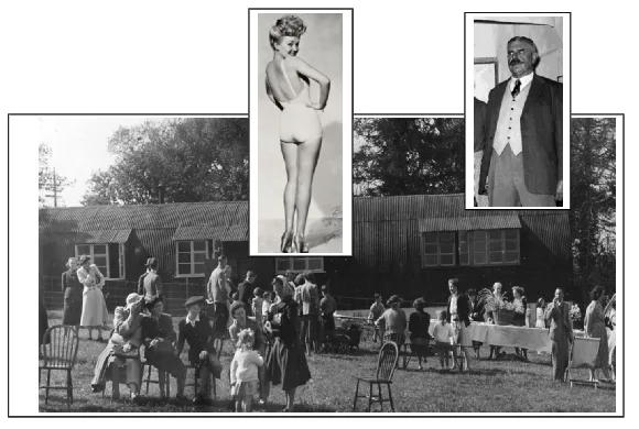
The Throwleigh Archive was conceived in 1999 and since then it has raised awareness of the history and heritage of the village of Throwleigh, on the edge of Dartmoor. The project has assembled an archive of hundreds of photographs, artefacts, documents and sound recordings.
Okehampton
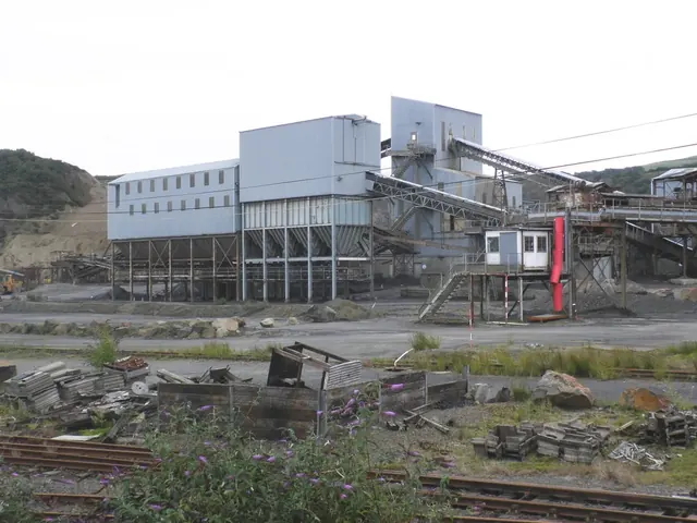
The great railway ballast quarry at the northern edge of Dartmoor, opened in 1874 and mothballed in 2011.
Sheepstor
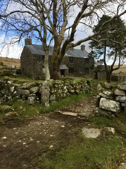
The Grade II warren house of Dartmoor's largest rabbit warren, about 220 acres with over 50 pillow mounds, in the Plym valley.
Princetown
The lost granite pillar on the old Forest boundary that gave Rundlestone corner, on the road from Tavistock to Princetown, its name.
Widecombe in the Moor
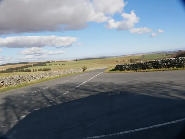
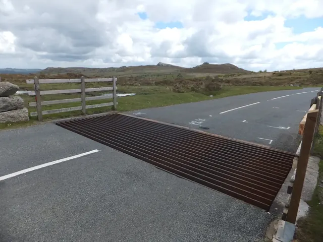
The road junction and cattle grid on the B3387 where roads from Widecombe, Bickington and Haytor meet, with Stentifords Cross beside it.