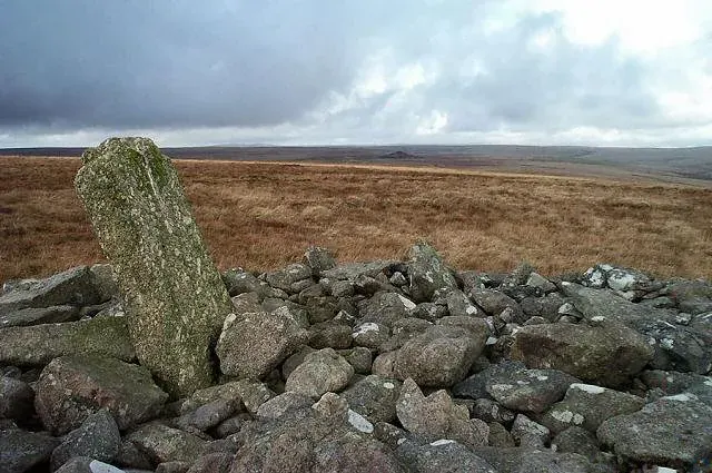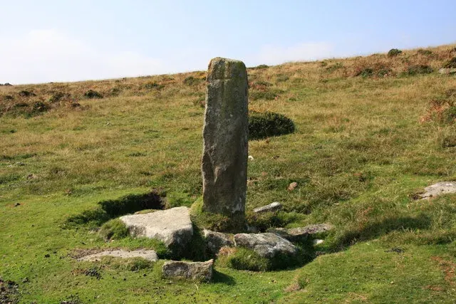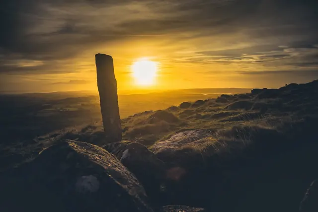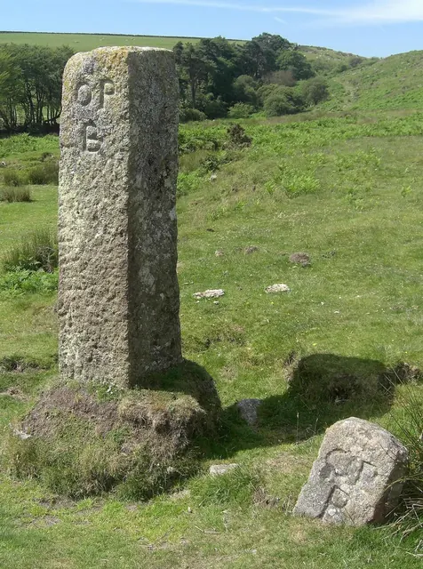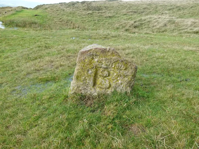
BS boundary stone, Sourton Tors
Sourton, Okehampton
A squat granite boundstone cut BS, for Bridestowe and Sourton, on the moor south-east of the summit of Sourton Tors.
Showing listings tagged “Boundary markers” Show all listings
Sourton, Okehampton
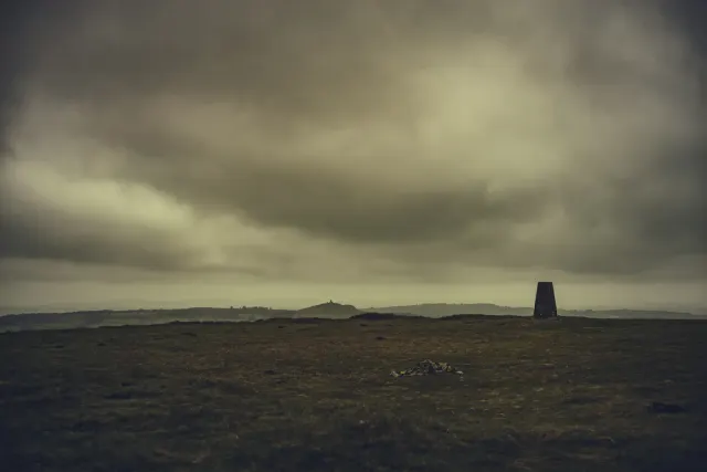
A squat granite boundstone cut BS, for Bridestowe and Sourton, on the moor south-east of the summit of Sourton Tors.

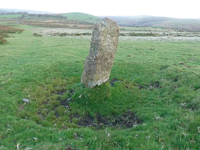
Which Dartmoor place is this?
Sourton, Okehampton
An uninscribed granite boundstone on the slope east of the Sourton Tors Ice Works, the first of five blank stones recorded around the site.
South Brent
A wayside cross set upside down on Western White Barrow, one of four crosses raised by Sir William Petre to mark the Forest bounds in the 16th century.
Widecombe in the Moor
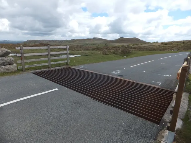
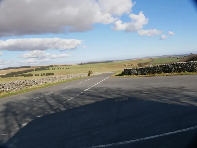
The road junction and cattle grid on the B3387 where roads from Widecombe, Bickington and Haytor meet, with Stentifords Cross beside it.
Princetown
The lost granite pillar on the old Forest boundary that gave Rundlestone corner, on the road from Tavistock to Princetown, its name.
A tall granite boundary stone on Kennon Hill with a cross cut on one face and a G on another, marking the Gidleigh and Throwleigh parish boundary.
South Zeal
A 6 ft boundary stone cut SZ 2 and DC 2 (South Zeal and Duchy of Cornwall) at Rabbits' Holt, Cosdon Hill, one of a line put up in 1885 after the 1883 enclosure dispute.
Belstone
Two OPB (Okehampton Parish Bounds) stones at Cullever Steps, the larger a 19th-century replacement for the smaller: Dartefacts BS No.14 and BS No.15.
Belstone
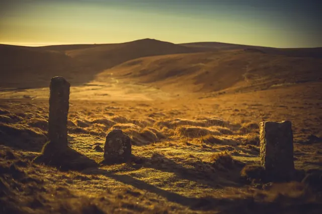
Three parish boundary stones close together on Belstone Common near Lower Tor: two Belstone stones (BB and a smaller, older BB/P) and an OPB Okehampton stone.
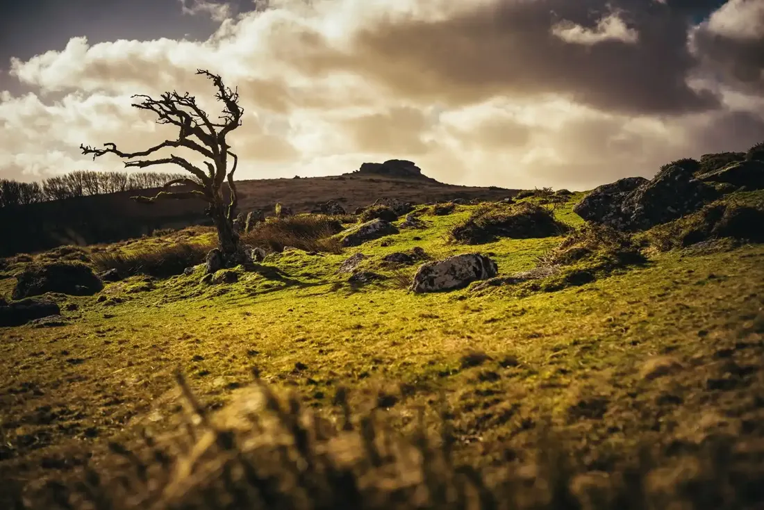
Kestor. Photograph by Glavind Strachan Photography“Being in nature relaxes my body and mind. Daily stresses melt away and my senses come alive as I feel the warmth of the sun on my face and wind in my hair, the springy moss grasses under my feet, and hear the song of the skylark high above me.”
Also on Our DartmoorTwo attached hut circles on Conies Down Tor — Two joined stone hut circles, 3.5 m and 2 m across, terraced into the south-east slope of Conies Down Tor, 30 m west of an enclosed settlement.