Marks: The boundary of Gidleigh and Throwleigh parishes
Carved: A cross on one face, a G (Gidleigh) on another
This tall granite post stands on the slopes of Kennon Hill on the Gidleigh and Throwleigh parish boundary. It carries a cross on one face and a G for Gidleigh on another, and a photographer's caption on Geograph calls it a boundary stone that has probably been modified, rather than a true cross. The Dartefacts catalogue suggests the cross may have begun as a T for Throwleigh and been extended upwards, but that is only a suggestion.
A blogger has guessed that it was taken from the Buttern stone circle, which is also unproven. A different, scheduled stone lies nearby on Kennon Hill Reave, inscribed GP and TP, and is not this one. The stone is on open moor with no road to it. Close by, on a south west facing slope above Gallaven Brook, is a scheduled settlement of at least 22 stone hut circles within an agglomerated enclosure, first listed in 1997.
Dartefacts is a database of Dartmoor sites with far more close-up detail than we can show here, and it is the best place to go deeper. Dartefacts is free to use, and nobody has to pay to look things up. If you want more, a yearly subscription adds 10-figure grid references, map zoom down to 1:25,000 and lists to tick off the places you have visited, and it helps keep the site going. We would encourage you to subscribe.
Our Dartmoor doesn't track you and runs no adverts. We use one cookie to make the
site work, and some pages load videos, maps or optional social media panels from other sites, the panels only if you choose to show them.
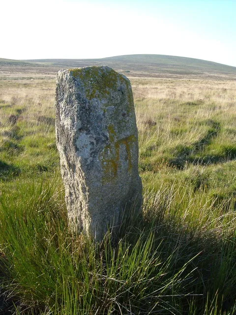
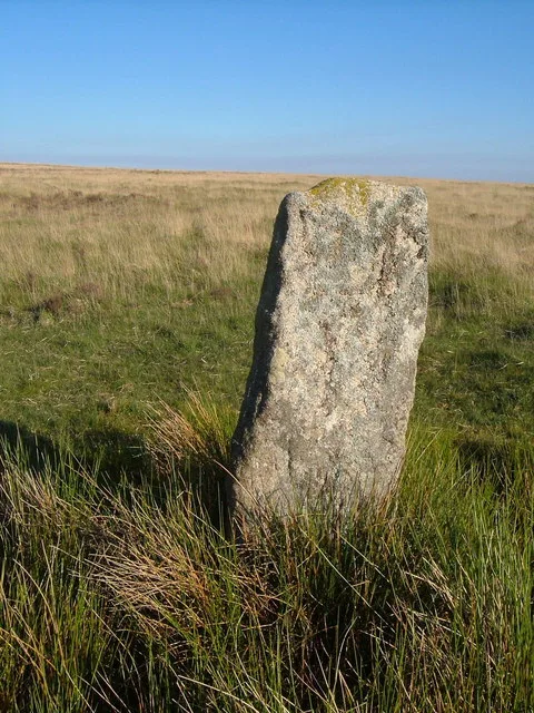



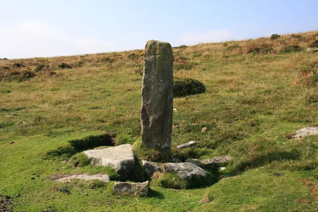
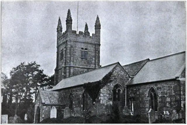 Plate from Dartmoor Illustrated, page 200, 1900
