

← Browse Prehistoric Settlements · Browse the directory

Main image: Photo: Guy Wareham, Wikimedia Commons
Historic England's scheduling record (list entry 1017479) describes a partly enclosed hut circle settlement on a south-west-facing slope above the valley of the Gallaven Brook. It lies in the parish of Throwleigh, about 1 km north of Rival Tor and 3 km west of Gidleigh.
The western part is an agglomerated enclosure of at least 13 irregular areas, each bounded by lengths of rubble walling, with at least 22 huts inside. Three of these are free-standing, three are butted to the walling and the rest are linked by lengths of enclosure wall. The linked huts are clearly older than the enclosure and the butted ones later, so the enclosure grew over time and was added to a settlement that was at first unenclosed. East and south of the enclosure are three unenclosed huts, and further east two more joined by a length of rubble walling. A small oval enclosure marking the eastern edge of the settlement is 12 metres by 10 metres, bounded by a rubble bank 1.4 metres wide and 0.7 metres high with the odd upright stone.
The huts are banks round circular or oval spaces of 3.46 to 52.78 square metres, averaging 18.48, with walls 0.3 to 1.3 metres high, averaging 0.66. Eleven have visible doorways, and the upright-stone, rubble bank and coursed walling building traditions are all represented.
Sources: Historic England list entry 1017479, which cites fieldwork for the Monuments Protection Programme by S. Gerrard (1997).
- Period: Bronze Age
- Status: Scheduled monument (Historic England list entry 1017479)
- Grid reference: SX 6416 8903 (approximate, from the listing's coordinates)
Contact us if you have information about this listing
Official record
Explore the area
Go deeper with Dartefacts
Dartefacts is a database of Dartmoor sites with far more close-up detail than we can show here, and it is the best place to go deeper. Dartefacts is free to use, and nobody has to pay to look things up. If you want more, a yearly subscription adds 10-figure grid references, map zoom down to 1:25,000 and lists to tick off the places you have visited, and it helps keep the site going. We would encourage you to subscribe.
More Dartmoor resources
Thoughts
Be the first to share a thought about Partly enclosed hut circle settlement, Kennon Hill.
Share a thought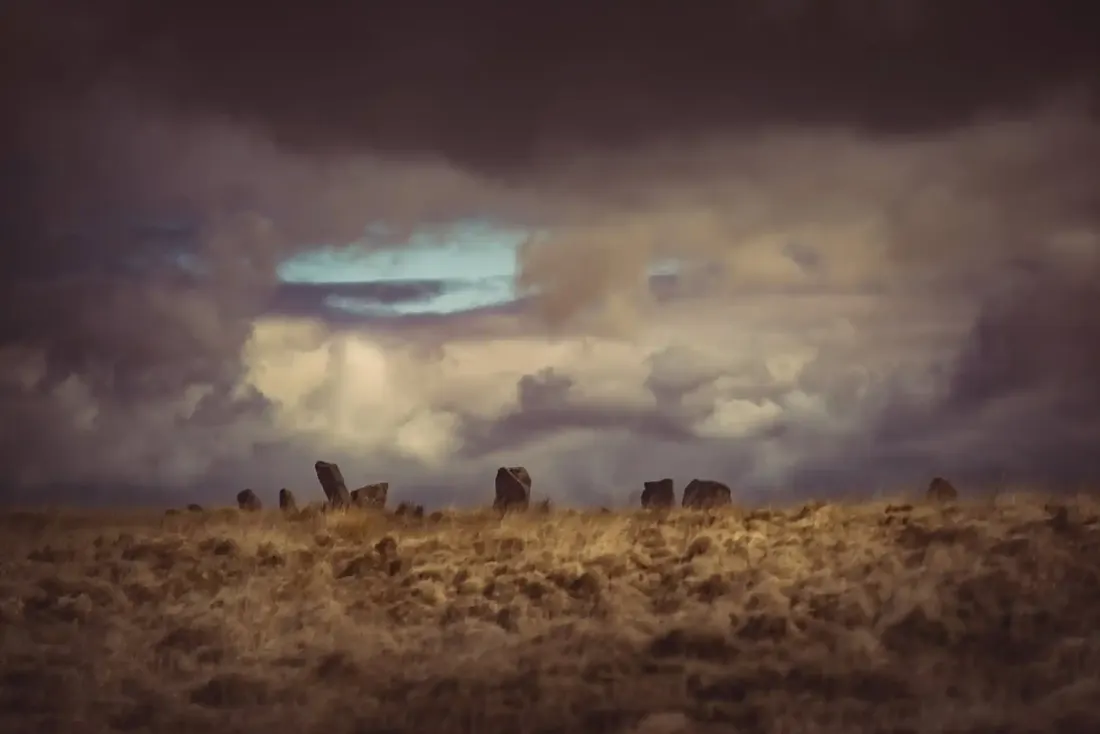 White Moor Stone Circle. Photograph by Glavind Strachan Photography
“A vast, sweet, diamond-twinkling freshness filled the Moor; blue shadows lay in the dewy coombs, and sun-fires gleamed along the heather ridges.”
Also on Our DartmoorThe Wheel of the Year: A Nurturing Guide to Rediscovering Nature's Seasons and Cycles — Rebecca Beattie's guide to the eight seasonal festivals of the year, with rituals and tools for charting your own personal seasons alongside them.
Know another Dartmoor place, tor or landmark we should include? Suggest a listing, it is free.
Suggest a listing