Dartmoor quiz
Which Dartmoor place has also been known as "Cosdon Beacon"?


← Browse Milestones & Boundary Markers · Browse the directory
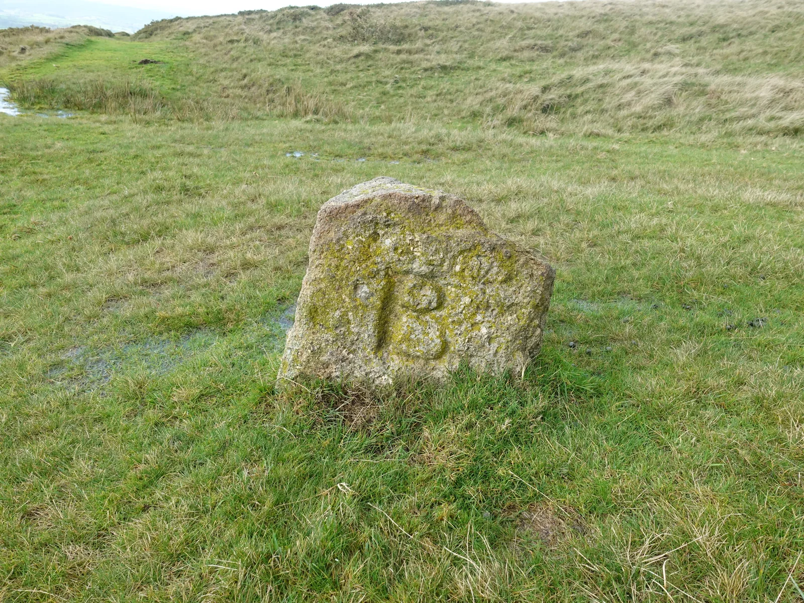
Sourton, Okehampton, Devon
Grid ref: SX 5446 8949 Find this on the Map Reference Finder
Main image: Photograph by Glavind Strachan Photography
A squat granite boundstone cut BS, for Bridestowe and Sourton, stands on the moor about 350 metres south-east of the trig pillar on Sourton Tors. Dartefacts files it with the markers of the Lands Common to the Parishes of Bridestowe and Sourton, and its title there names three areas: Okehampton Hamlets, Lydford, and Bridestowe and Sourton.
The two parishes shared a common on this side of the moor. Samuel Rowe's Perambulation (1896 edition) places Hunt Tor, Stinka Tor and Lower Dunagoat Tor on Bridestowe and Sourton Common. The Sourton Tors stone circle lies about 250 metres to the north-east.
Suggest an edit to this listing
Contact us if you have information about this listing
Dartefacts is a database of Dartmoor sites with far more close-up detail than we can show here, and it is the best place to go deeper. Dartefacts is free to use, and nobody has to pay to look things up. If you want more, a yearly subscription adds 10-figure grid references, map zoom down to 1:25,000 and lists to tick off the places you have visited, and it helps keep the site going. We would encourage you to subscribe.
Be the first to share a thought about BS boundary stone, Sourton Tors.
Share a thoughtWhich Dartmoor place has also been known as "Cosdon Beacon"?
Know another Dartmoor place, tor or landmark we should include? Suggest a listing, it is free.
Suggest a listing