

← Browse Tors & Landmarks · Browse the directory
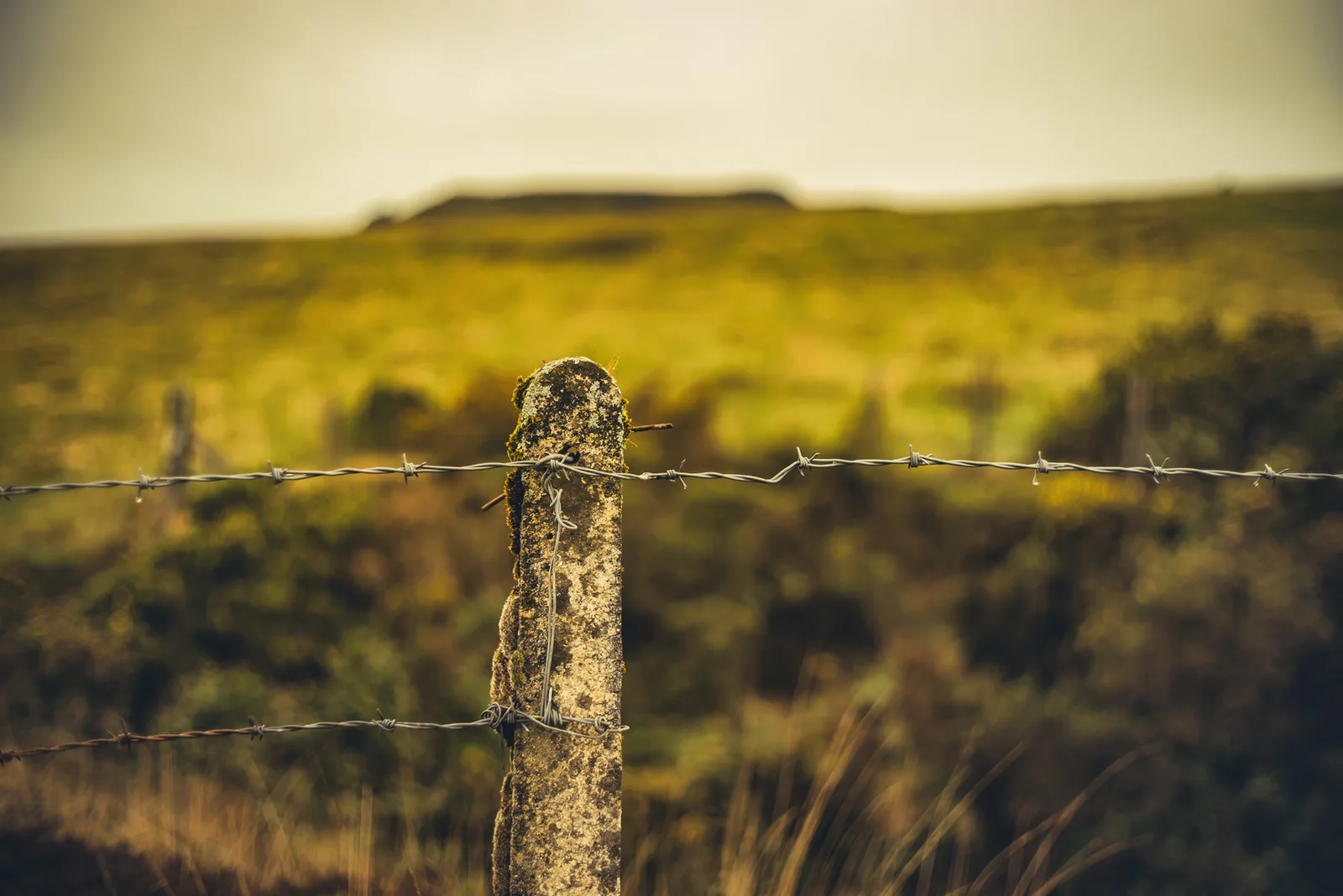
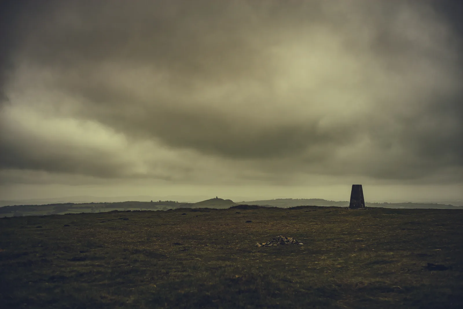
Gibbet Hill lies just west of the A386 near Mary Tavy, with Wheal Betsy on its lower slopes. The hill is named for the gibbet, a structure used in the 1700s to display criminals such as Captain Jack. The hill also holds old mine shafts where tin was once mined. The hill also lends its name to John Bainbridge 's 2023 novel Gibbet Hill , a Dartmoor-set prequel to his William Quest series.
- Grid reference: SX 5033 8113 (approximate, from the listing's coordinates)
Contact us if you have information about this listing
Explore the area
Go deeper with Dartefacts
Dartefacts is a database of Dartmoor sites with far more close-up detail than we can show here, and it is the best place to go deeper. Dartefacts is free to use, and nobody has to pay to look things up. If you want more, a yearly subscription adds 10-figure grid references, map zoom down to 1:25,000 and lists to tick off the places you have visited, and it helps keep the site going. We would encourage you to subscribe.
Thoughts
Be the first to share a thought about Gibbet Hill.
Share a thoughtKnow another Dartmoor place, tor or landmark we should include? Suggest a listing, it is free.
Suggest a listing