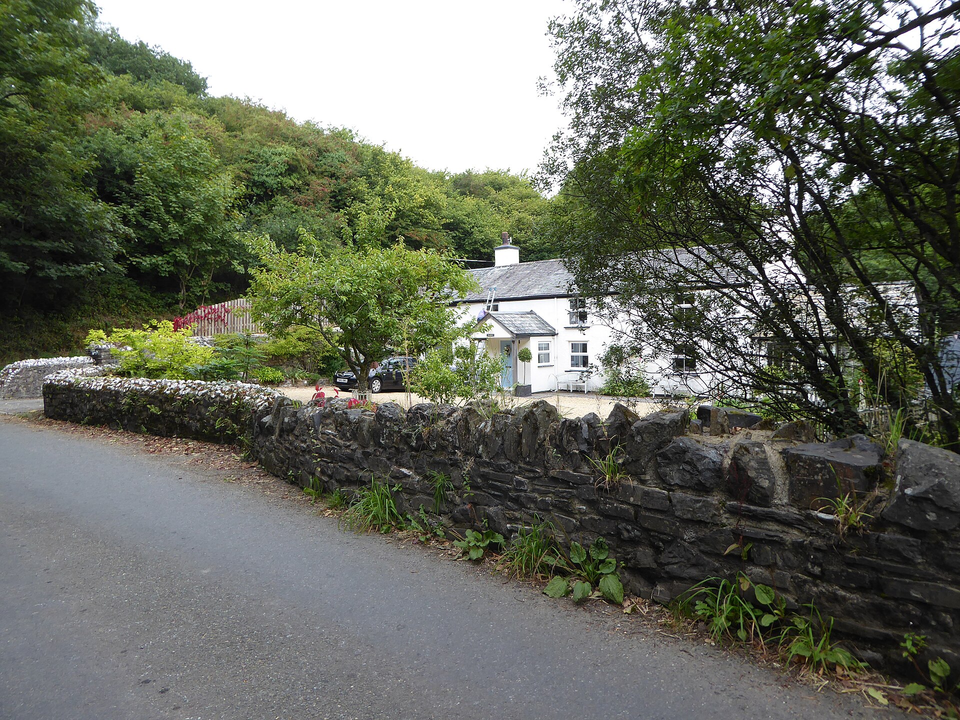
Photo © Vieve Forward, CC BY-SA 2.0, via Wikimedia Commons
Mary Tavy
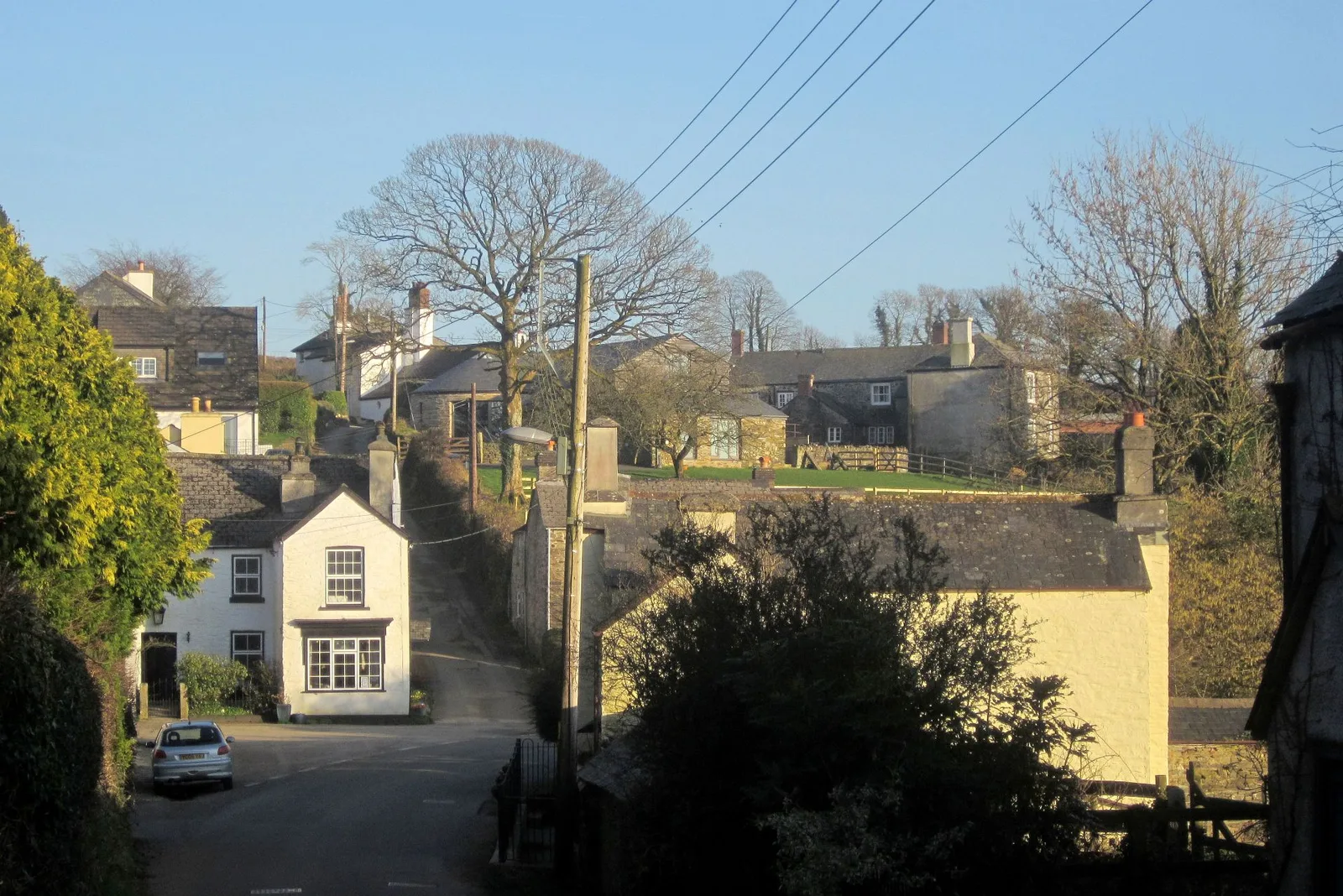
Mary Tavy is a village on the River Tavy, inside the National Park, about 4 miles north of Tavistock. It and Peter Tavy, about a mile apart, take their names from their churches by the river. Domesday Book (1086) records Tavy here with 22 households, held by Iudhael of Totnes. St Mary's Church has parts dating to the 13th century.
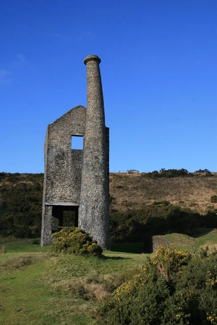
Mining shaped the village. Wheal Friendship was second in size only to Devon Great Consols among Devon's mines. It worked copper until the 1870s and then arsenic, and active mining stopped about 1925, with work on the waste tips lasting into the 1950s. A local account calls it the largest copper mine in the world at its peak, though no second source backs that claim. Wheal Betsy, a lead, zinc and silver mine, probably opened around 1740, was reopened in 1806 and closed for good in 1877. The Army nearly demolished its engine house in 1954, but it was saved and is now National Trust property. Prince Arthur, Queen Victoria's son, toured the mines in 1862.
Gibbet Hill is named for a gibbet, and a local account says condemned prisoners were held at the Iron Cage Gate on the Brentor road before being hanged there. No dates are given for it. In the 1930s the old mining leats were put to use for the Mary Tavy hydro-electric power station.
Mary Tavy on the map
In Mary Tavy
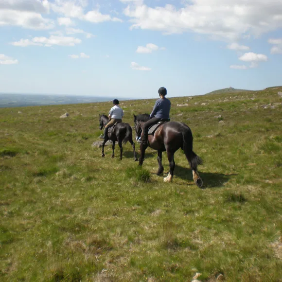
Cholwell Riding Stables
Mary Tavy, Tavistock
Ride straight onto Dartmoor from Cholwell Riding Stables
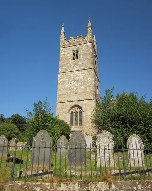
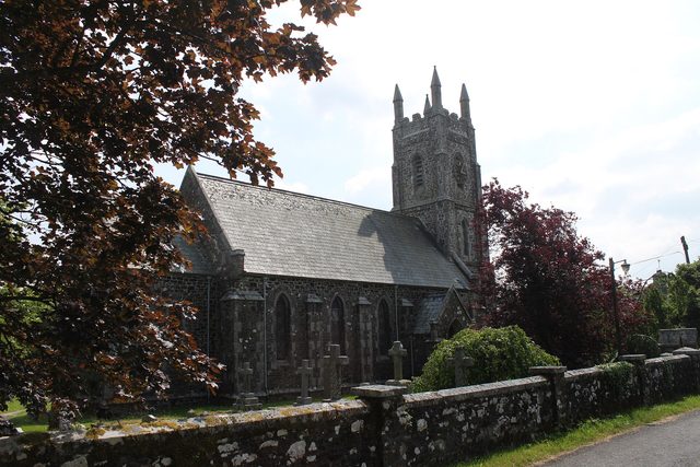
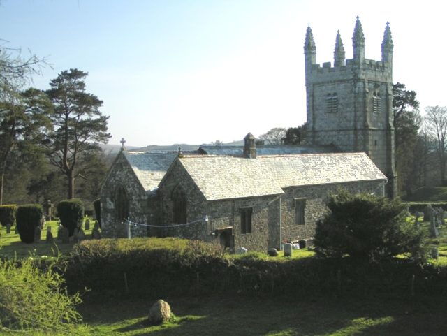
Church of St Mary, Mary Tavy
Mary Tavy, Tavistock
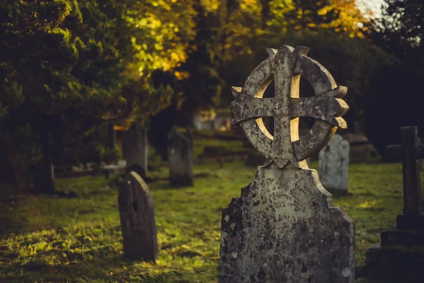
Grade I church with 14th-century nave and chancel, an early 15th-century granite tower and a porch sundial dated 1702.
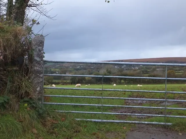
Fox Tor, Mary Tavy
Mary Tavy, Tavistock
A wooded crag of metamorphic rock at 207 m above the River Tavy, the best of the Tavy Four; private land, and not the Fox Tor on the high southern moor.
Mary Tavy Parish Council
Mary Tavy, Tavistock
The parish council for Mary Tavy, a former mining village near Tavistock and Wheal Betsy.
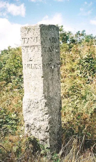
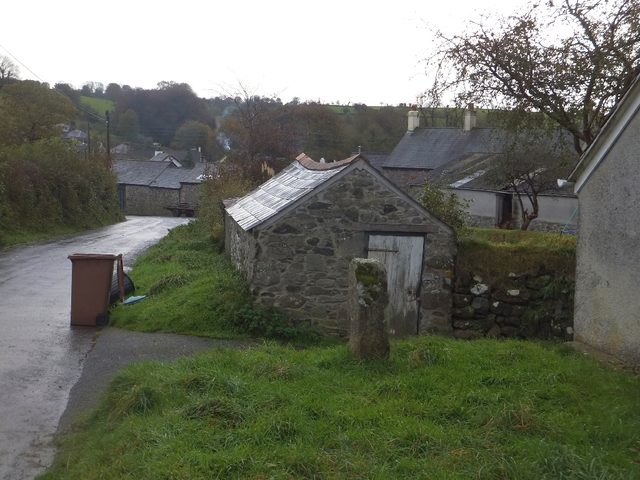
Milestone, SX 490 778
Mary Tavy, Tavistock
A stone milestone marking distances on the old routes crossing Dartmoor, likely from the 18th or 19th century.
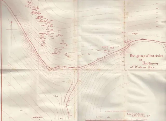
Rev. Irvine Kempt Anderson
Mary Tavy
Clergyman who dug the Watern Oke hut circles in the summer of 1905 and wrote the Dartmoor Exploration Committee's eleventh report, and who opened two small cairns in the Tavy valley.
The Mary Tavy Inn
Mary Tavy
Traditional pub in Mary Tavy village on the western edge of Dartmoor, serving food and drinks to locals and visitors.