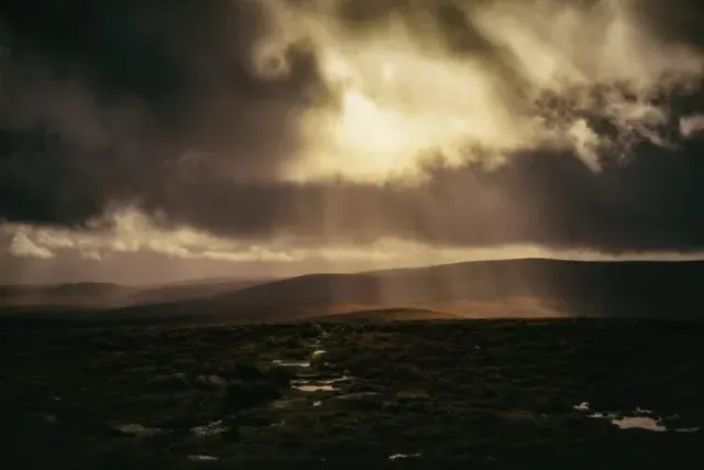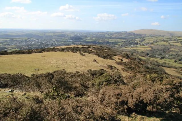
Brent Hill
South Brent
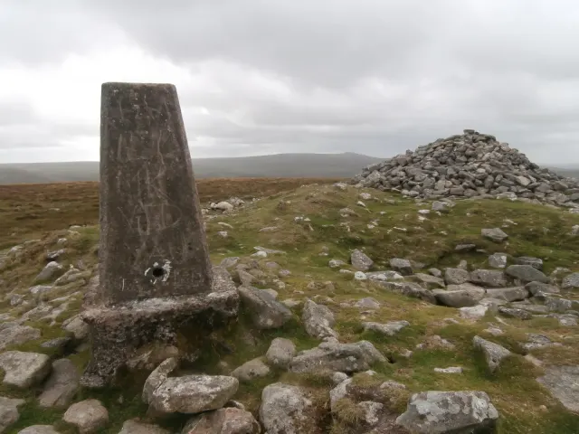
A steep 311 m hill above South Brent with an Iron Age hillfort, the ruins of St Michael's chapel, crags of non-granite rock and an Ordnance Survey trig pillar.
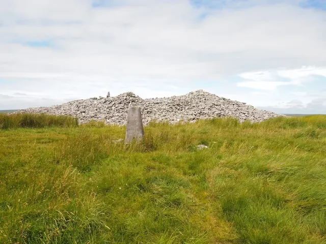
Showing listings tagged “Trig Point” Show all listings
South Brent
A steep 311 m hill above South Brent with an Iron Age hillfort, the ruins of St Michael's chapel, crags of non-granite rock and an Ordnance Survey trig pillar.
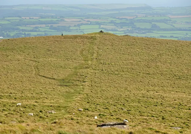
Ugborough, Ivybridge
The 464 m top of Ugborough Moor, crowned by three huge Bronze Age cairns and an Ordnance Survey trig pillar, once called Three Barrows Tor.
Cornwood, Ivybridge
A 429 m hill on the south-west edge of the moor above Cornwood, with a summit cairn seen from Plymouth, an Ordnance Survey trig pillar and prehistoric settlements on its slopes.
The Ordnance Survey trig pillars on Dartmoor and within 5 km of its edge: grid references, heights and condition, and the place each pillar stands on.
Yelverton
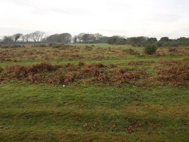
The open common between Yelverton and Plymouth crossed by the A386, with Drake's Leat, Roborough Camp and the old airfield of RAF Harrowbeer.

Which Dartmoor place is this?
Harford, Ivybridge
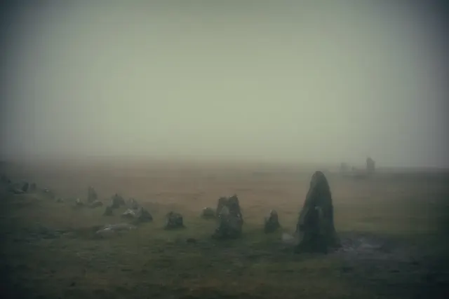
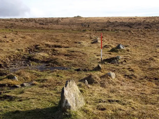
Butterdon Hill, 366 m, above Harford on south Dartmoor: large summit cairns and the start of the 2 km Butterdon stone row.
A distinctive tor with a prominent outcrop on Dartmoor's western edge, near the River Plym.
Ryder's Hill features two standing stones, a cairn, and a triangulation pillar on its summit.
A large, rounded hill with a massive cairn and OS trig point, visible from miles around.
Photograph by Glavind Strachan Photography“The only thing that brought us home on long summer evenings was the ring of a handbell by Mum standing at the field gate calling us in for supper.”
Also on Our DartmoorA Dartmoor Village — A late sequence of poems drawn from the life of a single Dartmoor village, from one who had watched the moor for half a century.