

← Browse Other Heritage Sites · Browse the directory
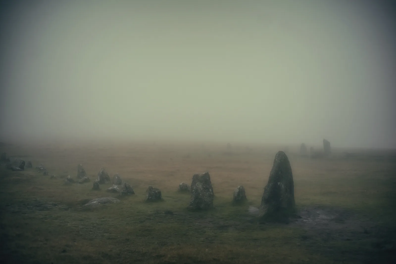
Main image: Photograph by Glavind Strachan Photography
- Where: Longash Common and Merrivale Newtake, on the slopes above the River Walkham by Merrivale Bridge
- Period: Late Neolithic and Bronze Age (about 2400 to 700 BC), with later farming, tin working and rabbit warrening
- Status: Several scheduled monuments (Historic England entries 1013429, 1013430, 1013431 and 1016148)
- Visiting: Free, on open moorland, in daylight hours
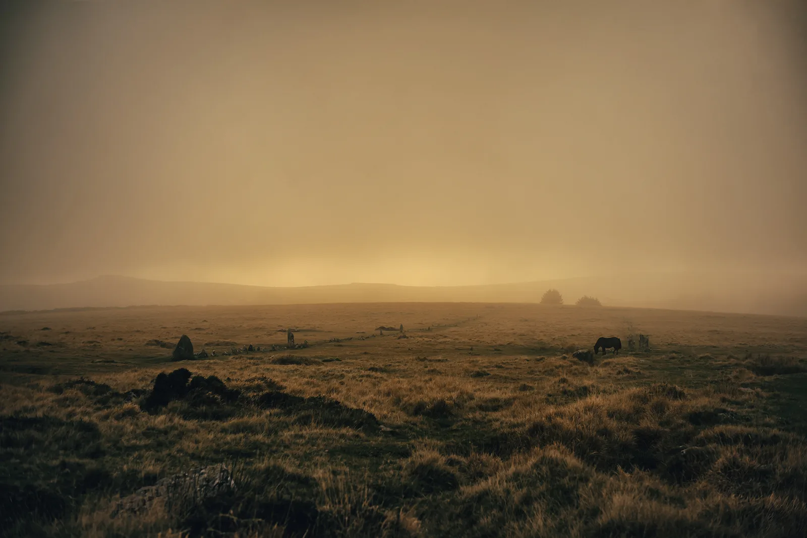
Merrivale is one of the best places on Dartmoor to see how prehistoric people used the moor for both ritual and everyday life. Within a few hundred metres of each other, close to the road, are two long double stone rows, a shorter single row, a stone circle, a tall standing stone and burial cairns with their cists. Beyond them are hut circles, field walls and a prehistoric boundary bank more than ten kilometres long. Later people left medieval farms, tin workings and rabbit warrens in the same fields.
The ritual monuments
Historic England records the main group as two scheduled monuments on Longash Common. The northern double row of upright stones runs roughly east to west for 182 m. Its stones are low, between 0.2 m and 0.4 m high, but a much larger blocking stone stands at the eastern end, up to 1.2 m high. A second double row, 264 m long, lies 24 m to the south and runs roughly parallel, with its own blocking stone up to 1.35 m high. Midway along it is a small cairn ringed by seven upright stones: R. H. Worth thought it the only cairn on Dartmoor set along the length of a stone row. A third row, a single line of stones 42 m long, runs north-north-east to south-south-west south of the other two, with a small cairn at its north-eastern end. Historic England dates most Dartmoor stone rows to the Late Neolithic, about 2400 to 2000 BC.
Around the rows are more cairns. A ring cairn 11 m south of the southern double row was dug by Sabine Baring-Gould in 1851, who found a cist or inner circle of upright stones. A cairn 8 m south of the same row holds a large stone cist, split capstone and all, which the Dartmoor Exploration Committee investigated in 1895; it turned up a flint scraper, a flint flake and a polishing stone.
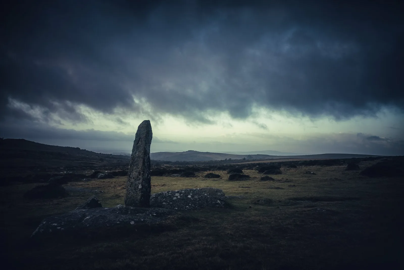
A short way south-west of the rows is the stone circle, a ring 18.5 m across made of 11 low stones. Thirty-three metres south of it stands the Merrivale standing stone, a granite slab 3.2 m high, with a small cairn, a fallen stone and a short line of four stones beside it. The standing stone and the circle are described in their own pages, linked below.
Where people lived and farmed
South-east of the rows a 380 m length of the Great Western Reave survives in the same scheduled area. A reave is a prehistoric boundary bank; this one is about 2 m wide and up to 0.5 m high, and Historic England says it is more than 10 km long in all, the longest known prehistoric land boundary on Dartmoor. Three hut circles and five cairns lie on or beside it.
About a kilometre to the north, in Merrivale Newtake, is a much larger settlement: at least 57 stone hut circles with field systems, the huts between 2.1 m and 8.2 m across inside. Thirty of them have visible doorways. Most of the huts are joined by field walls, which suggests the fields were added after the houses. Historic England notes that the reave seems to have been placed to keep these settlements out of the land beside the River Walkham. More hut circles east of Merrivale Bridge are on our hut circles page.
Later lives
The Newtake also holds a deserted medieval settlement of two longhouses with a farmyard and fields, a tin streamwork and an adit, and a blowing mill: a stone building 8.8 m by 4.8 m with a mouldstone by the door, where molten tin was ladled. It is one of three blowing mills above Merrivale Bridge, which may date to around 1700. Merrivale Warren, with at least 27 pillow mounds on the lower slopes of Great Mis Tor, Little Mis Tor and Over Tor, is on our pillow mounds page.
Visiting
The monuments are free to visit. They are on open, exposed moorland with uneven ground and low, partly buried stones, so check the weather and wear suitable clothes. English Heritage's visitor page, linked below, gives the car park (Four Winds, off the B3357) and the rules; dogs should be on a lead because ponies and sheep graze freely.
The pages for each monument
Suggest an edit to this listing
Contact us if you have information about this listing
The 3 rings on this map are the separate scheduled monuments that make up this listing, placed from Historic England’s records. Tap a ring for its grid reference and a link to its official entry. The pin marks the middle of the group.
Official record
Explore the area
Go deeper with Dartefacts
Dartefacts is a database of Dartmoor sites with far more close-up detail than we can show here, and it is the best place to go deeper. Dartefacts is free to use, and nobody has to pay to look things up. If you want more, a yearly subscription adds 10-figure grid references, map zoom down to 1:25,000 and lists to tick off the places you have visited, and it helps keep the site going. We would encourage you to subscribe.
Thoughts
Be the first to share a thought about Merrivale Antiquities.
Share a thought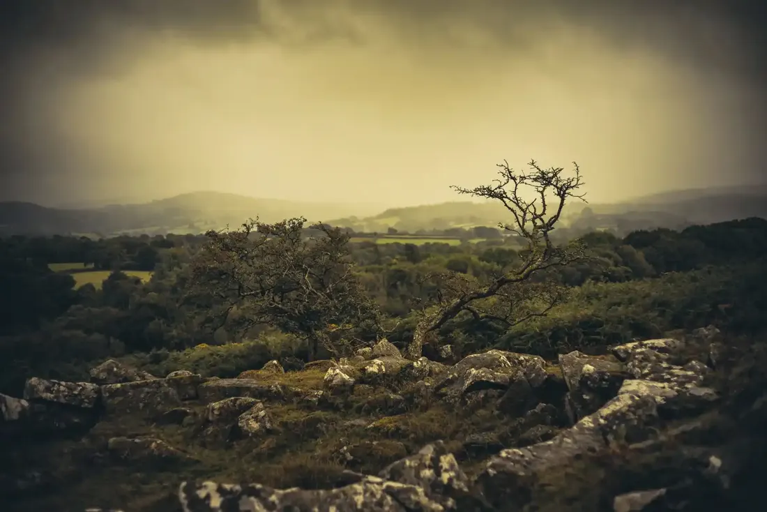 Roundy Pound - Throwleigh. Photograph by Glavind Strachan Photography
“There had been a dense fog over the moor the night before, and it had only just partially cleared when I encountered these two dishevelled objects, looking draggled, wet, and most forlorn. On coming nearer I discovered one to be the school mistress of the Huccaby school, and a friend. When I asked ...”
Also on Our DartmoorRing cairn on Shell Top — A Bronze Age ring cairn on the exposed heights of Shell Top, with traces of its ritual and domestic past still visible.
Know another Dartmoor place, tor or landmark we should include? Suggest a listing, it is free.
Suggest a listing