

← Browse Industrial Archaeology · Browse the directory

Main image: Photo: Brett Sutherland, Wikimedia Commons
Historic England's scheduling record (list entry 1020039) describes a tin blowing mill, two stamping mills and dressing floors beside the River Walkham. It lies in the parish of Peter Tavy, about 0.8 km east of Roos Tor.
The blowing mill is of drystone with walls up to 1.2 metres high and measures 11.1 metres by up to 4.5 metres inside, entered by a clear doorway in the east wall. A mould stone sits north of the doorway. West of it, against the west wall, is a stone-edged rectangle that was probably a pit for washing tin before smelting. A recess in the north part held the bellows, driven by a water wheel in a wheelpit on the east wall, with water brought by a leat from the Walkham and stored in a small reservoir just above the mill. Excavations found a well-preserved furnace, since removed, post holes for the bellows supports, many mortar stones and a lot of slag and ceramic.
The south-eastern stamping mill is an irregular building marked by large upright stones, up to 7.3 metres by 3.5 metres inside, with a big recess in the south-west corner and a wheelpit by the north wall, served by water on a well-preserved embankment. Excavation there found the stamps pit and a mortar stone still in its original place. The north-western stamping mill lies on the site of the later blowing mill and was found by the Dartmoor Tinworking Research Group over five seasons from 1991. It showed a channel leading from a stamps pit below the later furnace, but the building could not be worked out, as the area was remodelled when the blowing mill was built.
North of the blowing mill four long gullies are buddles where the crushed tin was dressed, with a hollow that was a small openwork. South of the mills a terrace has slight earthworks of a further dressing floor, and west of it, above the scarp, a granite block with a trough cut into its top was meant as a mould stone but never finished. North of the blowing mill, above the scarp, a lot of slag with prehistoric finds and a rubble spread suggest earlier activity on the site. Many of the mould, mortar and other worked stones found in the dig now lie south of the south-eastern mill.
Sources: Historic England list entry 1020039, which cites Gerrard and Greeves, Excavation of Upper Merrivale Tin Blowing and Stamping Mill (1992, pages 7 to 8), and Greeves's reports on the same excavation (1993, pages 3 to 5, and 1994).
- Status: Scheduled monument (Historic England list entry 1020039)
- Grid reference: SX 5519 7661 (approximate, from the listing's coordinates)
Contact us if you have information about this listing
Official record
Explore the area
Go deeper with Dartefacts
Dartefacts is a database of Dartmoor sites with far more close-up detail than we can show here, and it is the best place to go deeper. Dartefacts is free to use, and nobody has to pay to look things up. If you want more, a yearly subscription adds 10-figure grid references, map zoom down to 1:25,000 and lists to tick off the places you have visited, and it helps keep the site going. We would encourage you to subscribe.
More Dartmoor resources
Thoughts
Be the first to share a thought about Upper Merrivale tin mills.
Share a thought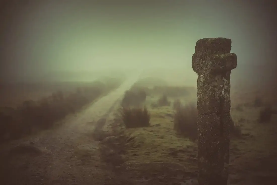 Nuns cross. Photograph by Glavind Strachan Photography
“This shaggy monster, heather-clad, with unctuous black fen rolling ten feet thick over its granite ribs, was his God.”
Also on Our DartmoorThree hut circles, Hookney Tor — Three hut circles, 6.4 m, 8 m and 6.4 m across, and a 2 m wide upright-stone wall between the two southern ones, on a south-west slope of Hookney Tor.
Know another Dartmoor place, tor or landmark we should include? Suggest a listing, it is free.
Suggest a listing