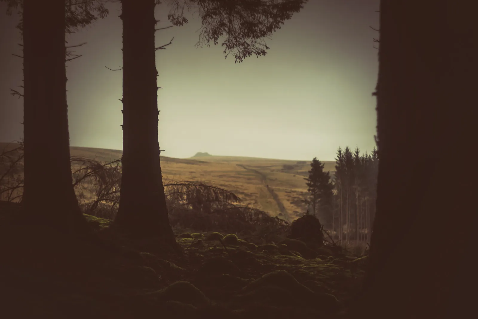
Historic England's scheduling record (list entry 1021344) describes three stone hut circles and a length of rubble walling on a gentle south-west-facing slope of Hookney Tor, above the valley of the West Webburn River. The northern hut is 6.4 metres across inside, ringed by an earthwork bank 1.6 metres wide with the odd stone showing, up to 0.7 metres high. The central hut is a platform 8 metres across with a single edge-set slab on its west side. The southern hut is 6.4 metres across inside, marked on the east by a single upright-stone wall 0.8 metres wide and up to 0.8 metres high, and its west part is a scarp 2 metres wide and up to 0.8 metres high. The boundary wall between the two southern huts is of upright stones, up to 2 metres wide and 0.6 metres high. It lies in the parish of North Bovey, about 0.8 km west of Hameldown Tor and 1.4 km north of Challacombe.
Dartefacts is a database of Dartmoor sites with far more close-up detail than we can show here, and it is the best place to go deeper. Dartefacts is free to use, and nobody has to pay to look things up. If you want more, a yearly subscription adds 10-figure grid references, map zoom down to 1:25,000 and lists to tick off the places you have visited, and it helps keep the site going. We would encourage you to subscribe.
Our Dartmoor doesn't track you and runs no adverts. We use one cookie to make the
site work, and some pages load videos, maps or optional social media panels from other sites, the panels only if you choose to show them.