Dartmoor quiz
Which spot on Dartmoor has also been known as "the Devil's Dome"?


← Browse Cairns & Barrows · Browse the directory

Grid ref: SX 5532 7484 Find this on the Map Reference Finder
On walking routes: Abbot's Way
Main image: Photo: Herbythyme, Wikimedia Commons
A bank 1.3 m wide and 0.3 m high surrounds a circular inner area 6.4 m across, on a gentle north-west-facing slope above the River Walkham. It lies among a large number of ritual monuments of similar date, one of the densest concentrations on the moor. R. H. Worth first read it as a hut circle, but archaeologists now think it much more likely to be a ring cairn.
Contact us if you have information about this listing
Dartefacts is a database of Dartmoor sites with far more close-up detail than we can show here, and it is the best place to go deeper. Dartefacts is free to use, and nobody has to pay to look things up. If you want more, a yearly subscription adds 10-figure grid references, map zoom down to 1:25,000 and lists to tick off the places you have visited, and it helps keep the site going. We would encourage you to subscribe.
Be the first to share a thought about Ring cairn near Merrivale Bridge.
Share a thought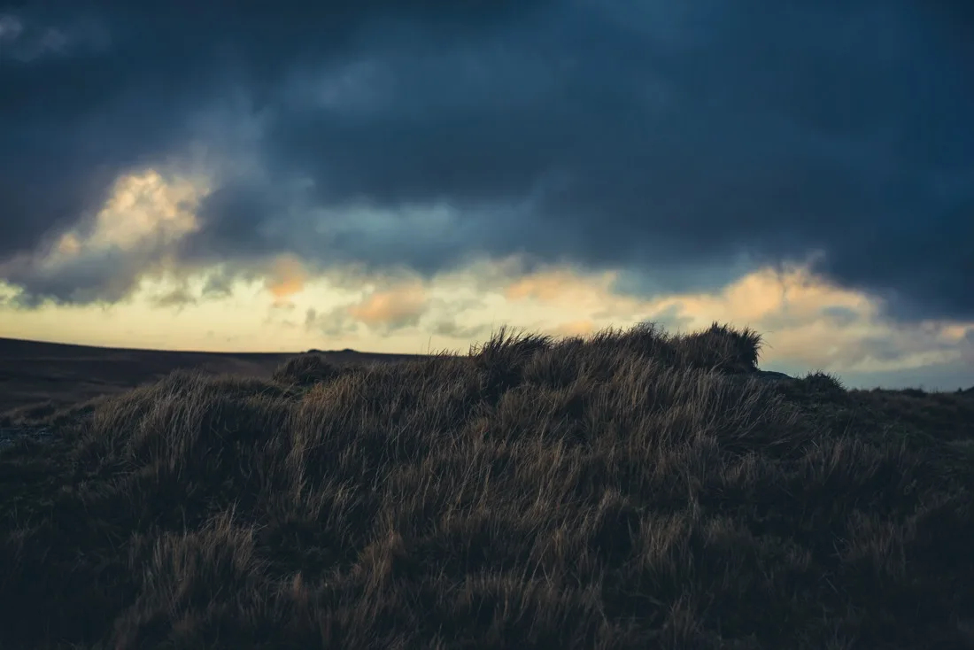 Photograph by Glavind Strachan Photography
“Kill a robin or a wren, Never prosper, boy or man.”
Also on Our DartmoorBowl barrow on Galford Down, near Westdown Pool — A bowl barrow 21.3 m across and 0.6 m high on the summit of Galford Down with wide views, ringed by a mostly buried ditch 2.7 m wide.
Which spot on Dartmoor has also been known as "the Devil's Dome"?
Know another Dartmoor place, tor or landmark we should include? Suggest a listing, it is free.
Suggest a listing