

← Browse Dartmoor Walking Routes · Browse the directory
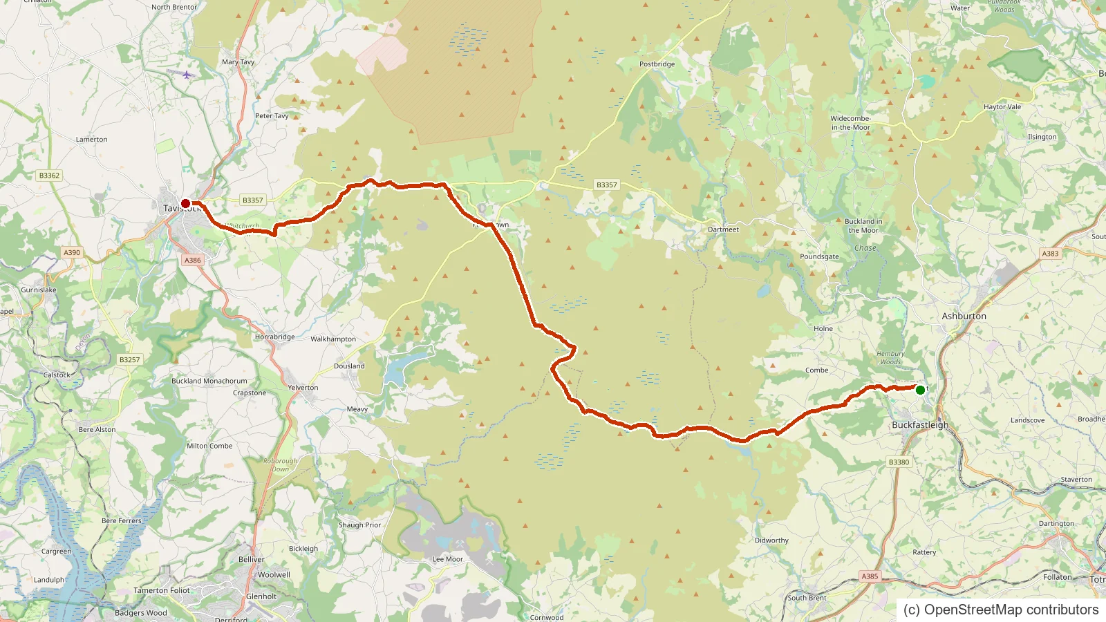
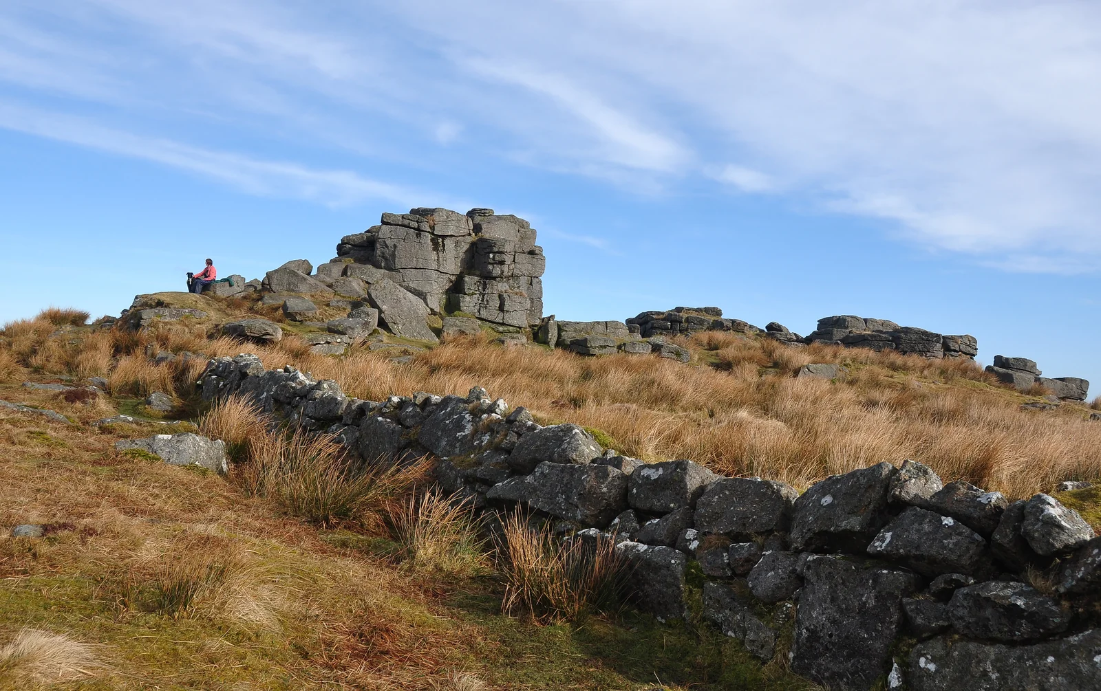
The Abbot's Way crosses the remote high ground of southern Dartmoor and is said to have linked the medieval abbeys of Buckfast, Buckland and Tavistock, though the exact line is debated. There is little waymarking and few landmarks, so it is a serious open-moorland walk best attempted with map, compass and settled weather.
Route data © OpenStreetMap contributors (ODbL); mapped from OSM relation 7225044.
Suggest an edit to this listing
- About 35.3 km
- Starts near Buckfastleigh, Devon
- A GPS track to follow (it may not include turn-by-turn waypoints)
Take this route with you
Download the GPX file, then open it in your favourite walking app or website:
Route data © OpenStreetMap contributors (ODbL). Rendered by Our Dartmoor.
Thoughts
Be the first to share a thought about Abbot's Way.
Share a thoughtKnow another Dartmoor place, tor or landmark we should include? Suggest a listing, it is free.
Suggest a listing