
Tors & Landmarks
Ryder's Hill
The highest point of southern Dartmoor, a broad hill with two standing stones, a low cairn and a triangulation pillar on its summit.


Showing listings tagged “Triangulation Pillar” Show all listings
The highest point of southern Dartmoor, a broad hill with two standing stones, a low cairn and a triangulation pillar on its summit.

A hill south of Chagford, 390 m, with views over the tors of eastern Dartmoor, several rock basins on its summit and a path up from the south side.
Old books sometimes spell "Sittaford Tor" differently. Which of these is one of those spellings?
A large dome-shaped hill on the north-eastern side of Dartmoor, the first bound named in the 1240 Perambulation of the Forest.

A frontier height on the eastern edge of Dartmoor, two miles west of Haytor, with three large cairns, a triangulation pillar and the Nutcracker logan stone nearby.

A tor above Princetown, 517 m, topped by a TV transmitting station and mast and named in the Perambulation of 1240 as a Forest bound.

A small, isolated tor with a trig point on East Down, east of the main bulk of Dartmoor, with the Whooping Rock nearby.
Tor at 442 m on Dartmoor's western edge, made of dolerite and altered slate, not granite, with a cairn cemetery on the summit and hut circles below.

A tor on the Hamel Down ridge south of Grimspound, with a trig point at 529 m and wide views, on the route of the Two Moors Way.

A conspicuous tor near Postbridge in the middle of the moor, called the true centre of Dartmoor by Baring-Gould, with kistvaens on its slopes and a trig point.
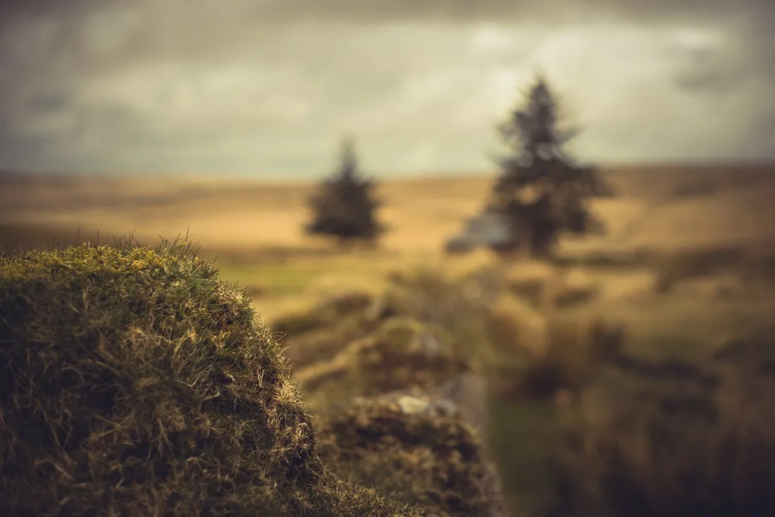 Photograph by Glavind Strachan Photography
“Away to the eastward we could see the dreary brown ridges in the neighbourhood of Cranmere Pool, over which a deep stillness was brooding, and a lifeless aspect seemed to rest.”
Also on Our DartmoorCairn near Scout Hut, Eastern Tor — A grass and bilberry covered cairn 5 m across and 0.5 m high with a slight hollow on its south side, east of Scout Hut and north of Eastern Tor.
