

← Browse Tors & Landmarks · Browse the directory
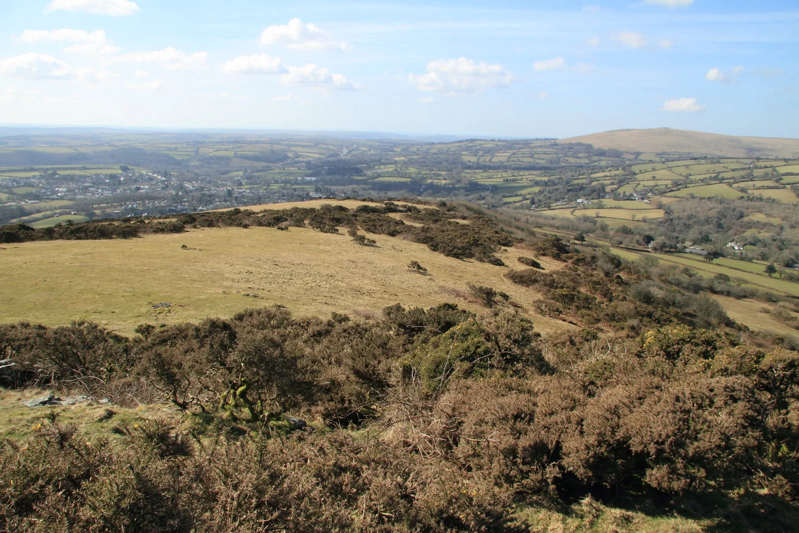
Brent Hill
South Brent, Devon
Grid ref: SX 7030 6170 Find this on the Map Reference Finder
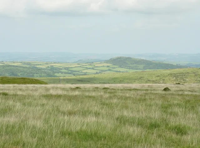
Main image: Brent Hill. Photograph: Guy Wareham.
- Grid reference: SX 703 617
- Height: 311 m
- Parish: South Brent
- Rock: metamorphic, not granite
- Other names: Chapel Hill (tithe map); Brent Beacon (Benjamin Donn's map of Devon, 1765); South Brent Tor (J. Ll. W. Page, 1895)
- Trig point: Ordnance Survey trig pillar "Brent Hill", SX 70313 61698, 311 m, flush bracket S3430; a secondary station of the retriangulation of Great Britain, its position computed in 1947
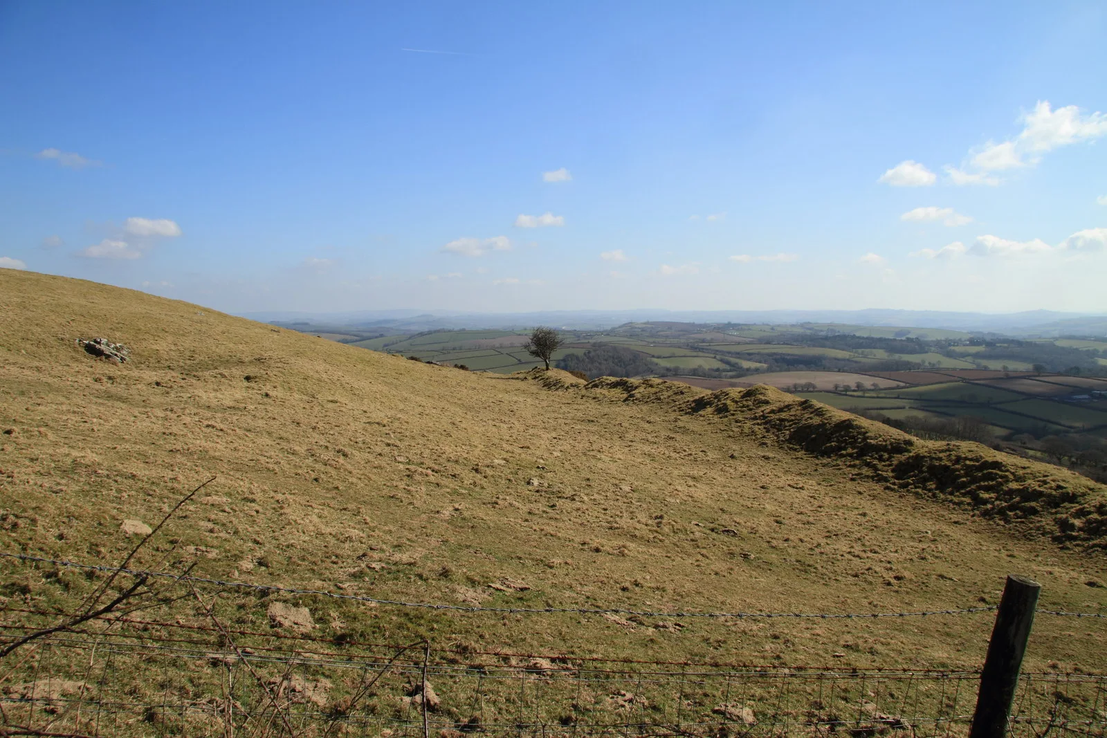
Brent Hill rises steeply on the south-east edge of the moor, above South Brent and the Avon. The top is occupied by an Iron Age hillfort (Brent Hill Hillfort), and near the summit are the ruins of St Michael's chapel. The Book of South Brent (2005) records that wooden crosses have been carried to the summit rocks every Good Friday since 1972, when the Reverend Michael Malsom began the custom, except in 2001, the year of foot and mouth.
Unlike most Dartmoor summits, the crags here are not granite. There are three main ones around the top. The southernmost carries a curiously balanced boulder (SX 7026 6166), the grandest stands just below the trig pillar with a rock face looking towards South Brent (SX 7030 6170), and a third lies to the north (SX 7033 6174). From the trig pillar Hameldown, Rippon Tor and Haytor Rocks can be seen to the north, and Ugborough Beacon to the south-west.
A bridleway climbs from the hamlet of Lutton to the open moorland on the hill. The chapel ruins and the trig pillar are on private land and can be seen from the open access land nearby.
This is one of the places in Dartmoor Trig Points, a guide to the Ordnance Survey trig pillars on and around the moor.
Sources: Wikipedia, Brent Hill; Tors of Dartmoor, Brent Hill Summit Tor (citing G. Wall, The Book of South Brent, 2005, and T. Jenkinson, Dartmoor Magazine 149, 2023); TrigpointingUK, Brent Hill.
Contact us if you have information about this listing
Go deeper with Dartefacts
Dartefacts is a database of Dartmoor sites with far more close-up detail than we can show here, and it is the best place to go deeper. Dartefacts is free to use, and nobody has to pay to look things up. If you want more, a yearly subscription adds 10-figure grid references, map zoom down to 1:25,000 and lists to tick off the places you have visited, and it helps keep the site going. We would encourage you to subscribe.
Official record
Explore the area
Thoughts
Be the first to share a thought about Brent Hill.
Share a thought Plate from A Hundred Years on Dartmoor, page 75, 1901
“In the howling wilderness about Cranmere Pool, where are no traces of human habitation, there lie the dead.”
Also on Our DartmoorHut circle settlement NW of Shovel Down — A Bronze Age dwelling circle etched into Dartmoor's granite landscape.
Know another Dartmoor place, tor or landmark we should include? Suggest a listing, it is free.
Suggest a listing