Old names: Three Barrow-tor, Threeburrow Tor, Three Burrows, Tryberie Boroughs, Triborough
Trig point: Ordnance Survey trig pillar "Three Barrows", SX 65326 62574, 461 m, flush bracket S1741; a primary station of the retriangulation of Great Britain, its position computed in 1937
Three Barrows is the highest ground on Ugborough Moor, on the southern edge of Dartmoor between the Erme and the Avon. It takes its name from the three great stone cairns on its crown. They are Bronze Age burial mounds; Historic England records the largest as 20 metres across and 1.5 metres high, and it is said to be the largest cairn on Dartmoor. A reave, a prehistoric boundary bank, runs up to the largest cairn and still marks the boundary between the parishes of Ugborough and South Brent. See Cairns, Three Barrows and Large cairn on Three Barrows.
No bedrock shows on the summit, so it is not a tor in the strict sense, but a great mass of clitter on the western slope may be what is left of one, perhaps buried under the cairns. Henry Carrington, writing in 1828, called it Three Barrow-tor and said that in clear weather both Portland and the Lizard could be seen, with the South Hams, Plymouth and the Yealm spread below. Eric Hemery, in High Dartmoor (1983), adds that Cut Hill, far to the north, is visible from the top.
The trig pillar stands beside the cairns. A weathered Ordnance Survey benchmark is cut on a triangular rock a short way north-west of the largest cairn, at SX 65239 62686.
On 1 March 1944 a Vickers Wellington on a delivery flight flew into the hillside just north-east of the central barrow, killing all four crew: see Wellington crash site, Three Barrows.
This is one of the places in Dartmoor Trig Points, a guide to the Ordnance Survey trig pillars on and around the moor.
Sources: Tors of Dartmoor, Three Barrows Tor; Historic England list entry 1012773; H. E. Carrington, The Plymouth and Devonport Guide (1828); E. Hemery, High Dartmoor (1983); TrigpointingUK, Three Barrows.
Dartefacts is a database of Dartmoor sites with far more close-up detail than we can show here, and it is the best place to go deeper. Dartefacts is free to use, and nobody has to pay to look things up. If you want more, a yearly subscription adds 10-figure grid references, map zoom down to 1:25,000 and lists to tick off the places you have visited, and it helps keep the site going. We would encourage you to subscribe.
“My dear," said madame to her husband, "you are not eating." "No, precious!" he replied. "I have lost my appetite." "But," retorted she, "the moor gives one." "Not to me," he responded feebly. "I don't feel well. The moor has taken mine away.”
Also on Our DartmoorThe Legend of Bowerman's Nose — A granite outcrop near Manaton said to be a hunter turned to stone for hunting on the Sabbath.
Dartmoor quizPhotograph by Glavind Strachan Photography
Which Dartmoor stone row is this?
Know another Dartmoor place, tor or landmark we should include? Suggest a listing, it is free.
Our Dartmoor doesn't track you and runs no adverts. We use one cookie to make the
site work, and some pages load videos, maps or optional social media panels from other sites, the panels only if you choose to show them.
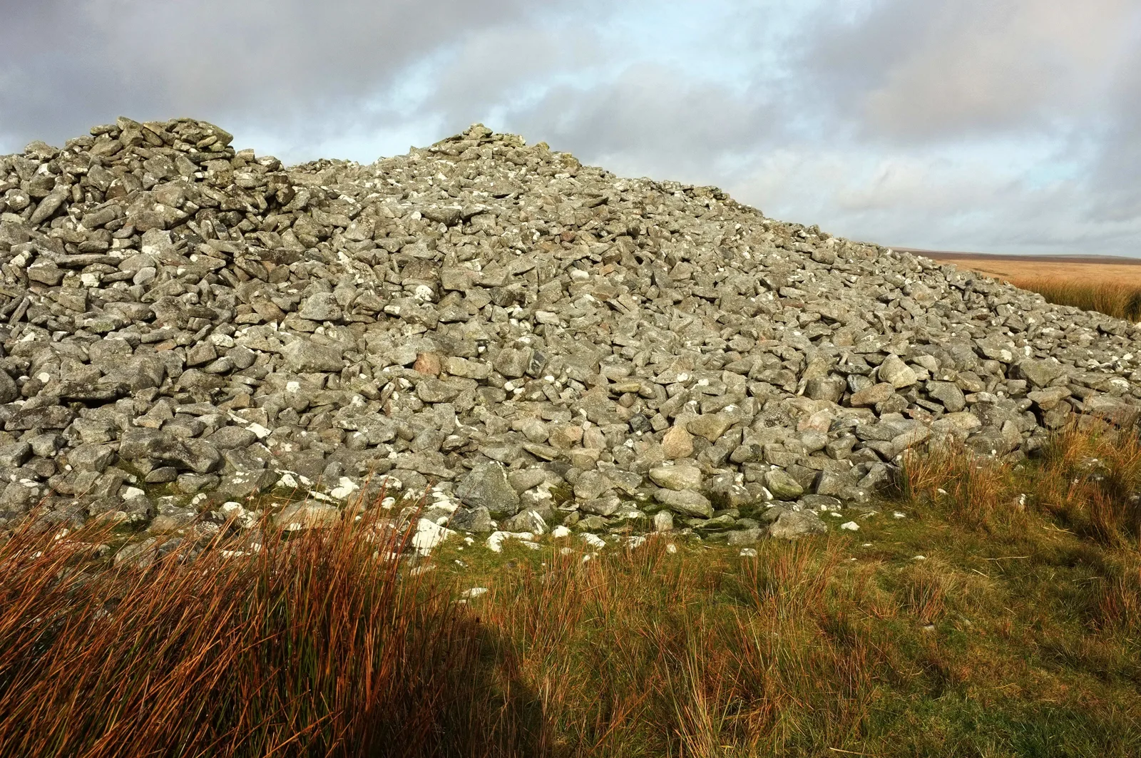
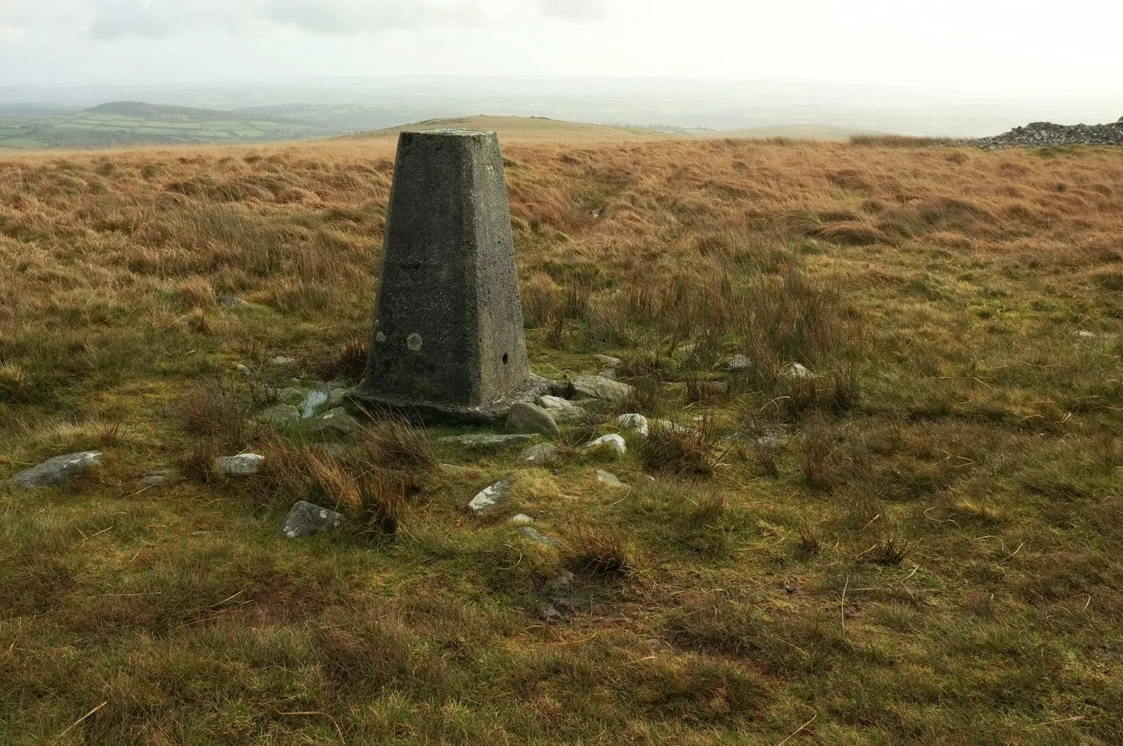
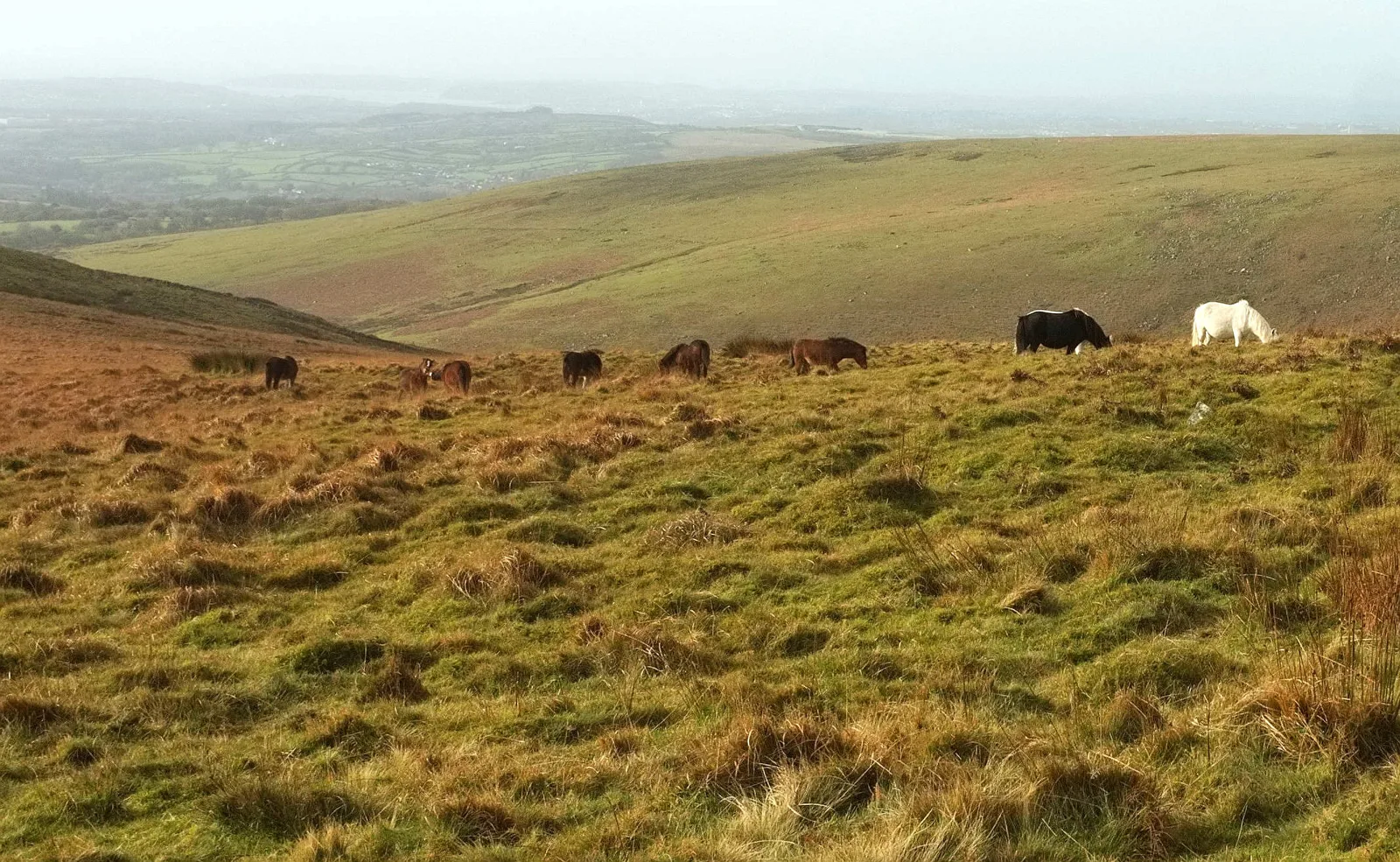
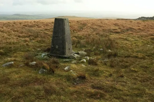
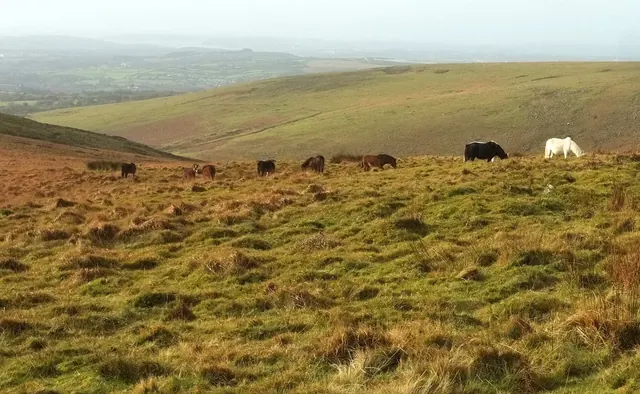


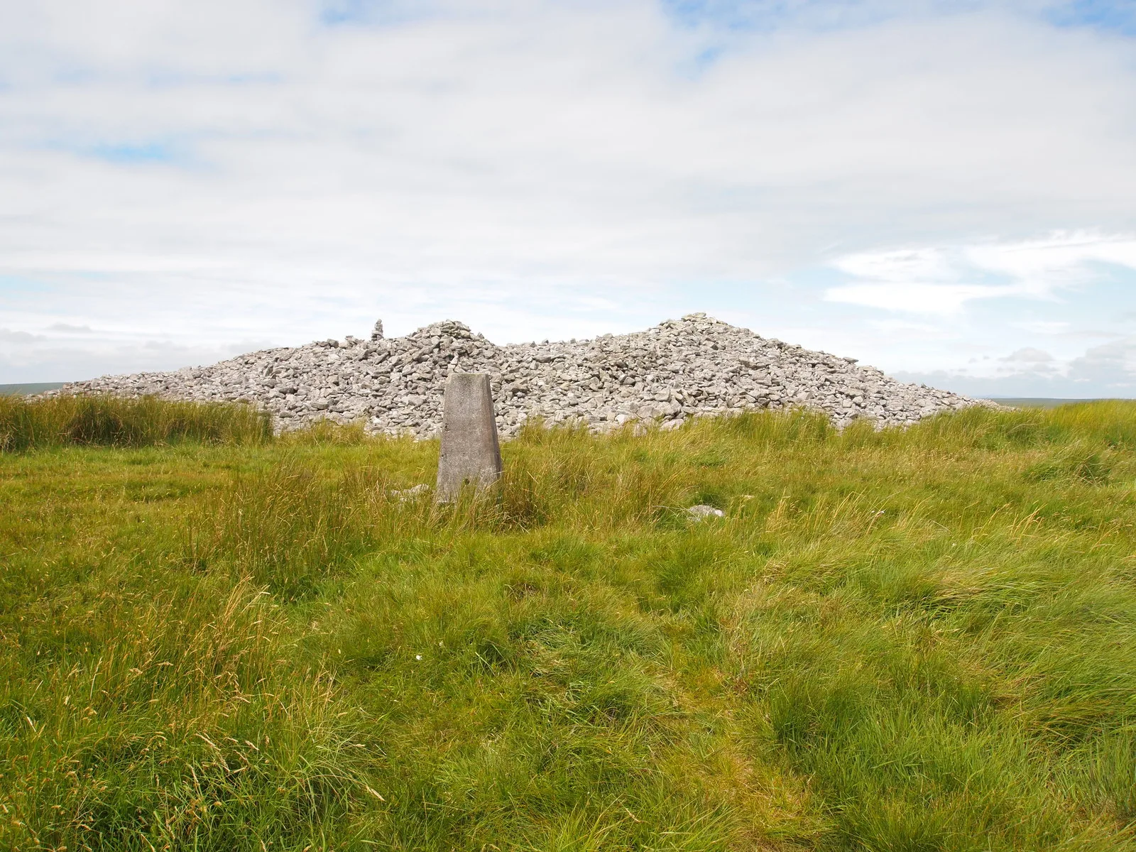
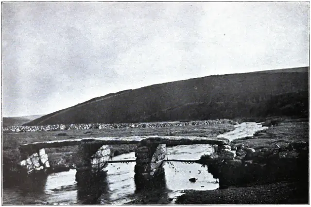 Plate from Dartmoor Illustrated, page 130, 1900
