Dartmoor quiz
What is the height of the tower at St Andrew Church in Moretonhampstead?


← Browse Rivers & Waterways · Browse the directory
Lydford, Devon
Grid ref: SX 5340 8457 Find this on the Map Reference Finder
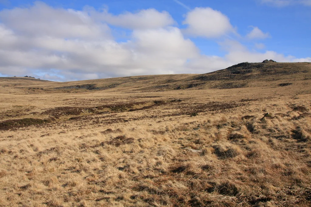
Main image: The moor at Wallabrook Head below Sharp Tor, where the brook begins among old mine workings. Photo: Guy Wareham (CC BY-SA 2.0) via Wikimedia Commons
This is the shortest of the four Dartmoor streams called Walla Brook. It rises at Wallabrook Head, just south of Doe Tor, and runs west for about a mile across Doetor Common to the River Lyd. William Crossing places the meeting with the Lyd near Doe Tor Gate Ford, and in 1902 he described Doe Tor as standing between the Doe Tor Brook and the Wallabrook, both tributaries of the Lyd.
It is one of the bounds in the perambulation of the forest that Crossing quotes in his Guide to Dartmoor: the line goes up the Walla Brook to a bond mark in Doe Tor Bottom, and from Walla Brook Head to a cairn between Hare Tor and Sharp Tor.
It is not the Walla Brook that rises near the Warren House Inn and runs south to the East Dart (Babeny), nor North Walla Brook, nor the one near Hangingstone Hill that joins the North Teign. To tell them apart, say which river each joins.
This is a location on Dartmoor that has a namesake. Read more about this: Dartmoor Places With the Same Name
Be the first to share a thought about Walla Brook (Doe Tor, River Lyd).
Share a thoughtWhat is the height of the tower at St Andrew Church in Moretonhampstead?
Know another Dartmoor place, tor or landmark we should include? Suggest a listing, it is free.
Suggest a listing