

← Browse Tors & Landmarks · Browse the directory
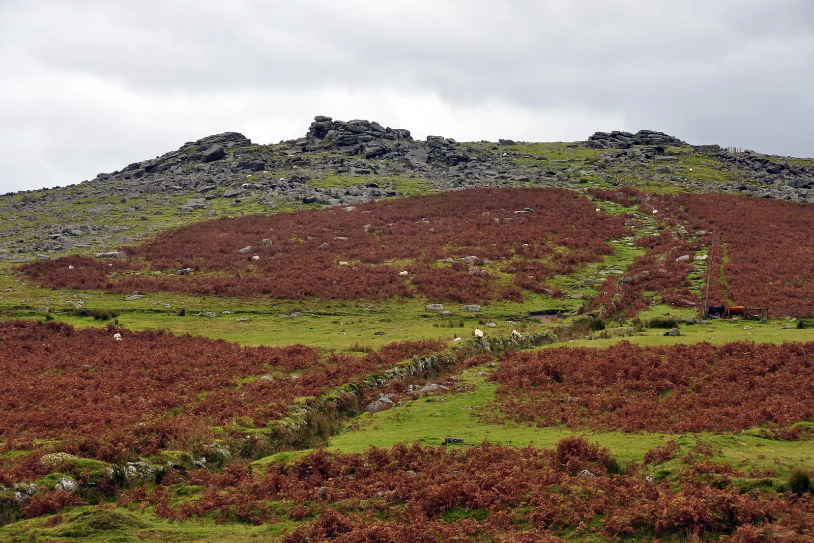
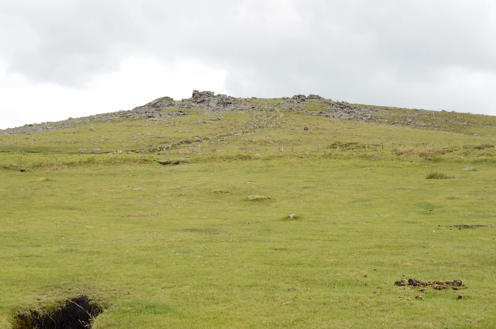
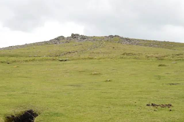
Gutter Tor
Sheepstor, Yelverton, Devon
Grid ref: SX 5752 6674 Find this on the Map Reference Finder
Main image: Gutter Tor. Photograph: Nilfanion.
- Grid reference: SX 5779 6686
- Height: 347 m
- Parish: Sheepstor
- Old names: Gotterknap Tor, Gotetorre, Gut Tor, Cut Tor
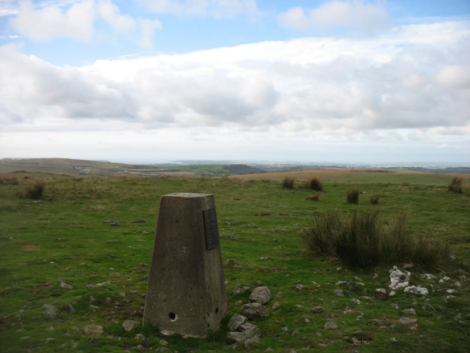
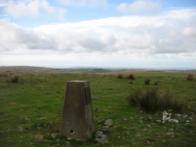
- Trig point: Ordnance Survey trig pillar "Ringmoor Down", SX 57526 66743, 351 m, flush bracket S3409; a third-order station of the retriangulation of Great Britain, its position computed in 1948
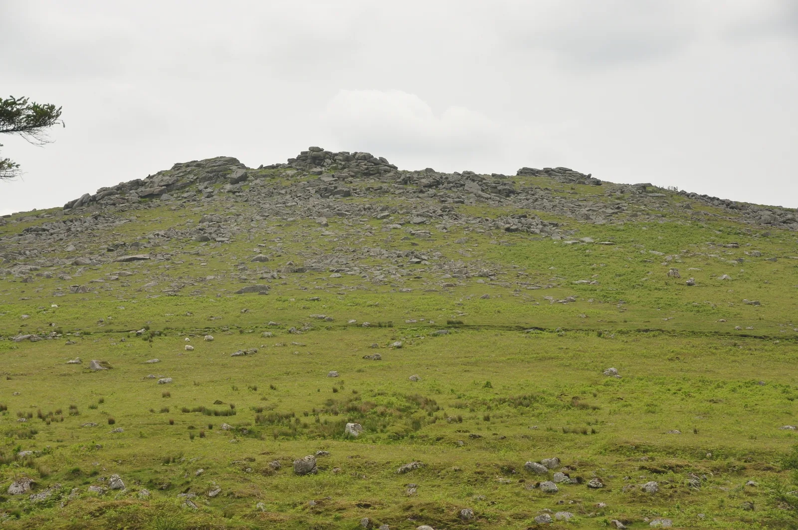
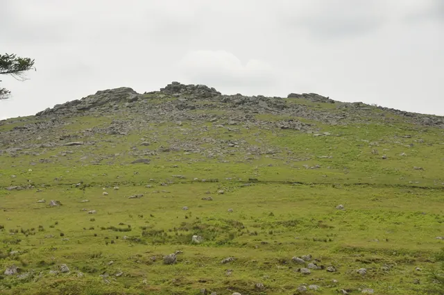
Gutter Tor stands above the Plym valley, close to the small car park by the Scout hut. It has three main outcrops. Below it to the south are the ruins of Ditsworthy Warren House, which was used as a location for Steven Spielberg's film War Horse.
Eric Hemery offered two explanations of the name: seen from some angles the tor looks like a great cleft or cut, so Gutter may be a corruption of Cut Tor; or it may come from gutter, the south Dartmoor word for a leat, since the tinners led water to Gutter Mire below.
On top of the tor is a large rock basin with a drainage slot. R. Hansford Worth measured it at about 34 inches long, 22 inches at its widest and 10 inches deep in the centre, and noted that it is hard to tell where the basin ends and the channel begins.
The slopes are full of prehistoric remains: an enclosure with three hut circles just south of the outcrops (Gutter Tor enclosure and three hut circles), hut settlements on the south-west slope (Gutter Tor south-west enclosed hut settlement, Gutter Tor south-west hut circle settlement), a cairn and a cist to the south-west (Cairn south-west of Gutter Tor, Cist south-west of Gutter Tor), a cairn with a cist to the north (Cairn with a cist north of Gutter Tor) and the Eylesbarrow reave on the north-west slope (Eylesbarrow reave: the Gutter Tor dog-leg). An unfinished granite cross, Gutter Tor Cross, lies beside the path up the tor.
The trig pillar stands on higher ground about 300 m west-south-west of the outcrops. The Ordnance Survey called this pillar Ringmoor Down.
This is one of the places in Dartmoor Trig Points, a guide to the Ordnance Survey trig pillars on and around the moor.
Sources: Tors of Dartmoor, Gutter Tor; E. Hemery, High Dartmoor (1983); R. Hansford Worth, Worth's Dartmoor; Historic England records via the listings linked here; TrigpointingUK, Ringmoor Down.
Contact us if you have information about this listing


Go deeper with Dartefacts
Dartefacts is a database of Dartmoor sites with far more close-up detail than we can show here, and it is the best place to go deeper. Dartefacts is free to use, and nobody has to pay to look things up. If you want more, a yearly subscription adds 10-figure grid references, map zoom down to 1:25,000 and lists to tick off the places you have visited, and it helps keep the site going. We would encourage you to subscribe.
Official record
Explore the area
Thoughts
Be the first to share a thought about Gutter Tor.
Share a thought Photograph by Glavind Strachan Photography
“Fifty years ago Lydford was one of the most out-of-the-world and wild spots in England.”
Also on Our DartmoorEnclosure and two hut circles on Eastern Tor — An irregular enclosure of about 0.3 hectare on the south-east slope of Eastern Tor with two free-standing hut circles, each 8 m across with double-faced walls.
Know another Dartmoor place, tor or landmark we should include? Suggest a listing, it is free.
Suggest a listing