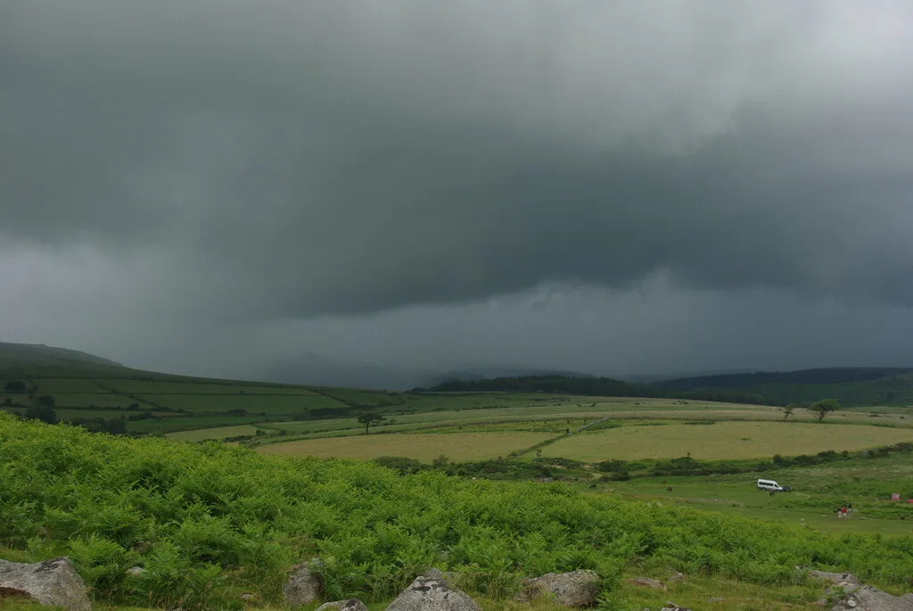
Main image: Keeping an eye on the weather, as a squally shower approaches - 22 metres from location - image by Pete Cruse (CC BY-SA 2.0), via Wikimedia Commons
Historic England's scheduling record (list entry 1012224) describes an enclosure with hut circles on flattish ground just south of the outcrops of Gutter Tor. It is sub-rectangular, 80 metres by 50 metres, bounded by a stone-faced bank of earth and stone 1.5 to 4 metres wide and 0.3 metres high, with a possible entrance near the east corner. Three hut circles lie inside, two attached to the wall and one near the middle, with possible traces of four more. The huts are 5 to 10 metres across, with walls up to 1 metre high and up to 2 metres thick, faced on both sides with stone slabs. The central hut has an entrance in its south-west wall. A corn ditch and a modern fence along the same line cross the site, and the fence is not part of the scheduling. It lies in the parish of Sheepstor, about 0.8 km west of Eastern Tor and 1.9 km south-east of Sheepstor.
Dartefacts is a database of Dartmoor sites with far more close-up detail than we can show here, and it is the best place to go deeper. Dartefacts is free to use, and nobody has to pay to look things up. If you want more, a yearly subscription adds 10-figure grid references, map zoom down to 1:25,000 and lists to tick off the places you have visited, and it helps keep the site going. We would encourage you to subscribe.
Our Dartmoor doesn't track you and runs no adverts. We use one cookie to make the
site work, and some pages load videos, maps or optional social media panels from other sites, the panels only if you choose to show them.