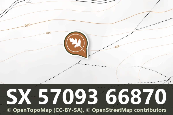
Historic England's scheduling record (list entry 1011977) describes part of Eylesbarrow Reave, a watershed reave that divides the Plym catchment from the Meavy and runs from the Plym at Cadworthy Wood to the summit of Eylesbarrow, about 6 kilometres. This section runs across a spur on the 320 metre contour and down the north-east slope of Ringmoor Down and Gutter Tor for about 700 metres, a bank of stone and earth up to 0.75 metres high and 3 metres wide. Two cairns lie right on its south side. It lies in the parish of Sheepstor, about 1.3 km north of Legis Tor and 1.4 km south-east of Sheepstor.
Historic England sets the Dartmoor reaves in a large system of land division begun about 1700 BC, simple banks of stone and earth marking out territories, some of them tens of kilometres across.
Sources: Historic England list entry 1011977, which cites Fleming, The Dartmoor Reaves (1988), and the Devon County Sites and Monuments Register SX56NE-278 (1990).
Period: Bronze Age
Status: Scheduled monument (Historic England list entry 1011977)
Grid reference: SX 5709 6687 (approximate, from the listing's coordinates)
Dartefacts is a database of Dartmoor sites with far more close-up detail than we can show here, and it is the best place to go deeper. Dartefacts is free to use, and nobody has to pay to look things up. If you want more, a yearly subscription adds 10-figure grid references, map zoom down to 1:25,000 and lists to tick off the places you have visited, and it helps keep the site going. We would encourage you to subscribe.
Our Dartmoor doesn't track you and runs no adverts. We use one cookie to make the
site work, and some pages load videos, maps or optional social media panels from other sites, the panels only if you choose to show them.