
Reaves & Field Systems
A near reave on Hingston Hill
A 350-metre length of Bronze Age reave, a boundary wall built across the open moorland northwest of Combshead Tor.


A 350-metre length of Bronze Age reave, a boundary wall built across the open moorland northwest of Combshead Tor.
Bronze Age settlement with field system, cairn and enclosed structures on the open moor near Cholwich.

Prehistoric settlement and field system west of Cox Tor, with Bronze Age origins and later medieval reuse.

Prehistoric settlements and organised field boundaries on the high moor, spanning several centuries of Bronze Age and later use.

Bronze Age and later field systems on Throwleigh Common and Kennon Hill.

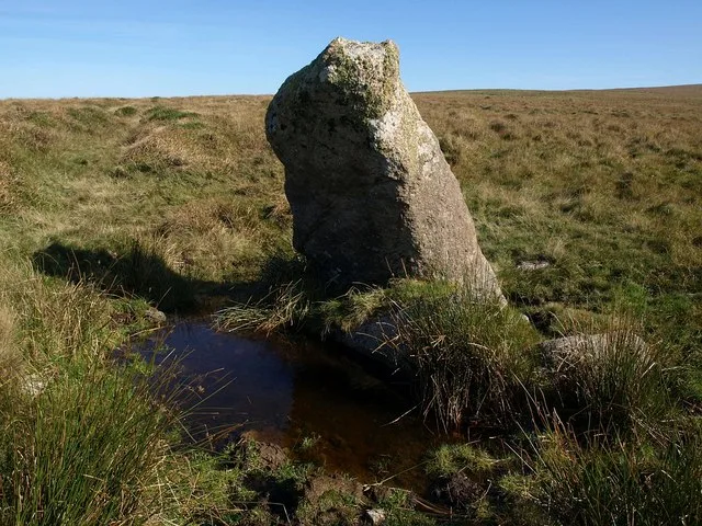
A Bronze Age field boundary and livestock barrier, one of many reaves that pattern the open moor.

Layered settlement landscape spanning prehistoric cairns, medieval farmstead, and tinworks remains north of Gibby Coombe.
Bronze Age stone hut circle settlement with nine round houses and later medieval shelters, south of North Hessary Tor.
