

← Browse Reaves & Field Systems · Browse the directory
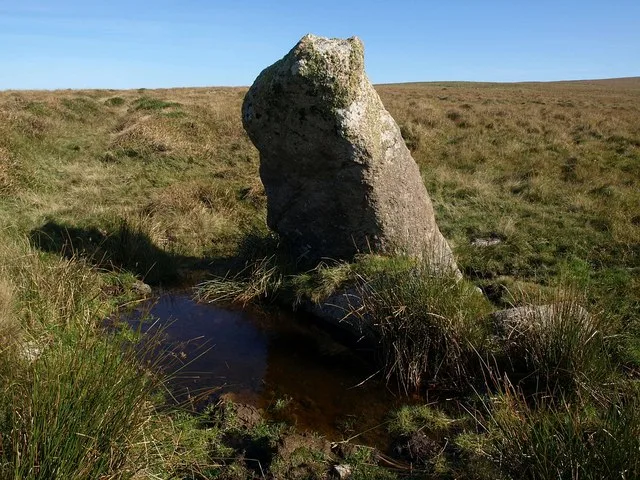
Main image: The Hanging Stone - 38 metres from location - image by Derek Harper (CC BY-SA 2.0), via Wikimedia Commons
- Period: Bronze Age
- Status: Scheduled monument (Historic England list entry 1010811)
- Grid reference: SX 5836 6373 (approximate, from the listing's coordinates)
The full official description is in the Historic England record linked above.
Contact us if you have information about this listing

Official record
Explore the area
Go deeper with Dartefacts
Dartefacts is a database of Dartmoor sites with far more close-up detail than we can show here, and it is the best place to go deeper. Dartefacts is free to use, and nobody has to pay to look things up. If you want more, a yearly subscription adds 10-figure grid references, map zoom down to 1:25,000 and lists to tick off the places you have visited, and it helps keep the site going. We would encourage you to subscribe.
Thoughts
Be the first to share a thought about Cross Dyke reave.
Share a thought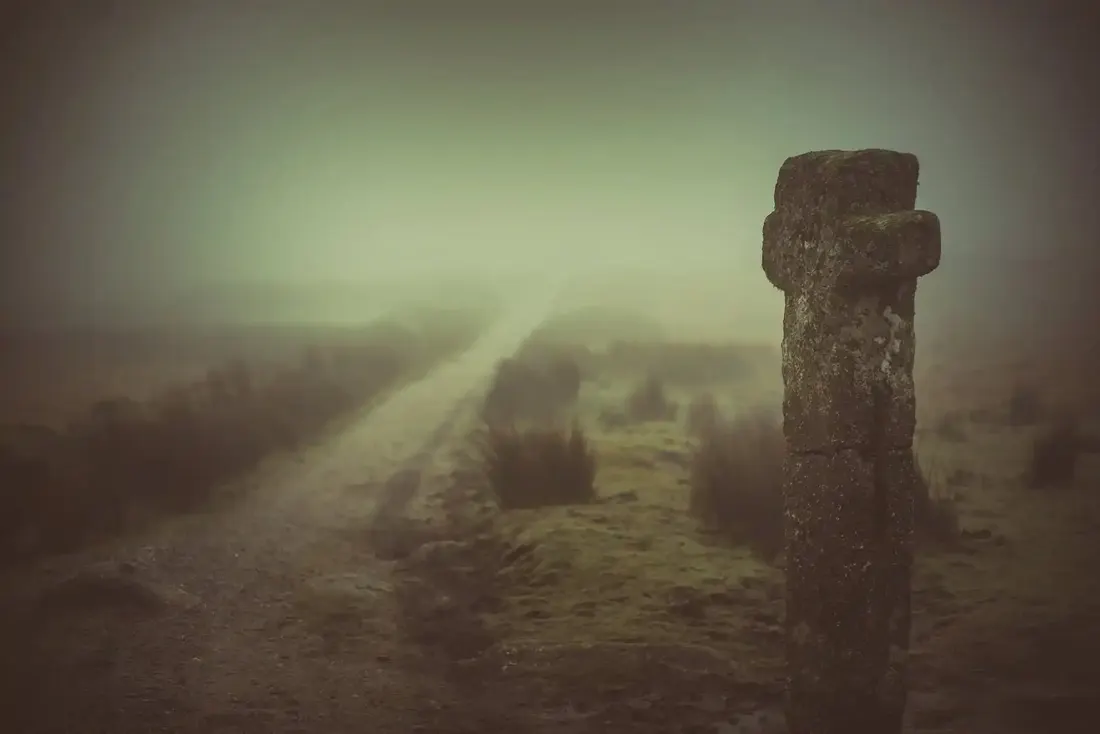 Nuns cross. Photograph by Glavind Strachan Photography
“March, he sits on his perch; April, he tunes his bill; May, he sings all day; June, he alters his tune, and July, away he do fly." So say the people.”
Also on Our DartmoorCivil War redoubt near East Linnacombe — A Civil War defensive earthwork on the open moor south east of East Linnacombe, built to command the landscape during the 17th century conflict.
Know another Dartmoor place, tor or landmark we should include? Suggest a listing, it is free.
Suggest a listing