

← Browse Reaves & Field Systems · Browse the directory
North Hessary Tor settlement: nine huts and later shelters
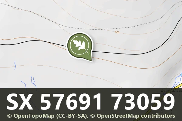
Grid ref: SX 5769 7305
On walking routes: Abbot's Way
Historic England's scheduling record (list entry 1011177) describes nine stone hut circles, four post-medieval shelters and a field boundary, part of an unenclosed hut circle settlement on the lower south-facing slope of North Hessary Tor, above the valley of the River Meavy. One hut is oval, another triangular and the rest circular, 3.1 to 8 metres across inside, averaging 5.5 metres. The walls are 0.4 to 1.1 metres high, averaging 0.71 metres. One hut has an annex, seven have visible doorways, five have later structures built into them and one is attached to a boundary wall, a bank 36 metres long, 2.5 metres wide and 0.3 metres high. It lies in the parish of Walkhampton, about 1.1 km north-west of Hart Tor and 1.4 km west of Princetown.
Three small stone shelters sit inside older huts and two more are attached to the outside. They are probably post-medieval temporary shelters made during military training or tin working nearby. A broken field system lies south-west of the monument but is not included, because too little of the fields can be seen to judge their character and extent.
Sources: Historic England list entry 1011177, which cites Fleming, The Dartmoor Reaves (1988), pages 72 to 82, Gibson, Single Monument Class Description: Stone Hut Circles (1987), the Devon County Sites and Monuments Register (SX57SE1) and fieldwork for the Monuments Protection Programme by S. Gerrard.
- Period: Bronze Age
- Status: Scheduled monument (Historic England list entry 1011177)
- Grid reference: SX 5769 7305 (approximate, from the listing's coordinates)
Historic England listed designation: Nine huts, five post-medieval shelters and a field boundary forming part of an unenclosed stone hut circle settlement 1180m south of North Hessary Tor
Contact us if you have information about this listing


Official record
Explore the area
Go deeper with Dartefacts
Dartefacts is a database of Dartmoor sites with far more close-up detail than we can show here, and it is the best place to go deeper. Dartefacts is free to use, and nobody has to pay to look things up. If you want more, a yearly subscription adds 10-figure grid references, map zoom down to 1:25,000 and lists to tick off the places you have visited, and it helps keep the site going. We would encourage you to subscribe.
More Dartmoor resources
Thoughts
Be the first to share a thought about North Hessary Tor settlement: nine huts and later shelters.
Share a thoughtKnow another Dartmoor place, tor or landmark we should include? Suggest a listing, it is free.
Suggest a listing