

← Browse Prehistoric Settlements · Browse the directory
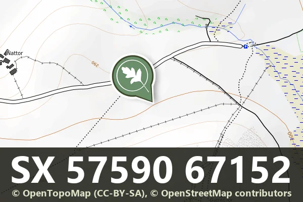
Historic England's scheduling record (list entry 1012032) describes a small enclosure on the northern slope of Gutter Tor, within 100 metres of the Eylesbarrow reave and a cairn with a cist. It is sub-rectangular, 11 metres by 10 metres, with a bank of earth and stone up to 0.5 metres high and 1 metre wide. There are possible entrances at the north-west and north-east corners, and a small pen 3 metres across is attached to the inside of the west wall just south of the entrance. It lies in the parish of Sheepstor, about 1.1 km north-west of Eastern Tor and 1.7 km east of Sheepstor.
Historic England describes enclosures like this as plots of land bounded by walls or banks that served as stock pens or protected areas for crops. Many date from the Bronze Age, about 2500 to 500 BC, though earlier and later ones exist.
Sources: Historic England list entry 1012032, which cites the Devon County Sites and Monuments Register SX56NE-010.
- Period: Bronze Age
- Status: Scheduled monument (Historic England list entry 1012032)
- Grid reference: SX 5759 6715 (approximate, from the listing's coordinates)
Contact us if you have information about this listing


Official record
Explore the area
Go deeper with Dartefacts
Dartefacts is a database of Dartmoor sites with far more close-up detail than we can show here, and it is the best place to go deeper. Dartefacts is free to use, and nobody has to pay to look things up. If you want more, a yearly subscription adds 10-figure grid references, map zoom down to 1:25,000 and lists to tick off the places you have visited, and it helps keep the site going. We would encourage you to subscribe.
More Dartmoor resources
Thoughts
Be the first to share a thought about Enclosure north-west of Gutter Tor.
Share a thoughtKnow another Dartmoor place, tor or landmark we should include? Suggest a listing, it is free.
Suggest a listing