Historic England's scheduling record (list entry 1010779) describes a cairn on the gentle north-west slope of Homerton Hill, overlooking the valley of the West Okement River. It is oval, 5.9 metres long, 3.9 metres wide and up to 0.5 metres high, and forms an outlying part of a cairnfield. Other cairns, an enclosure and a bank lie close by and are scheduled separately.
The record says the cairn may contain burials, but it belongs to a group that most likely represents stone cleared for cultivation.
Crossing describes Homerton Hill as rising from the right bank of the West Okement, above Meldon Gorge.
Sources: Historic England list entry 1010779, which cites the Devon County Sites and Monuments Register (SX59SE58, 1982) and fieldwork by S. Gerrard for the Monuments Protection Programme. The Homerton Hill sentence is from Crossing, A Hundred Years on Dartmoor (1902).
Period: Bronze Age
Status: Scheduled monument (Historic England list entry 1010779)
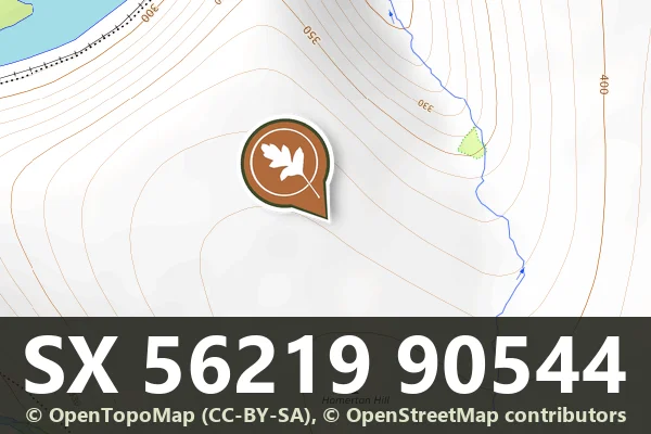
Grid reference: SX 5621 9054 (approximate, from the listing's coordinates)
Dartefacts is a database of Dartmoor sites with far more close-up detail than we can show here, and it is the best place to go deeper. Dartefacts is free to use, and nobody has to pay to look things up. If you want more, a yearly subscription adds 10-figure grid references, map zoom down to 1:25,000 and lists to tick off the places you have visited, and it helps keep the site going. We would encourage you to subscribe.
“An intense stillness reigned upon the moor, bringing vividly to our minds the fact that we were here far removed from any human beings.”
Also on Our DartmoorThree hut circles on Vogwell Down — Three hut circles in a line at the north end of Vogwell Down, the northern one on a levelled platform with two massive standing stones.
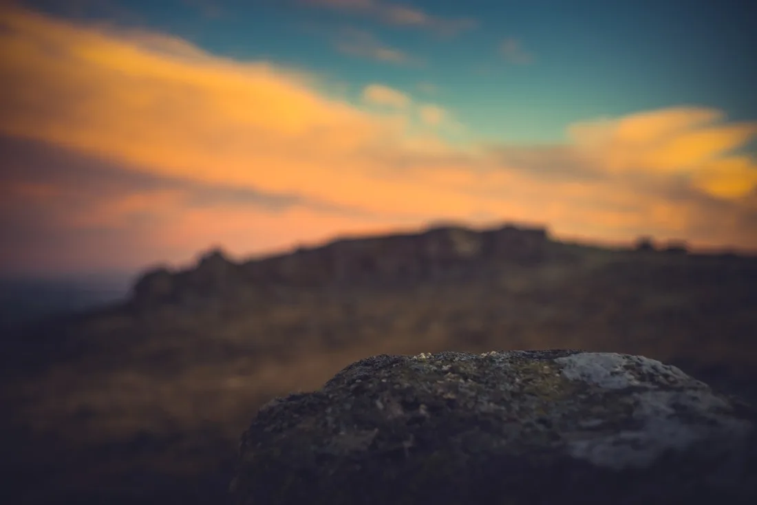
Dartmoor quizPhotograph by Glavind Strachan Photography
Which Dartmoor tor is this?
Know another Dartmoor place, tor or landmark we should include? Suggest a listing, it is free.
Our Dartmoor doesn't track you and runs no adverts. We use one cookie to make the
site work, and some pages load videos, maps or optional social media panels from other sites, the panels only if you choose to show them.


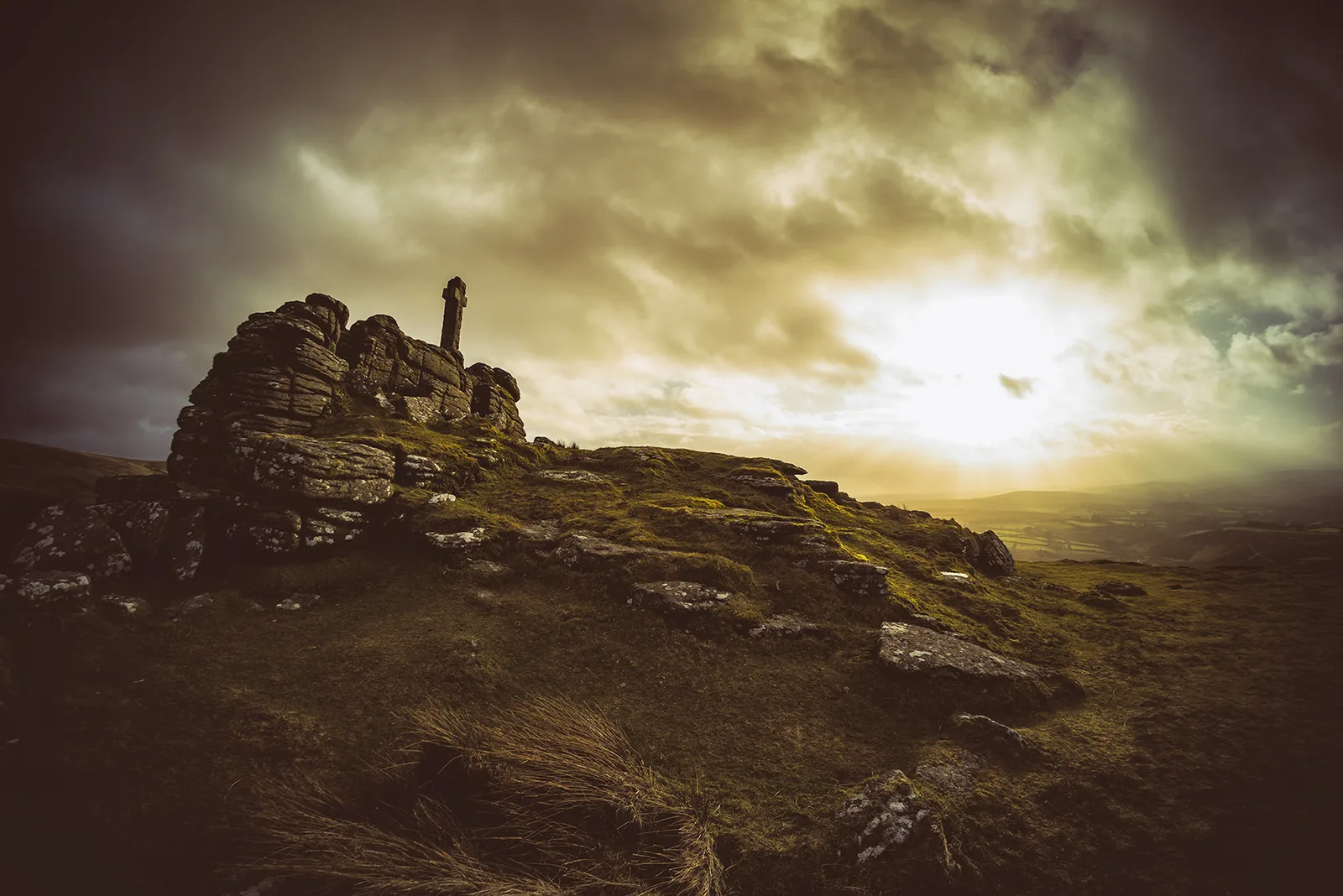


 Photograph by Glavind Strachan Photography
