

← Browse Hillforts & Earthworks · Browse the directory
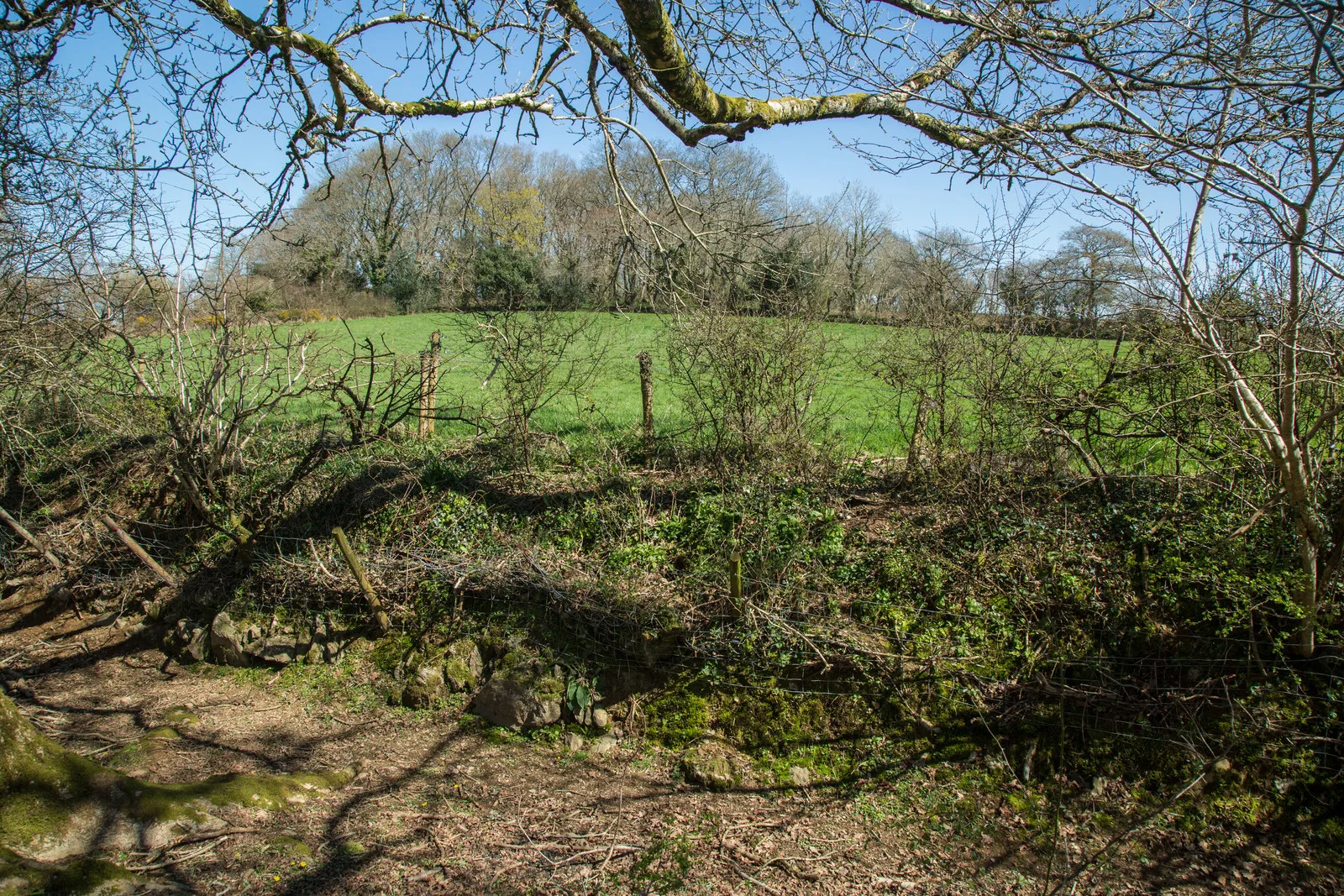
Berra Tor defended settlement
Grid ref: SX 4784 6918
On walking routes: West Devon Way
Main image: The Settlement - 52 metres from location - image by Guy Wareham (CC BY-SA 2.0), via Wikimedia Commons
Historic England's scheduling record (list entry 1002622) describes an Iron Age defended settlement on the summit of Berra Tor, a prominent ridge above the steep valley of the River Tavy, south of its junction with the Walkham. It is an oval enclosure with a rampart bank up to 17 metres wide and 1.7 metres high, surrounded by a partly buried outer ditch up to 5 metres wide and 0.8 metres deep. Parts of the rampart and ditch have been reused as field boundaries, which is why they survive unevenly. It lies in the parish of Buckland Monachorum, about 1.4 km north-west of Buckland Monachorum.
Sources: Historic England list entry 1002622 (updated 12 November 2015), which cites PastScape 437769.
- Period: Bronze Age
- Status: Scheduled monument (Historic England list entry 1002622)
- Grid reference: SX 4784 6918 (approximate, from the listing's coordinates)
Contact us if you have information about this listing


Official record
Explore the area
Go deeper with Dartefacts
Dartefacts is a database of Dartmoor sites with far more close-up detail than we can show here, and it is the best place to go deeper. Dartefacts is free to use, and nobody has to pay to look things up. If you want more, a yearly subscription adds 10-figure grid references, map zoom down to 1:25,000 and lists to tick off the places you have visited, and it helps keep the site going. We would encourage you to subscribe.
More Dartmoor resources
Thoughts
Be the first to share a thought about Berra Tor defended settlement.
Share a thoughtKnow another Dartmoor place, tor or landmark we should include? Suggest a listing, it is free.
Suggest a listing