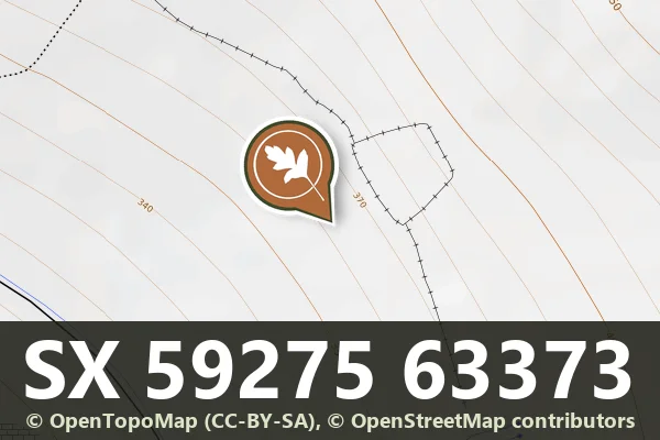
Cholwich Town Reave, Lee Moor, with enclosure and cairn
The Cholwich Town contour reave: 2.2 km along the 370 m contour from Rook Watershed Reave to beyond the Cross Dyke, marked midway by an enclosure with at least sixteen hut circles.
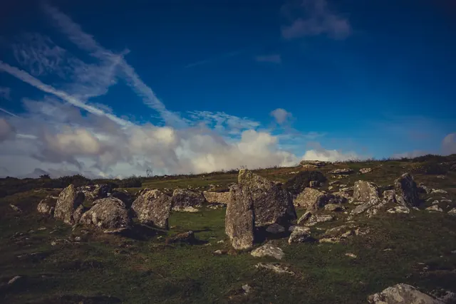
A circular enclosure 15.2 m across inside a bank up to 7.6 m wide and 1.5 m high, terraced into a steep south-west slope, perhaps the platform of a round house, north of Great Parford.
Prehistoric settlements and organised field boundaries on the high moor, spanning several centuries of Bronze Age and later use.
Coaxial fields on a single east-west axis either side of the East Dart at Hartland Tor, with a 150 m by 120 m enclosure of three huts and a settlement of four huts and five small enclosures, and ridge and furrow.
At least three coaxial fields of the Shapley Common field system on the north slope of Shapley Tor, with four parallel reaves running to a terminal reave.
Coaxial fields in Little Stannon Newtake with a settlement of at least five huts, a cairn dug in 1896 that held a charcoal pit with burnt bone and a flint flake, a cist cairn and four stones of a row.
Part of the Rippon Tor coaxial field system, with seven settlements (one of at least 15 huts, one of 13), ten cairns including a 28 m summit cairn 4 m high, millstone roughouts and a roughed-out Latin cross.
A medieval longhouse of two rooms, an outbuilding and a small farmyard on the lower slope of White Hill above the Willsworthy Brook.
The deserted medieval settlement at Blackaton: at least eleven buildings (six longhouses), a manor first recorded in 1229 with 13th-century pottery, owned by the Pipards and later the Southcotts, with a chapel recorded in the 18th century.