Cairns & Barrows
Leawood Plantation barrow
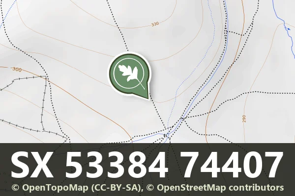
An oval barrow 46 m by 25 m and 1.2 m high on the summit of a ridge between the Rivers Lew and Lyd.

An oval barrow 46 m by 25 m and 1.2 m high on the summit of a ridge between the Rivers Lew and Lyd.

The northern edge of a livestock enclosure 600 m by 440 m with a funnelled entrance 50 m across, and seven hut circles at the entrance, four dug in 1893.
A 290-metre stretch of Bronze Age reave forming part of an ancient field system on Whitchurch Common.

A long cairn 36 m by 12 m and up to 0.6 m high on a south-east slope east of White Tor, stony at both ends with a kerb on the south side.

Bronze Age cairns and medieval farmstead within a reave system on Dartmoor.

Layered settlement landscape spanning prehistoric cairns, medieval farmstead, and tinworks remains north of Gibby Coombe.

Remains of a medieval rural settlement on the eastern slopes of Dartmoor, now visible as earthwork features across open moorland.

A heather-covered cairn 9 m across and 0.6 m high with a central hollow, within 100 m of several enclosures with hut circles on Giant's Hill.

A grassy cairn 12.5 m across and 0.4 m high with a central hollow, immediately south of the Eylesbarrow reave, near a stone row, other cairns and an enclosure.
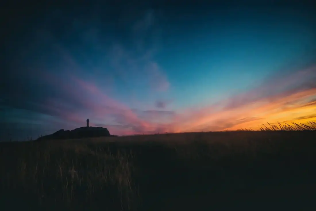 Sunset at Brat Tor. Photograph by Glavind Strachan Photography
“In Peter Tavy, too, may be seen " the spinners and knitters in the sun ; " and the very old and the very young are often seen together side by side ; and girls with their pitchers filling them with water from the little channels and rivulets that abound throughout the village. These present ...”
Also on Our DartmoorRound cairn near Longstone Hill — A round cairn 13 m across on the lower north-west slope of Yes Tor, the easternmost outlier of the Longstone Hill cairn cluster, with shell hollows from military training.