Cairns & Barrows
Cairn near Higher Hartor Tor
Bronze Age cairn on the moorland south west of Higher Hartor Tor, a scheduled monument and marker of ancient settlement.

Bronze Age cairn on the moorland south west of Higher Hartor Tor, a scheduled monument and marker of ancient settlement.

A cairn 20 m across and 1 m high of small stones and earth, damaged by the farm enclosure, south-west of Nattor Farm, 75 m north-west of the Eylesbarrow reave.
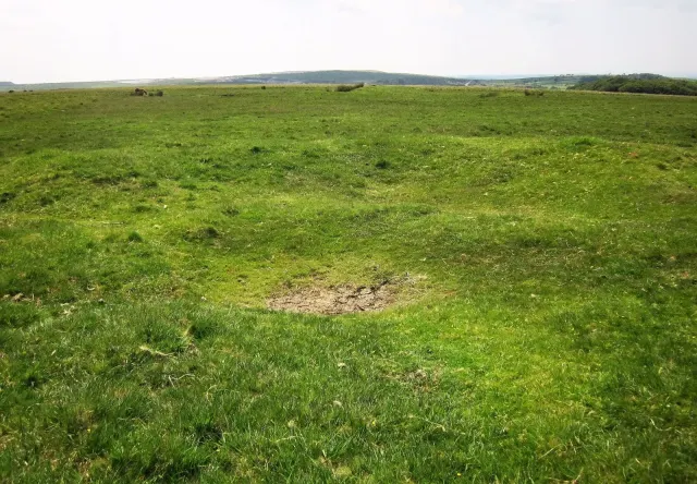
A Bronze Age cairn on the high moorland south-east of Ringmoor Cottage.
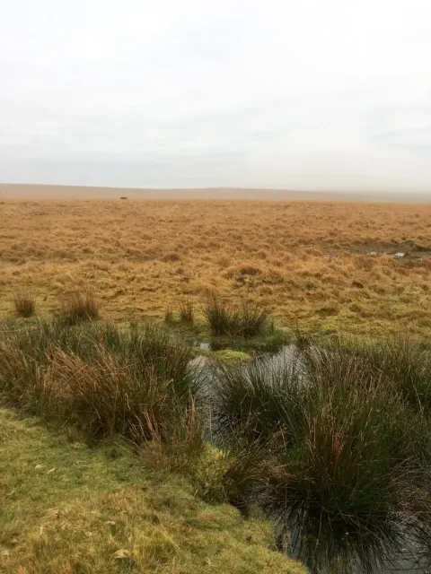
A cairn 21 m across and 0.7 m high on Ringmoor Down, with a hollow centre, about 90 m north-west of Eylesbarrow Reave.

A cairn 10 m across with a kerb, built round a natural boulder that rises 1.1 m, a few metres south-east of Shell Top.
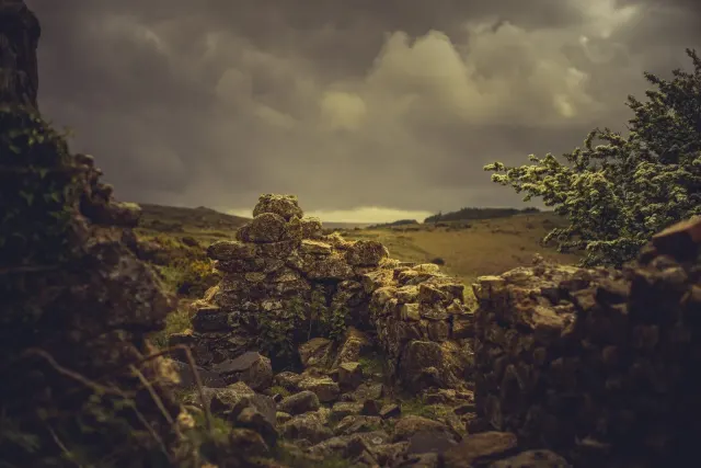
Which Dartmoor place is this?
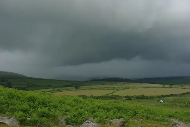
A flat-topped cairn 9 m across and 0.3 m high just west of an enclosure south-west of Gutter Tor, reported to have had a central cist, 80 m south-east of a cist.

A heather-covered cairn 11 m across and over 1 m high with a hollow in its middle, on a south slope above the Plym, near an enclosure with hut circles.

A grass-covered cairn 8 m across and 0.3 m high with five kerb stones, west of Legis Lake, within 100 m of a stone circle.

A tight cairnfield of eight mounds, 0.7 to 1.1 m high, on a gentle east slope above the Blackaton Brook.
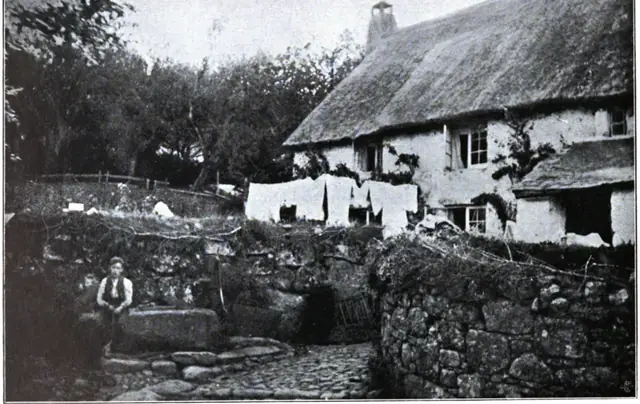 Plate from Dartmoor Illustrated, page 84, 1900
“the inside of the prisons presents a melancholy and disagreeable aspect and one would imagine they were calculated for cattle rather then the human species,”
Also on Our DartmoorDartmoor Illustrated: A Series of One Hundred Full Page Plates of Its Scenery and Antiquities, with Some Short Topographical Notes — One hundred full page plates of Dartmoor's scenery and antiquities by T. A. Falcon, with short topographical notes, published at Exeter in 1900.