

← Browse Prehistoric Settlements · Browse the directory
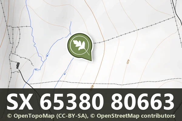
Historic England's scheduling record (list entry 1021339) describes coaxial fields, a settlement, two cairns and a stone alignment on a west-facing slope above the valley of the Stannon Brook, in Little Stannon Newtake. The scheduling falls into four areas. It lies in the parish of Dartmoor Forest, about 1.4 km north-east of Hartland Tor and 1.7 km north of Postbridge.
The fields share one north-east to south-west axis, cut by transverse boundaries, stony banks up to 3 metres wide and 0.7 metres high. In the southernmost field is a settlement of at least five hut circles and some lengths of rubble walling marking small enclosures. The northern cairn lies a short way north of the northernmost field boundary, a mound 6.5 metres across and up to 0.6 metres high, with a shallow hollow from the Dartmoor Exploration Committee's excavation in 1896, which found a pit holding charcoal, burnt bone and a flint flake. Four edge-set stones up to 1 metre high south-east of it are what remains of a stone row. The second cairn, at SX 65468105, is 4.5 metres across and up to 0.5 metres high, with a kerb of edge-set slabs up to 1.15 metres high on its west side and buried under a later boundary bank on the east, and a cist in the middle, a rectangular pit marked by edge-set slabs, running north to south, 1.2 metres long and 0.5 metres wide.
Sources: Historic England list entry 1021339, which cites Butler, Dartmoor Atlas of Antiquities (1991), pages 168 and 168 to 169, the RCHME survey of Little Stannon Newtake (1989) and the National Monuments Record monument reports SX 68 SE 77 and SX 68 SE 79 (2003). Comments on the Historic England page by Sandy Gerrard (photographs of the cairn at SX 65330 81094, 27 May 2017) and Raymond Ducker (a photograph said to show the cist, April 2023) are not used.
- Period: Bronze Age
- Status: Scheduled monument (Historic England list entry 1021339)
- Grid reference: SX 6538 8066 (approximate, from the listing's coordinates)
Contact us if you have information about this listing


Official record
Explore the area
Go deeper with Dartefacts
Dartefacts is a database of Dartmoor sites with far more close-up detail than we can show here, and it is the best place to go deeper. Dartefacts is free to use, and nobody has to pay to look things up. If you want more, a yearly subscription adds 10-figure grid references, map zoom down to 1:25,000 and lists to tick off the places you have visited, and it helps keep the site going. We would encourage you to subscribe.
More Dartmoor resources
Thoughts
Be the first to share a thought about Little Stannon Newtake coaxial fields.
Share a thoughtKnow another Dartmoor place, tor or landmark we should include? Suggest a listing, it is free.
Suggest a listing