Hut circles near Legis Tor
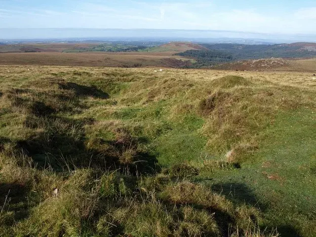
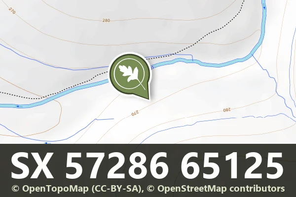
One of three stone hut circles south-east of Legis Tor, 8 m across with walls 1 m thick, facing north towards the River Plym.
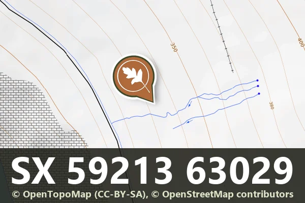
A cairn 8 m across and up to 1 m high with a central hollow, the north-eastern of two on the west slope of Penn Beacon, near a group of springs.
A 350 m parallel reave with an enclosure 36 m across holding a hut circle and a second enclosure 14 m across, east of the Roughtor parallel reave.
A 160 m dog-leg of the Eylesbarrow reave running through clitter on the north-west slope of Gutter Tor, a low bank up to 2.5 m wide.
A 700 m stretch of the Eylesbarrow reave across a spur on the 320 m contour and down the north-east slope of Ringmoor Down and Gutter Tor, a bank 3 m wide with two cairns on its south side.
An 800 m stretch of the Eylesbarrow watershed reave across the top of Ringmoor Down, a bank up to 3 m wide and 0.3 m high, with three large cairns beside it and a stone row nearby.
A 300 m stretch of the Eylesbarrow watershed reave running north-east from Brisworthy Plantation up the west slope of Ringmoor Down, up to 2 m wide and 0.4 m high, cut at a cairn.
A 300 m stretch of the Eylesbarrow watershed reave running up the slope to the summit, a bank of grassed stones 3 to 5 m wide.
A 130 m stretch of the Eylesbarrow watershed reave running down the slope, a bank of earth and stone up to 5 m wide, between gaps where it cannot be traced.
Photograph by Glavind Strachan Photography“I have known many instances of people, well acquainted with certain parts of the moor, losing their way in a mist and wandering about in it for hours in the vain endeavour to find their path.”
Also on Our DartmoorTrendle earthwork NE of Kelly College — A prehistoric circular earthwork on the moorland northeast of Kelly College, likely an Iron Age or Bronze Age settlement.