

← Browse Reaves & Field Systems · Browse the directory
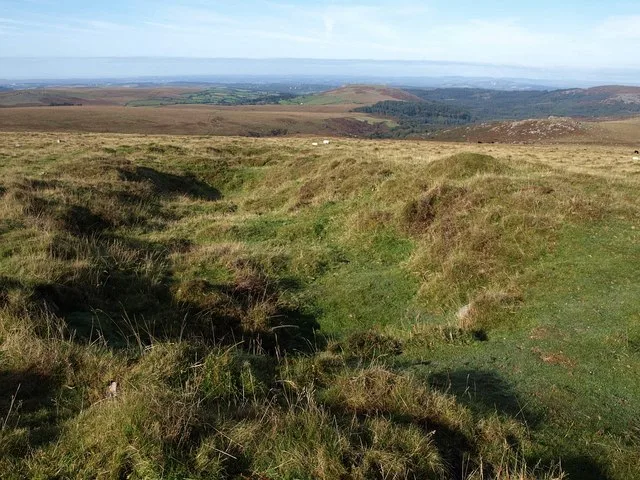
Main image: Tin workings near Eylesbarrow - 35 metres from location - image by Derek Harper (CC BY-SA 2.0), via Wikimedia Commons
Historic England's scheduling record (list entry 1010658) describes part of the Eylesbarrow watershed reave. The reave can be traced from Cadworthy Wood to Eylesbarrow, about 7.5 kilometres, and divides the watershed of the River Plym from that of the River Meavy. This length runs up the slope of Eylesbarrow for about 300 metres from a gap in its course to the summit, where it ends. It is a bank of grass-covered stones 3 to 5 metres wide and up to 0.75 metres high, with some large stones showing. It lies across the parishes of Sheepstor and Walkhampton, about 1.1 km east of Combeshead Tor.
Sources: Historic England list entry 1010658, which cites Fleming, The Dartmoor Reaves (1988), and the Devon County Sites and Monuments Register SX56NE-278 (1990).
- Period: Prehistoric
- Status: Scheduled monument (Historic England list entry 1010658)
- Grid reference: SX 5978 6857 (approximate, from the listing's coordinates)
Contact us if you have information about this listing


Official record
Explore the area
Go deeper with Dartefacts
Dartefacts is a database of Dartmoor sites with far more close-up detail than we can show here, and it is the best place to go deeper. Dartefacts is free to use, and nobody has to pay to look things up. If you want more, a yearly subscription adds 10-figure grid references, map zoom down to 1:25,000 and lists to tick off the places you have visited, and it helps keep the site going. We would encourage you to subscribe.
More Dartmoor resources
Thoughts
Be the first to share a thought about Eylesbarrow reave: the summit stretch.
Share a thought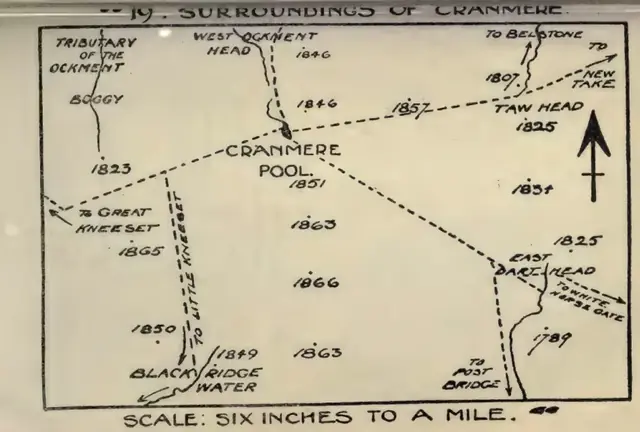 Plate from Guide to Dartmoor, page 255, 1909
“A moor-man always speaks of 'things' when he means flocks and herds.”
Also on Our DartmoorHut circle near Penn Beacon — A stone hut circle 4.7 m across inside, terraced into a south-east slope above the Ford Brook, with its doorway facing south-south-east.
Know another Dartmoor place, tor or landmark we should include? Suggest a listing, it is free.
Suggest a listing