
Tors & Landmarks
Lowery Tor
A small tor on the side of Peek Hill above Burrator Reservoir, in Walkhampton, with views down to the water and on to Plymouth Sound.


The granite tors of Dartmoor, including the ones whose names end in Rocks, Rock or Stone.
A tor is a large free-standing outcrop of rock that rises abruptly from gentler slopes on a hill or ridge. The word comes from Old Welsh and means a cluster or heap. On Dartmoor the tors are granite, emplaced about 280 million years ago. They survive where widely spaced joints in the granite let blocks of rock outlast the weathering that turned the rest into sandy gravel (growan).
Dating of 28 Dartmoor tors found that most have been exposed for less than 100,000 years, and none for more than 200,000. They probably emerged at the start of the last major ice age.
The highest point on Dartmoor is High Willhays, at 621 metres, near Okehampton. Yes Tor stands about a kilometre to the north along the same ridge and is slightly lower.
Which outcrops count as tors is a decision for people far better qualified than this directory. We follow the Tors of Dartmoor database, the Treks and Tors list and Tor Bagger: if one of them lists it as a tor, it is listed here as one. Hills and mounds that none of them list are on the Hills and Mounds page.
This page lists the tors and other named landmarks in the directory. Use the map to see where they are, and open a listing for its grid reference and further sources.
Sources: Wikipedia, Tor (rock) and High Willhays.
A small tor on the side of Peek Hill above Burrator Reservoir, in Walkhampton, with views down to the water and on to Plymouth Sound.

A tor above the Lych Way between the Cowsic and the West Dart, close to Bear Down, with higher ground behind it and the Merrivale range around.
“Nor can imagination body forth a place more congenial to the sights and sounds of dark and blood-stained rites, than this dreary, narrow, rock-strewn glen of the Dart.”
Which book is this from?

A quiet tor on the ridge between the upper Walkham and the Bagga Tor Brook, with the Limsboro cairn, at the north end of the Merrivale range.

A broad, boggy hill east of the sources of the Walkham, inside the Merrivale firing range, crossed by routes to the Tavy and Fur Tor.
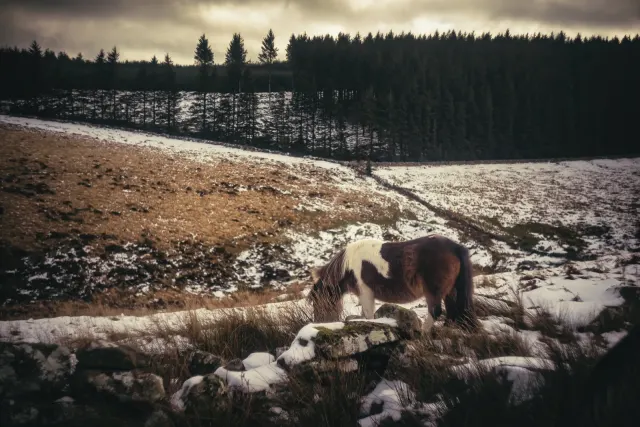
A granite hill near the North Teign river with historical and landscape links to nearby Mangersford and Manga Rails.

A tor above the Dart near Dartmeet, known for four rock basins on its top, with Mel Tor Wood below and the Two Moors Way close by.

A hill south of Chagford, 390 m, with views over the tors of eastern Dartmoor, several rock basins on its summit and a path up from the south side.

A hill on the road between Postbridge and the Warren House Inn, with a Second World War observation post on the summit and views south to Hameldown.
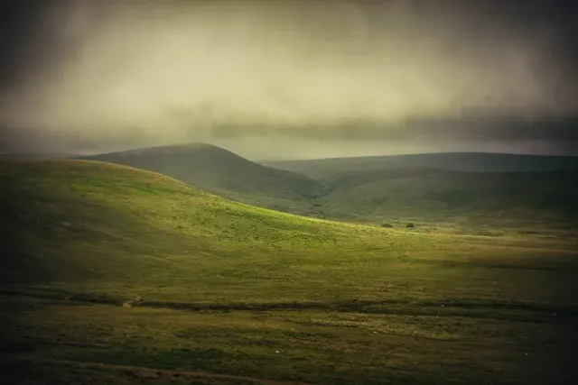
A flat-topped hill jutting into Taw Marsh between Steeperton Tor and Cosdon, on the line of the old forest boundary.
 Photograph by Glavind Strachan Photography
“An intense stillness reigned upon the moor, bringing vividly to our minds the fact that we were here far removed from any human beings.”
Also on Our DartmoorHut circle north-east of Hentor Brook — A hut circle 5 m across inside with a wall of small stone and earth 1 m thick and a south entrance, close to the north bank of Hentor Brook.
