Pixey Copse Tor
Bovey Tracey
Pixey Copse Tor, standing at 140 metres, is a granite valley side tor near Bovey Tracey. Its jagged, dark rocks, heavily fissured and covered in vegetation, form an intriguing path through Shaptor Wood.
The granite tors of Dartmoor, including the ones whose names end in Rocks, Rock or Stone.
A tor is a large free-standing outcrop of rock that rises abruptly from gentler slopes on a hill or ridge. The word comes from Old Welsh and means a cluster or heap. On Dartmoor the tors are granite, emplaced about 280 million years ago. They survive where widely spaced joints in the granite let blocks of rock outlast the weathering that turned the rest into sandy gravel (growan).
Dating of 28 Dartmoor tors found that most have been exposed for less than 100,000 years, and none for more than 200,000. They probably emerged at the start of the last major ice age.
The highest point on Dartmoor is High Willhays, at 621 metres, near Okehampton. Yes Tor stands about a kilometre to the north along the same ridge and is slightly lower.
Which outcrops count as tors is a decision for people far better qualified than this directory. We follow the Tors of Dartmoor database, the Treks and Tors list and Tor Bagger: if one of them lists it as a tor, it is listed here as one. Hills and mounds that none of them list are on the Hills and Mounds page.
This page lists the tors and other named landmarks in the directory. Use the map to see where they are, and open a listing for its grid reference and further sources.
Sources: Wikipedia, Tor (rock) and High Willhays.

Bovey Tracey
Pixey Copse Tor, standing at 140 metres, is a granite valley side tor near Bovey Tracey. Its jagged, dark rocks, heavily fissured and covered in vegetation, form an intriguing path through Shaptor Wood.
Lustleigh
Plain Mummeries Tor is a small but distinctive rock outcrop located on a gentle spur near Lustleigh. It sits within a woodland clearing and its name comes from the 19th Century Tithe Maps, which referred to the area as 'Plain Mummeries'.
A large granite rock at the entrance to North Bovey, marked with a finger post and named for its historical use as an animal pound.
A hill with a legend, marked by a cairn and views towards Teignmouth and Snowdon.
A fairly flat hill with settling tanks and remnants of the Zeal tramway nearby.
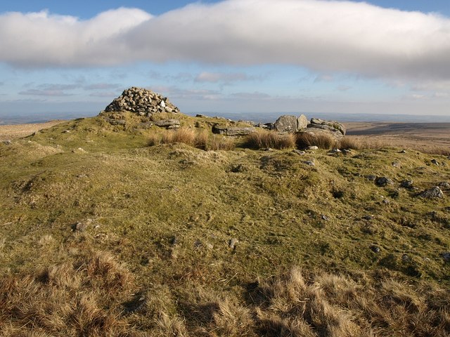
A striking tor on eastern Dartmoor with three large cairns and a triangulation pillar overlooking the northern high moors.
A remote granite tor set in a basin, with Gidleigh Common stretching out below.
Cornwood
Rook Tor is a Dartmoor peak located near Cornwood, marked on Ordnance Survey maps just below 300 meters.
Bovey Tracey
Rooks Hole Tor stands as a grand peak near Bovey Tracey, with magnificent white-faced outcrops that tower above the surrounding woodland.