
Tors & Landmarks
Laughter Tor
A modest tor north of Dunnabridge Pound, split into two outcrops by a wall, with a menhir and stone row close by.


The granite tors of Dartmoor, including the ones whose names end in Rocks, Rock or Stone.
A tor is a large free-standing outcrop of rock that rises abruptly from gentler slopes on a hill or ridge. The word comes from Old Welsh and means a cluster or heap. On Dartmoor the tors are granite, emplaced about 280 million years ago. They survive where widely spaced joints in the granite let blocks of rock outlast the weathering that turned the rest into sandy gravel (growan).
Dating of 28 Dartmoor tors found that most have been exposed for less than 100,000 years, and none for more than 200,000. They probably emerged at the start of the last major ice age.
The highest point on Dartmoor is High Willhays, at 621 metres, near Okehampton. Yes Tor stands about a kilometre to the north along the same ridge and is slightly lower.
Which outcrops count as tors is a decision for people far better qualified than this directory. We follow the Tors of Dartmoor database, the Treks and Tors list and Tor Bagger: if one of them lists it as a tor, it is listed here as one. Hills and mounds that none of them list are on the Hills and Mounds page.
This page lists the tors and other named landmarks in the directory. Use the map to see where they are, and open a listing for its grid reference and further sources.
Sources: Wikipedia, Tor (rock) and High Willhays.
A modest tor north of Dunnabridge Pound, split into two outcrops by a wall, with a menhir and stone row close by.

A steep-sided tor above Burrator Reservoir on Walkhampton Common, near Peek Hill, with a name that Crossing and Worth both read as meaning steep.

Leeden Tor stands on Walkhampton Common beside the Princetown road, with a spindle whorl found on its summit in 1888.

A small tor above the right bank of the River Plym on Ringmoor Down, with excavated hut circles, a kistvaen and rabbit warren mounds.

A low tor south of Poundsgate beside the Newbridge road, formed of a schorl rock dyke, with a steep drop on its far side.
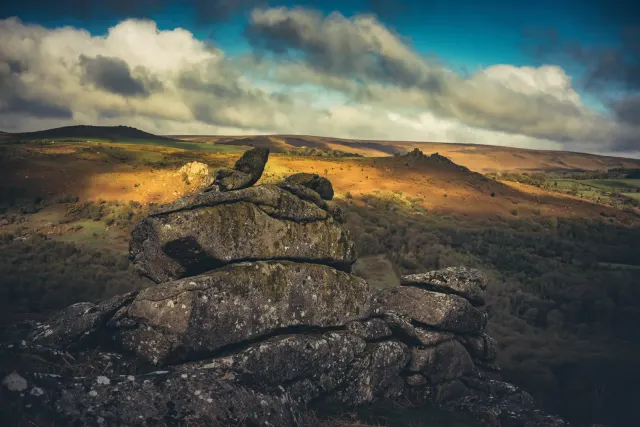
A tor on the slope above Hound Tor Combe, easily confused with Hole Rock and Greator Rocks, and only recently marked on Ordnance Survey maps.
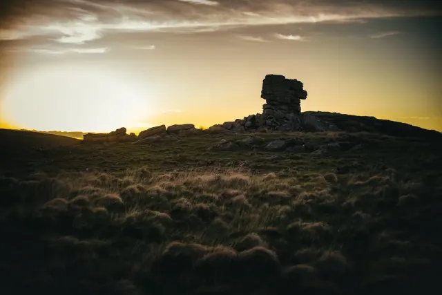
A tor on the right bank of the West Okement, below High Willhays, that looks low against the higher hills around it.

A modest group of rocks on the ridge between Crockern Tor and Longaford Tor, above one end of Wistman's Wood.

A small tor at the southern end of the Littaford group, near Longaford Tor, with rock basins on top.
 Photograph by Glavind Strachan Photography
“I have known many instances of people, well acquainted with certain parts of the moor, losing their way in a mist and wandering about in it for hours in the vain endeavour to find their path.”
Also on Our DartmoorRival Tor — A single lump of granite near the top of a low grassy hill above the Walla Brook on Gidleigh Common, reached only by a faint path from Scorhill.
