
Tors & Landmarks
Honeybag Tor
A group of rocks at the north end of the ridge above Widecombe valley, with Chinkwell Tor and Bonehill Rocks to the south.


The granite tors of Dartmoor, including the ones whose names end in Rocks, Rock or Stone.
A tor is a large free-standing outcrop of rock that rises abruptly from gentler slopes on a hill or ridge. The word comes from Old Welsh and means a cluster or heap. On Dartmoor the tors are granite, emplaced about 280 million years ago. They survive where widely spaced joints in the granite let blocks of rock outlast the weathering that turned the rest into sandy gravel (growan).
Dating of 28 Dartmoor tors found that most have been exposed for less than 100,000 years, and none for more than 200,000. They probably emerged at the start of the last major ice age.
The highest point on Dartmoor is High Willhays, at 621 metres, near Okehampton. Yes Tor stands about a kilometre to the north along the same ridge and is slightly lower.
Which outcrops count as tors is a decision for people far better qualified than this directory. We follow the Tors of Dartmoor database, the Treks and Tors list and Tor Bagger: if one of them lists it as a tor, it is listed here as one. Hills and mounds that none of them list are on the Hills and Mounds page.
This page lists the tors and other named landmarks in the directory. Use the map to see where they are, and open a listing for its grid reference and further sources.
Sources: Wikipedia, Tor (rock) and High Willhays.
A group of rocks at the north end of the ridge above Widecombe valley, with Chinkwell Tor and Bonehill Rocks to the south.

A small tor of several piles of rock on Hameldon's western side, above Grimspound, with the Two Moors Way running across the top.
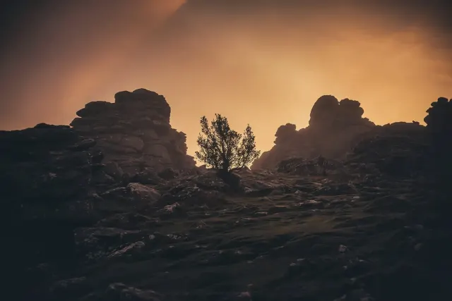
Manaton, Newton Abbot
A substantial tor of vast granite stacks above Hound Tor Down near Manaton, one of the most visited on the moor, with a car park close by.
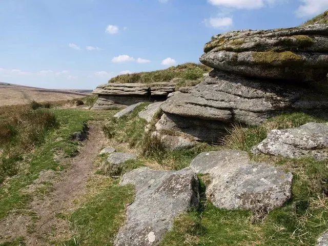
Throwleigh, Okehampton
A low, grass-topped granite tor of 495 m on the ridge between Cosdon and Hangingstone Hill, with a parish mark cut in its east face.

Hunt Tor stands close to the source of the Rattle Brook, on Bridestowe and Sourton Common, at 1,843 feet in the older books.
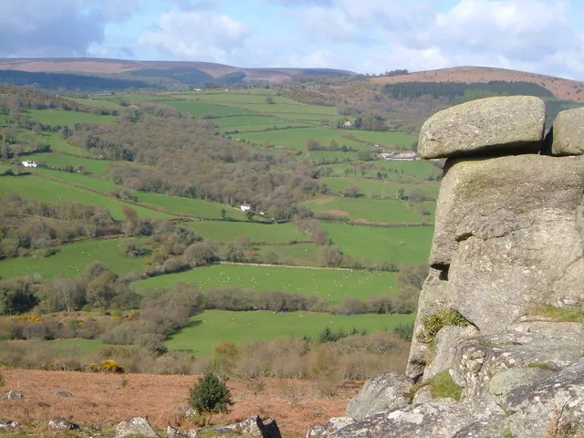
Moretonhampstead
A granite tor of 319 m at the north-west end of Lustleigh Cleave, with an oval Iron Age hillfort on the hilltop above it.
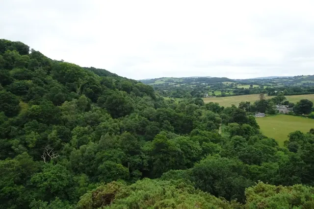
A granite outcrop of 188 m high above the north side of the Teign Gorge near Castle Drogo, marked on OS maps, with views east to Sharp Tor.

A tor above the old Princetown railway and Ingra Tor quarry, with views over the Walkham valley towards Brentor.
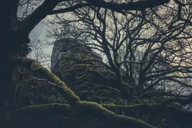
A small tor and clitter in Belstone Cleave on the bank of the Taw, east of Belstone and below Cosdon.
