Unenclosed hut circle settlement near Hemstone Rocks
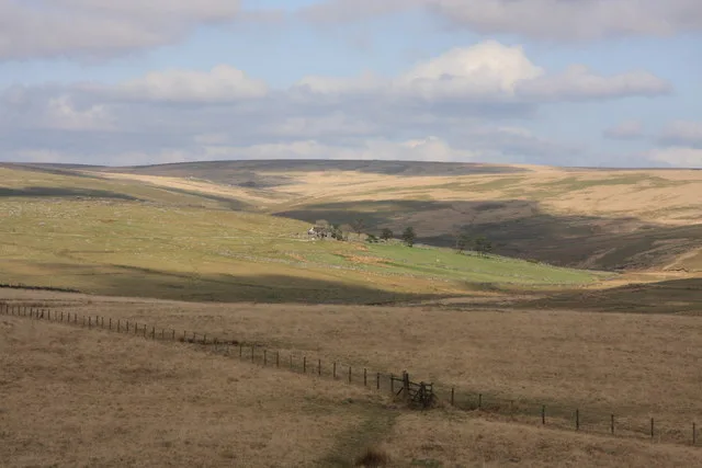
Bronze Age settlement of stone hut circles with cairns and field boundaries, north east of Hemstone Rocks.
Bronze Age stone hut settlement on Harford Moor, with remains of multiple roundhouses scattered across unenclosed moorland.
Six hut circles, 7.5 to 10.5 m across, terraced into a south-facing slope 500 m south-west of Gutter Tor, with south-facing entrances, one with its jambs.
Twenty-two hut circles, 5 to 11 m across, in two groups with enclosures on the steep east side of the Erme valley, and three tinners' caches from later use.
An X-shaped vermin trap of two V-shaped walls beside Legis Tor, with a slab-lined trapping channel and a cover stone cut with holes for the tripping gear.
Old books sometimes spell "Hen Tor" differently. Which of these is one of those spellings?
A rabbit warren on Sheeps Tor: at least eleven pillow mounds, three vermin traps (two forming X-shaped traps) and a walled warreners' house, in eleven areas, perhaps of early origin.
A round cairn, 21 m across and 1.7 m high, with an inverted boundary cross and a two-roomed peat-cutters' shelter built into it, on Quickbeam Hill.
The westernmost cairn of the Homerton Hill cairnfield, 5 m across and 0.4 m high, with its stony core exposed on the south.
Remains of a tin mine shaft and workings on the western edge of Eylesbarrow.