Dartmoor quiz
What is the height of Beardown Man above ground?


← Browse Prehistoric Settlements · Browse the directory

Main image: Photo: Guy Wareham, Wikimedia Commons
This scheduled monument preserves the remains of a prehistoric settlement on the open moor, likely dating to the Bronze Age when Dartmoor supported scattered farming communities. The site contains the footings of stone hut circles, burial cairns, and traces of the field systems that once divided the moorland into small plots for cultivation and grazing.
Today the settlement sits as low stone foundations and earthworks among the rough grass and heather. It tells a story of how people lived and worked on Dartmoor in ancient times, before the climate deteriorated and many such settlements were abandoned. The site lies within the wider archaeological landscape of upland Dartmoor, where hundreds of similar Bronze Age sites still survive.
Contact us if you have information about this listing
Dartefacts is a database of Dartmoor sites with far more close-up detail than we can show here, and it is the best place to go deeper. Dartefacts is free to use, and nobody has to pay to look things up. If you want more, a yearly subscription adds 10-figure grid references, map zoom down to 1:25,000 and lists to tick off the places you have visited, and it helps keep the site going. We would encourage you to subscribe.
Be the first to share a thought about Unenclosed hut circle settlement near Hemstone Rocks.
Share a thought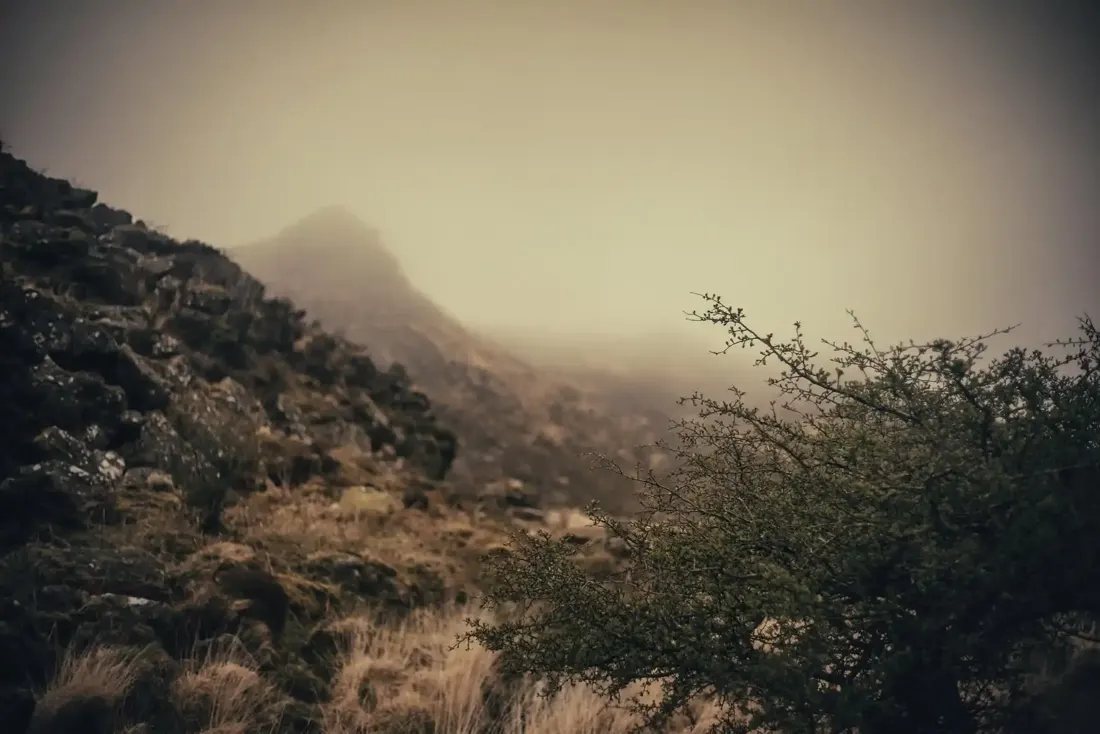 Tavy Cleave. Photograph by Glavind Strachan Photography
“In the distant hollow on the left, half hidden by the mist, the two thin towers of Baskerville Hall rose above the trees.”
Also on Our DartmoorCairn and cist, Ingra Tor — A cairn 7.6 m across and 0.8 m high with large stones through its surface and a cist 1.24 m by 0.66 m opened by past excavation, below Ingra Tor.
What is the height of Beardown Man above ground?
Know another Dartmoor place, tor or landmark we should include? Suggest a listing, it is free.
Suggest a listing