

← Browse Cairns & Barrows · Browse the directory
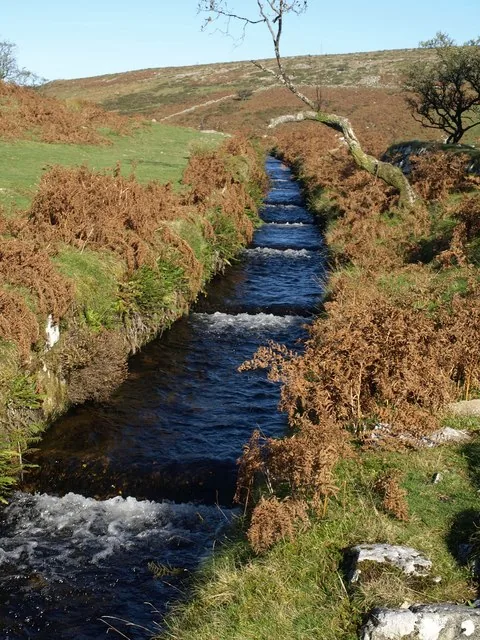
Main image: Photo: Derek Harper (CC BY-SA 2.0) via Wikimedia Commons
- Period: Bronze Age (the boundary bank may be of a different date)
- Status: Five scheduled monuments (Historic England entries listed below)
- Mounds: 17, from 2 m to 8.5 m long, averaging 0.56 m high
- Where: The gentle south-west slope of Raddick Hill, 440 m to 590 m from the summit
A cairnfield is a scatter of stone mounds over one stretch of hill. This one, on the south-west slope of Raddick Hill, has 17 mounds, two lengths of boundary bank and a lynchet, in five scheduled monuments. The biggest group is twelve mounds scattered round the edges of two small fields: nine are roughly round, 3 m to 6.3 m across, and the rest are oval, 4 m to 8.5 m long, with an average height of 0.56 m. A lynchet 42 m long divides the smaller eastern field, 28 m by 35 m, from the larger western one, 84 m by 68 m. Three of the mounds have a hollow cut into them, which suggests robbing or early digging.
Historic England reads some of the mounds as burials but thinks most are stone cleared from the ground when it was cultivated, and that the boundary bank on the southern edge is not necessarily of the same date as the cairns.
The five scheduled monuments
| Historic England entry | Grid reference | What survives |
|---|---|---|
| 1007415 | SX 57456 70752 | One cairn 3.8 m across and up to 0.5 m high. |
| 1007416 | SX 57438 70808 | One cairn 2.3 m by 2 m and up to 0.3 m high. |
| 1007417 | SX 57428 70748 | One cairn 5 m across and up to 0.7 m high. |
| 1007425 | SX 57547 70826 | Twelve cairns round two small fields, with a 42 m lynchet and a rubble boundary bank. |
| 1007426 | SX 57455 70776 | Two cairns 3 m across at either end of a 12 m rubble bank. |
Grid references are from the Historic England entries. Each entry covers one scheduled monument; a monument can hold several features.
Contact us if you have information about this listing
The 5 rings on this map are the separate scheduled monuments that make up this listing, placed from Historic England’s records. Tap a ring for its grid reference and a link to its official entry. The pin marks the middle of the group.
Official record
Explore the area
Go deeper with Dartefacts
Dartefacts is a database of Dartmoor sites with far more close-up detail than we can show here, and it is the best place to go deeper. Dartefacts is free to use, and nobody has to pay to look things up. If you want more, a yearly subscription adds 10-figure grid references, map zoom down to 1:25,000 and lists to tick off the places you have visited, and it helps keep the site going. We would encourage you to subscribe.
Thoughts
Be the first to share a thought about Cairnfield on Raddick Hill.
Share a thought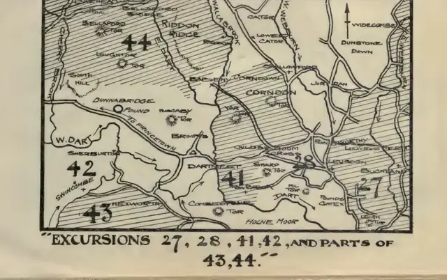 Plate from Guide to Dartmoor, page 161, 1909
“And desolate as Dartmoor is, with thousands of acres now destitute even of a turf-cutter's cabin, considerable vestiges of antient dwellings may still be traced in various parts of the Forest and its precincts.”
Also on Our DartmoorCartridge and Press Rooms — Industrial ruins nestled on Dartmoor where gunpowder was manufactured and pressed during the 19th century.
Know another Dartmoor place, tor or landmark we should include? Suggest a listing, it is free.
Suggest a listing