

← Browse Cairns & Barrows · Browse the directory

Cairnfield on Longstone Hill
Okehampton Hamlets, Okehampton, Devon
Grid ref: SX 5670 9096
- Period: Bronze Age
- Status: Twenty-six scheduled monuments (Historic England entries listed below)
- Size: At least 64 mounds, each 2 m to 12 m across and 0.2 m to 1.2 m high
- Where: The ridge south of Longstone Hill, its summit and its west and north slopes
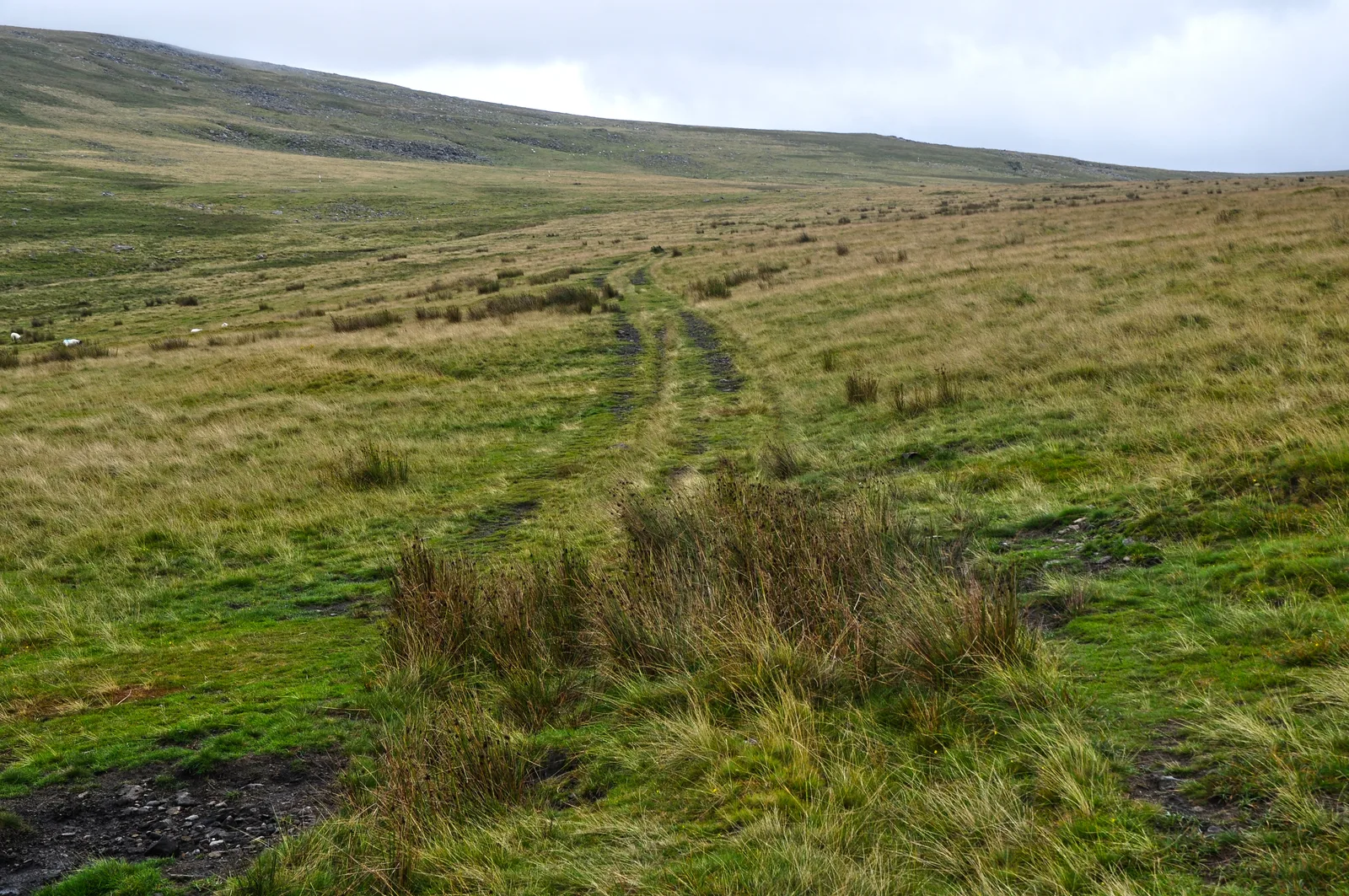
A cairnfield is a scatter of stone mounds on one stretch of hill. This one, on the ridge running south from Longstone Hill and over the summit, holds at least 64 mounds, looking out over the valleys of the Redaven Brook and the West Okement River. Many of the mounds stand on the crest of the ridge, where they can be seen from a long way to the east and west. Historic England reads that as a sign that many cover burials, while noting that the size and shape of some suggests they are heaps of stone cleared from ground that was farmed.
The biggest group is one monument of eighteen cairns, a 50 m length of bank and a recumbent stone 1.75 m long, which is the only large stone visible on the hill. It has been suggested that it is the longstone that once stood upright and gave the hill its name. Some mounds have hollows in the middle, left by early digging or robbing. V-shaped trenches and shallow hollows among the cairns are from military training in the Second World War.
The hut circle just south of the field and a round cairn on the slope of Yes Tor are listed separately, linked below.
The twenty-six scheduled monuments
| Historic England entry | Grid reference | What survives |
|---|---|---|
| 1010579 | SX 56601 90696 | Three cairns on a steep west-facing slope of the ridge south of the hill, 3.4 m to 4 m across and 0.5 m to 0.8 m high. |
| 1010580 | SX 56530 90751 | Three cairns, the westernmost of the field: two 2.5 m round ones and an east-west oval 4 m by 2 m, all 0.5 m high or less. |
| 1010581 | SX 56824 90962 | Two cairns on the ridge, aligned NNW to SSE: one 4.3 m across and 1 m high on the downhill side, one 3.2 m across and 0.5 m high. |
| 1010582 | SX 56777 90969 | Two cairns on the ridge, 4.3 m and 4.2 m across and up to 0.7 m high; a track has cut into the western edge of the southern one. |
| 1010583 | SX 56769 91280 | Three cairns on the north-facing slope: two round (3.2 m and 3.8 m across) and an oval 4 m by 2.3 m. |
| 1010584 | SX 56729 90976 | A small cairn on the ridge, 3 m across and 0.2 m high. |
| 1010585 | SX 56665 91016 | Two cairns on the ridge, 4.5 m and 5.5 m across and under 0.5 m high. |
| 1010586 | SX 56702 91080 | A cairn on the summit, 4.2 m across and 0.3 m high, with a hollow in the middle from early digging or robbing. |
| 1010587 | SX 56691 91140 | A round cairn near the summit, 12 m across and 0.8 m high, the biggest in the field, with a hollow suggesting early digging or robbing. |
| 1010588 | SX 56599 91076 | Four cairns on the west-facing slope: three round (3 m to 6 m across) and an oval 5.8 m by 4 m, 0.3 m to 0.8 m high. |
| 1010589 | SX 56607 91132 | Two cairns on a west-facing slope, 6 m and 5 m across; the western one stands 1.1 m high on its downhill side. |
| 1010590 | SX 56654 91197 | Two cairns: a 6.5 m cairn up to 1 m high with a surrounding quarry ditch, and a small 2.5 m cairn 0.2 m high. |
| 1010597 | SX 56781 90796 | The largest group: eighteen cairns, a 50 m length of bank and a recumbent stone, on the ridge south of the hill. Four cairns have hollows from early digging. |
| 1010598 | SX 56802 90696 | Four cairns on the ridge, two round (2.5 m and 3.6 m across) and two oval, up to 6 m by 3.5 m. |
| 1010599 | SX 56756 90647 | Two cairns on the ridge, 2.8 m and 4 m across; the southern one has a hollow on its north-east side. |
| 1010600 | SX 56726 90762 | A cairn 4 m across and 0.35 m high, with a hollow in the middle. |
| 1010601 | SX 56684 90617 | A cairn 4.5 m across, 0.9 m high on the downhill side. |
| 1010602 | SX 56724 90352 | The southernmost cairn of the field, 4.5 m across and 0.7 m high. |
| 1010604 | SX 56674 91250 | Three cairns on a north-west-facing slope: two ovals (3.5 m by 2.2 m and 8 m by 4 m) and a round one 5.7 m across and 1.1 m high. |
| 1010605 | SX 56751 91328 | A cairn on the north slope, 3.5 m across and up to 0.9 m high. |
| 1010606 | SX 56787 91355 | A cairn on the north slope, 6.2 m across and up to 1.2 m high on the downhill side. |
| 1010607 | SX 56714 91291 | A cairn on the north slope, 3 m across and 0.3 m high. |
| 1010608 | SX 56791 90896 | A cairn on the ridge, 4.7 m across and 0.5 m high, with a hollow in the middle. |
| 1013420 | SX 56803 91237 | A cairn on the east-facing slope, 5 m across and 0.7 m high. |
| 1013421 | SX 56566 91105 | A cairn on the west-facing slope, 5 m across and up to 0.9 m high. |
| 1013422 | SX 56745 90399 | Two cairns on the ridge, aligned north to south: an oval 5 m by 4 m and a round one 8 m across. |
Grid references are from the Historic England entries. Each entry covers one scheduled monument; a monument can hold several cairns.
Contact us if you have information about this listing


The 26 rings on this map are the separate scheduled monuments that make up this listing, placed from Historic England’s records. Tap a ring for its grid reference and a link to its official entry. The pin marks the middle of the group.
Official record
Explore the area
Go deeper with Dartefacts
Dartefacts is a database of Dartmoor sites with far more close-up detail than we can show here, and it is the best place to go deeper. Dartefacts is free to use, and nobody has to pay to look things up. If you want more, a yearly subscription adds 10-figure grid references, map zoom down to 1:25,000 and lists to tick off the places you have visited, and it helps keep the site going. We would encourage you to subscribe.
Thoughts
Be the first to share a thought about Cairnfield on Longstone Hill.
Share a thoughtKnow another Dartmoor place, tor or landmark we should include? Suggest a listing, it is free.
Suggest a listing