

← Browse Prehistoric Settlements · Browse the directory
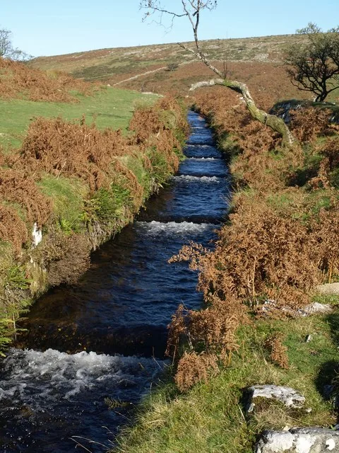
Settlements and hut circles on Raddick Hill
Walkhampton, Yelverton, Devon
Grid ref: SX 5744 7102
Main image: Photo: Derek Harper (CC BY-SA 2.0) via Wikimedia Commons
- Period: Bronze Age
- Status: Four scheduled monuments (Historic England entries listed below)
- Huts: 26 stone hut circles in these four entries
- Where: The west-facing slope of Raddick Hill, 380 m to 460 m from the summit, above the River Meavy
The west-facing slope of Raddick Hill, above the valley of the River Meavy, holds a cluster of Bronze Age settlements. Three are enclosures with hut circles in them. One, 460 m west-south-west of the summit, is two joined enclosures, each about 60 m across, with seven huts, six inside and one just outside the north-east corner; the huts are 3.5 m to 6.8 m across inside. Another, 400 m west of the summit, is a single oval enclosure 100 m by 80 m with seven huts, six inside and one outside the north-west, where a terrace-like bank (a lynchet) up to 1 m high marks the downhill side. The third, 380 m south-west, is an enclosure 106 m by 80 m with ten huts, nine inside and one against the south-east corner. Its walls are faced with slabs on both sides, seven huts have visible doorways and three are joined to the enclosure wall, which suggests they are older. A small clearance cairn inside hints that the ground was cultivated.
A pair of huts 380 m west-north-west of the summit, 6.5 m and 6.8 m across, is joined by a 23 m boundary bank. The Devonport Leat, which has carried water to Devonport since the late 18th century and now feeds Burrator Reservoir, cuts through the middle of the south-eastern hut.
The four scheduled monuments
| Historic England entry | Grid reference | What survives |
|---|---|---|
| 1011171 | SX 57469 70934 | Two joined enclosures about 60 m across, a rubble wall 2 m wide, and seven huts 3.5 m to 6.8 m across inside. |
| 1011172 | SX 57501 71099 | An oval enclosure 100 m by 80 m with seven huts 3.2 m to 7.4 m across inside, and a lynchet up to 1 m high on the downhill side. |
| 1011173 | SX 57695 70780 | An enclosure 106 m by 80 m with a slab-faced wall, ten huts (nine round, one oval), and a clearance cairn 5 m by 4 m. |
| 1011184 | SX 57529 71165 | Two huts 6.5 m and 6.8 m across inside, a 23 m boundary bank and a short length of the Devonport Leat. |
Grid references are from the Historic England entries. Each entry covers one scheduled monument; a monument can hold several features.
Contact us if you have information about this listing
The 5 rings on this map are the separate scheduled monuments that make up this listing, placed from Historic England’s records. Tap a ring for its grid reference and a link to its official entry. The pin marks the middle of the group.
Official record
Explore the area
Go deeper with Dartefacts
Dartefacts is a database of Dartmoor sites with far more close-up detail than we can show here, and it is the best place to go deeper. Dartefacts is free to use, and nobody has to pay to look things up. If you want more, a yearly subscription adds 10-figure grid references, map zoom down to 1:25,000 and lists to tick off the places you have visited, and it helps keep the site going. We would encourage you to subscribe.
Thoughts
Be the first to share a thought about Settlements and hut circles on Raddick Hill.
Share a thought Plate from Dartmoor Illustrated, page 132, 1900
“I have known many instances of people, well acquainted with certain parts of the moor, losing their way in a mist and wandering about in it for hours in the vain endeavour to find their path.”
Also on Our DartmoorLaughter Tor — A modest tor with a menhir, stone row and hut circles near the summit, offering wide views south towards Princetown.
Know another Dartmoor place, tor or landmark we should include? Suggest a listing, it is free.
Suggest a listing