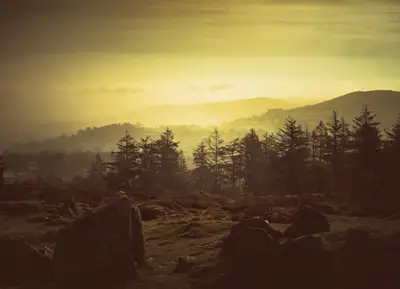
Photo © Nilfanion, CC BY-SA 3.0, via Wikimedia Commons
Walkhampton
Walkhampton is a village and civil parish on the western side of Dartmoor, about 4 miles south-east of Tavistock. The 2021 census recorded 785 residents. It is grouped with Meavy and Sheepstor under Burrator Parish Council. The church parish also takes in part of Dousland, Welltown and the moor as far as Princetown.
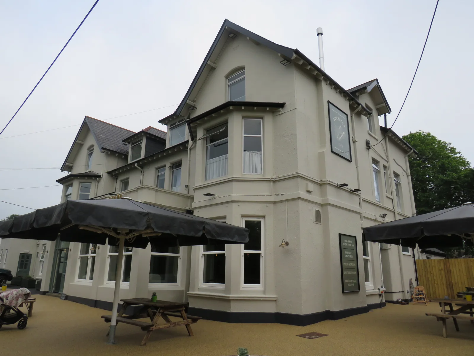
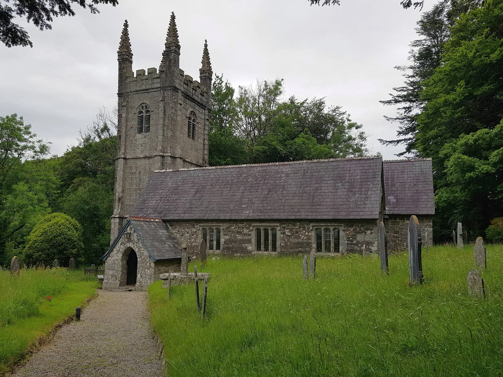
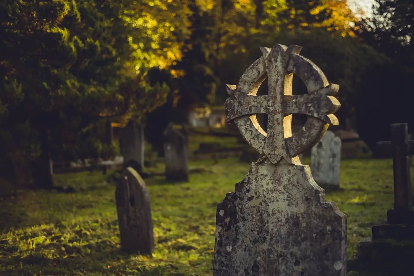
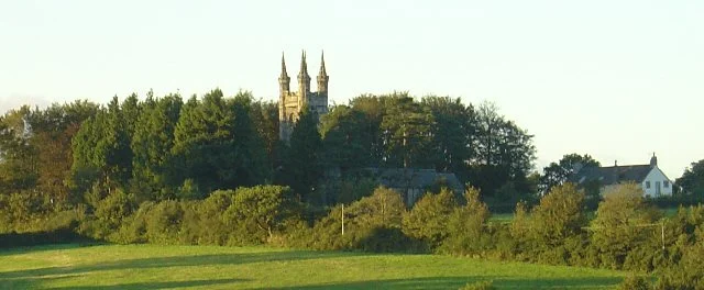
The grade I listed church stands on high ground about half a mile above the village, and one local guide says it was there before the village, which explains its position. It is 14th century with 15th century additions and a tower with four pinnacles. It faces north-east rather than east, and for about 400 years it had no recorded dedication, until it became St Mary the Virgin in 1985. Church House, near the church, dates from the early 16th century. A plaque gives 1698, probably when a second floor was added. It was a parish ale house, a tithe collection point and a council chamber on the route between Buckfast and Tavistock abbeys. The Walkhampton Inn is 17th century.
Lady Modiford's School was founded in 1719, when Lady Modiford gave a cottage as a schoolhouse for 20 poor boys. By 1785 there were 30 boys and a schoolmistress teaching 10 girls, and the school's own history dates the present building and bell tower to 1895.
Walkhampton Common has Bronze Age stone rows, cairns, hut circles and reaves, and medieval tin working. The Devonport Leat, built in the 1790s to carry water to Plymouth Dock, now ends at Burrator Reservoir, though the sources do not say whether it crosses the parish.
Walkhampton on the map
In Walkhampton
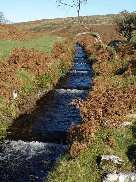
Cairnfield on Raddick Hill
Walkhampton, Yelverton
A cairnfield of 17 mounds, two boundary banks and a lynchet on the south-west slope of Raddick Hill, in five scheduled monuments, above the River Meavy.
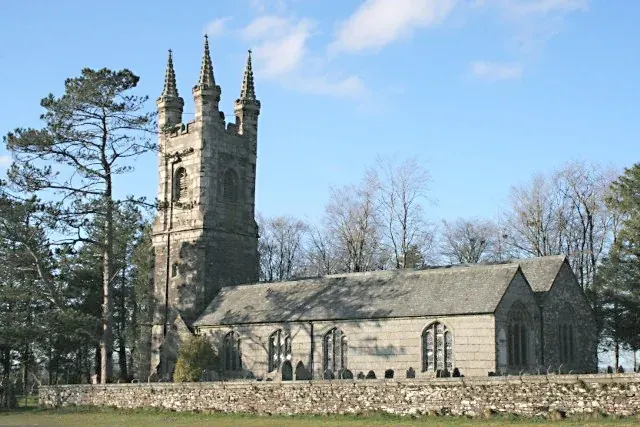
Church of St Mary, Walkhampton
Walkhampton, Yelverton
Grade I granite church of the late 15th and 16th centuries, standing apart from Walkhampton village, with a tall pinnacled tower.
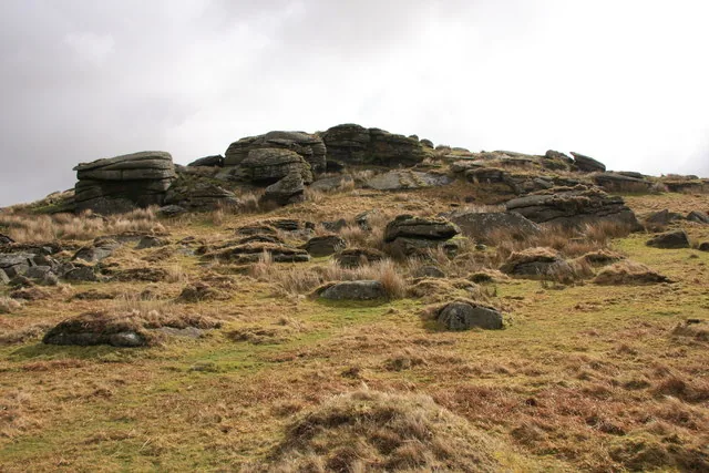
Hart Tor
Walkhampton, Yelverton
Granite tor, 390 m, on Walkhampton Common between Hart Tor Brook and the River Meavy, with Bronze Age stone rows, hut circles and tin workings on its slopes.

Hut circles and enclosures on Sharpitor
Walkhampton, Yelverton
Ten scheduled monuments on Sharpitor, above Burrator: a large unenclosed Bronze Age hut circle settlement on the north-east slope, with enclosures, a field system and a reave.
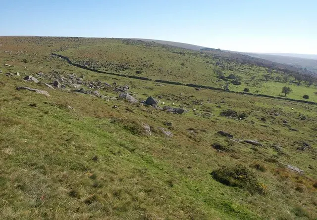
Hut circles near Down Tor
Walkhampton, Yelverton
Five Bronze Age hut circles in three scheduled monuments on the slopes south and south-west of Down Tor, above the Narrator Brook.

Hut circles on Hart Tor
Walkhampton, Yelverton
A large unenclosed Bronze Age hut circle settlement on the west-facing slope below Hart Tor, between Devil's Bridge and the tor, above the River Meavy.
Lady Modiford's Church of England Primary School
Walkhampton
We are a small village school with a big heart. We are situated in Walkhampton village and we make full use of the beautiful moors by incorporating outdoor learning wherever and whenever we can.
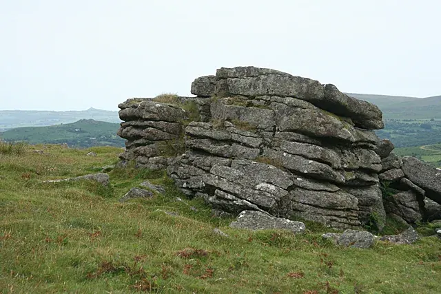
Little Sharpitor
Walkhampton, Yelverton
A small separate granite outcrop of 395 m about 100 m below Sharpitor near Burrator, on land bought by the Dartmoor Preservation Association in 1984.
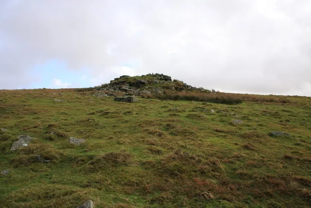
Round cairns and a platform cairn on Raddick Hill
Walkhampton, Yelverton
Five Bronze Age burial cairns in four scheduled monuments on and around the Raddick Hill plateau, including a platform cairn dug in 1898 that held a piece of bronze.
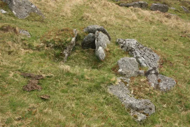
Round cairns around Down Tor
Walkhampton, Yelverton
Six Bronze Age cairns in four scheduled monuments around Down Tor, four of them with burial boxes (cists), plus a cairn built against a rock outcrop.
Round cairns on Sharpitor
Walkhampton, Yelverton
Five scheduled monuments on Sharpitor: round cairns north-west and north-east of the summit, three with a cist, including a group of four closely spaced cairns.
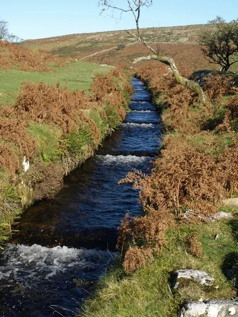
Settlements and hut circles on Raddick Hill
Walkhampton, Yelverton
Three enclosed Bronze Age settlements and a pair of huts on the west-facing slope of Raddick Hill above the River Meavy: 26 hut circles in four scheduled monuments.
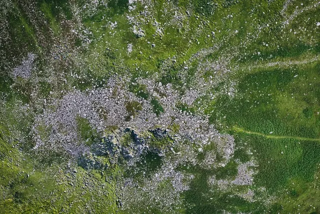
Sharpitor, Walkhampton
Walkhampton
A 415 m granite tor above the River Meavy near Burrator with one of Dartmoor's finest fields of broken granite, owned in part by the Dartmoor Preservation Association.
Stone alignments on Sharpitor
Walkhampton, Yelverton
Two scheduled stone alignments near Sharpitor: a double row and a single row with a round cairn north-west of the tor, and a short double row between Sharpitor and Leeden Tor.
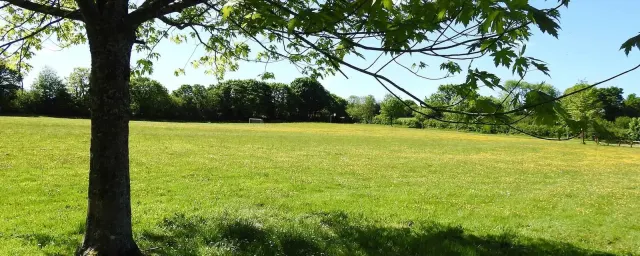
Walkhampton Memorial Hall
Walkhampton, Yelverton
Village hall and five-acre field for hire near Yelverton, with parking, disabled access and a children's play area.
Walkhampton Parish Council
Walkhampton, Yelverton
Walkhampton's parish council, delivered jointly with Meavy, Sheepstor and Dousland through Burrator Parish Council.
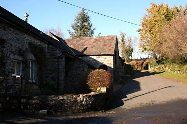
Welltown Cross No. 1 (shaft on the lane)
Walkhampton
A medieval granite cross shaft 1.5 m long, once a pigsty door jamb at Welltown Farm, re-erected by the national park on the lane verge.