

← Browse Industrial Archaeology · Browse the directory
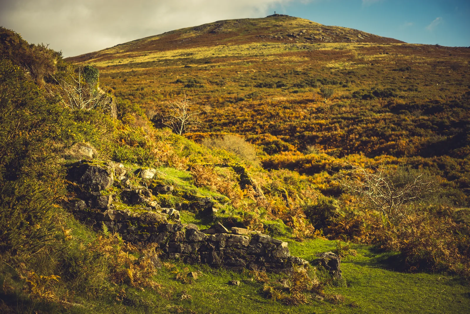
Wheal Mary Emma is a small tin mine on the slope above the River Lyd, below Brat Tor and High Down, a short walk downstream from the Captain Hunter Memorial and Black Rock Falls. Tin had been streamed from the valley long before, but the mine itself dates from 1849. It never paid its way for long, and that is what has kept so much of it: the shaft, the dressing floor, the ruined smithy and the office are all still there to find.
- Where: On the River Lyd below Brat Tor, a short walk from the High Down car park near Lydford
- Worked: From 1849, on and off, until the 1860s; a last licence in 1887 but nothing worked in 1888
- Named for: Mary Emma, daughter of the mine's founder Stephen Paull of Crowndale, who was 10 in 1849
- Status: Not a scheduled monument, so it has no Historic England list entry; the nearest scheduled sites are listed below
- Main source: Dartmoor Explorations: Wheal Mary Emma
The story of the mine
The ground straddles the river, with granite on one bank and a dark, altered slate on the other, and earlier tinners had already dug pits and open cuts here, drained by a shallow adit. In 1849 Stephen Paull of Crowndale began working it properly and named it after his daughter. The Mining Journal that October reported two lodes about 40 fathoms apart, one of them 20 inches wide and yielding tin crystals up to half an inch across, and a deeper adit was begun to reach them.
An Engine Shaft was started in January 1850. In May a second-hand 40 ft waterwheel, bought for £55, was working eight heads of stamps, driven by a leat from the Lyd. By 1851 the mine was said to be only just paying its way, with tin worth £100 sold that year. In 1852 the licence passed to three London merchants and James Carpenter was captain; the Engine Shaft was now called Tindall's Shaft, and a V-shaped gully carried flatrods about 190 m down to the wheel, which pumped as well as stamped. Only £25 of tin was sold in 1853, and the mine itself was sold the next year for £210.
A new licence in 1856 went to William Doble and Joseph Matthews of Tavistock, and the workings grew to take in the east bank of the river, where a shaft reached 12 fathoms. Thirteen men were at work at the end of 1857, with a small tramway bringing ore from the adit; by 1859 there were twelve, with a blacksmith. The captain wrote optimistically of tin to be found along a great length of lode, but the accounts showed a loss, and around 1864 a winding-up sale listed the wooden wheel, the stamps, 20 sets of rails, a tram waggon and the buddles. The wheel was still at the mine in 1871. The mine passed to North Dartmoor Consols in 1872 and was worked only now and then after that. The last licence, for one year from August 1887, produced no working at all.
What to look for
Walking round, you can follow the story on the ground, from the leat above the mine down to the river:
| Feature | Grid reference | What to look for |
|---|---|---|
| Engine Shaft (Tindall's Shaft), capped | SX 53042 85251 | The main shaft, now a grassy hump. A V-shaped gully for the flatrods runs down from here towards the waterwheel. |
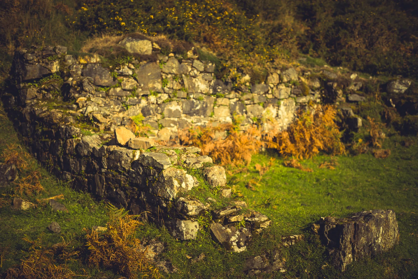
| Blacksmith's shop foundations | SX 53238 85189 | Foundations beside the path. Some say this was the smithy; Plymouth U3A has suggested a counting house or miners' dry. |
| Old shaft beside the smithy | SX 53249 85194 | A shaft shown on the 19th-century OS maps. |
| Office and accommodation building (room a) | SX 53266 85200 | A two-roomed ruin, thought to be the mine office (a) and living quarters (b). |
| Buddle 1 on the dressing floor | SX 53229 85160 | A round depression where crushed ore was stirred in running water to wash out the heavier tin. |
| Possible second buddle | SX 53233 85160 | A fainter depression beside the first. |
| Possible settling pit | SX 53244 85160 | Between the buddles and the river. |
| A cutting east of the river crossing | SX 53356 85191 | Marked from Paul's visit on 16 October 2026: one of many trenches and pits in the old workings east of the river crossing, about 90 m from the office ruin. What it was cut for is not recorded in our sources. |
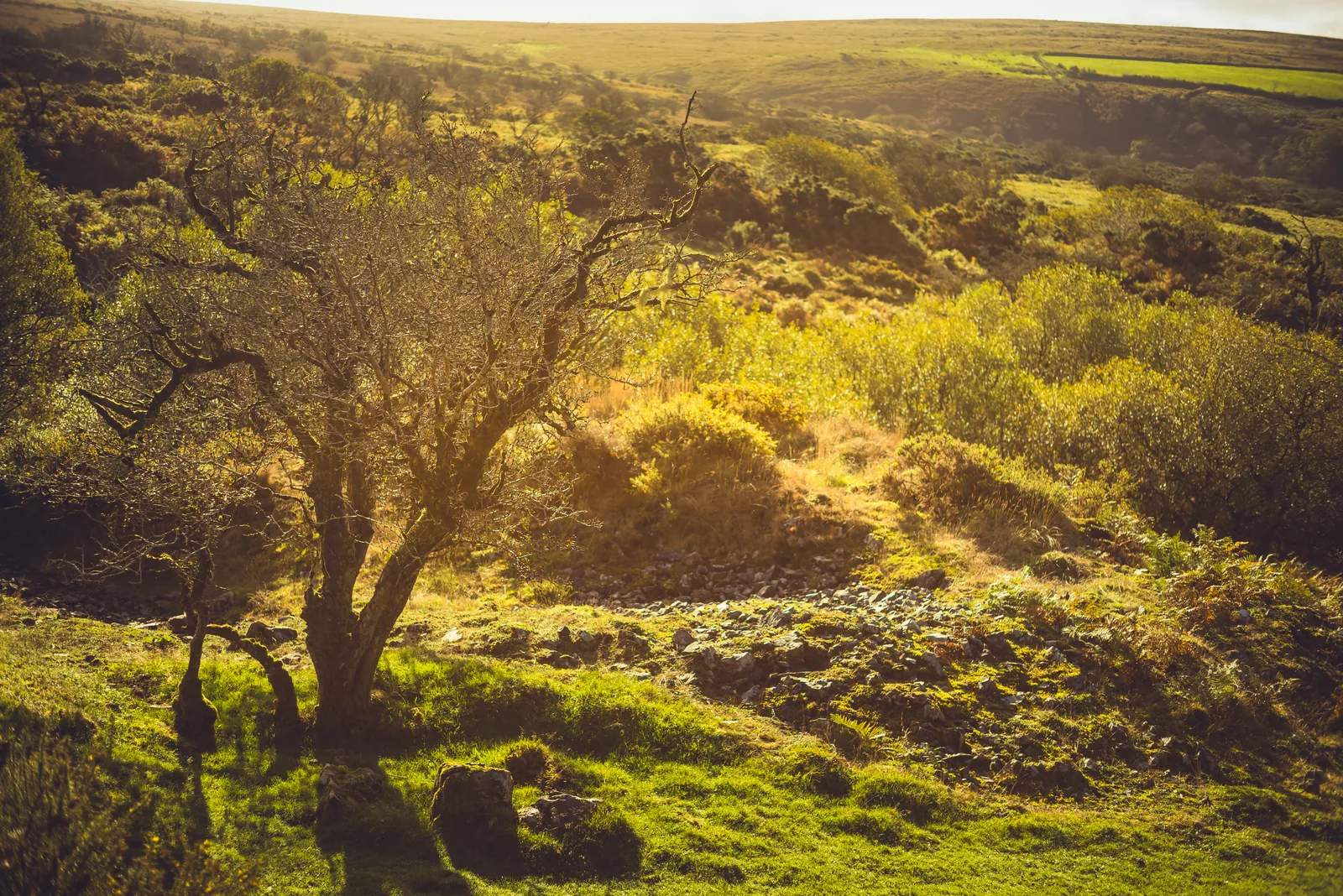
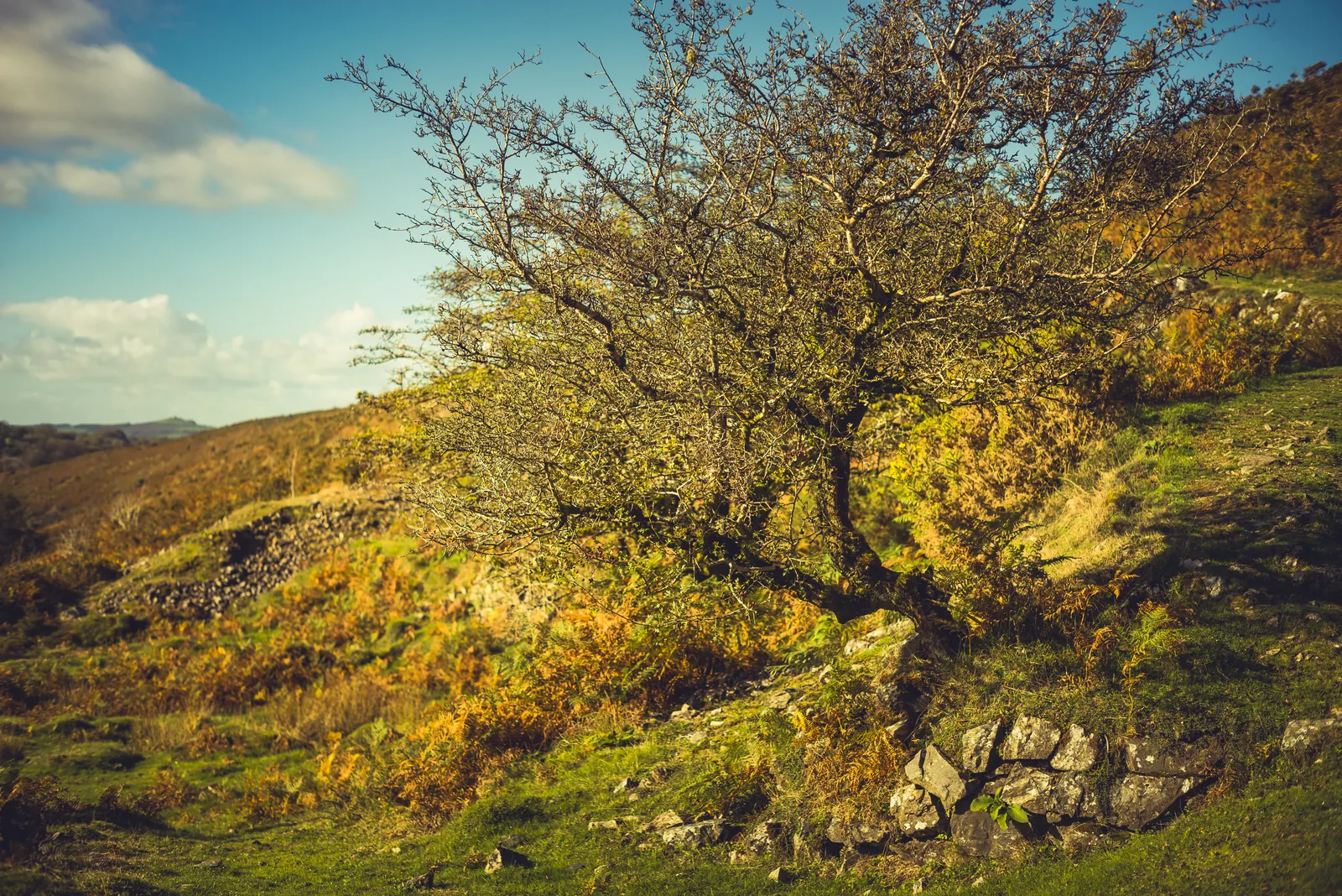
| Old pits with hawthorns growing on them | SX 53409 85213 | Marked from Paul's own visit on 16 October 2026; the old pits east of the river crossing, with hawthorns on and around them. |
| Holed stone on High Down | SX 52937 85300 | A granite stone with a hole about 30 cm across right through it. Its purpose is unknown: a whim stone, a lost venville stone, or a flagpole base for the High Down army camps are all suggested. |
| Leat crossing the High Down track, with ford and stepping stones | SX 53086 85702 | The leat that powered the mine was taken off the Lyd about 2 km upstream and crosses the track here. |
| Trial shafts south of High Down car park | SX 52552 85165 | Two shafts, probably early trial workings for the mine. |
Dartmoor Explorations suggests the holed stone may once have been the mine's whim stone, moved and reused when the army camps came to High Down between 1892 and 1906, though the size of the hole argues against that. East of the river the ground is pitted with trenches and old pits, and the 19th-century Ordnance Survey map, which you can browse on the National Library of Scotland's site, shows the workings reaching up to the track. Below the ford there was once a footbridge joining the two halves of the mine, and an abutment survives on the west bank.
Around the mine
The mine sits among much older things. The ring cairn and rectangular building earthwork about 340 m north is a scheduled monument, and Historic England also protects an enclosed settlement near Doetor Farm, the hut circles near Nodden Gate, and a round cairn near Walla Brook. Rising above are Brat Tor, Arms Tor, Great Nodden and White Hill, and the River Lyd runs through the lot. The tin workings of Dartmoor are the subject of the Dartmoor Tinworking Research Group, whose plan of this mine appeared in Phil Newman's 2017 book on Dartmoor's tinworking landscape.
The 2006 survey of Doe Tor Farm by Wessex Archaeology, which records a farm here called Doter Green with a tin mill attached by 1694, notes a possible site for that tin mill on the east bank of the Lyd at about SX 5332 8525, not far above the point where the Doetor Brook joins the river. It is not confirmed.
Up the Doetor Brook to the east, Doe Tor Falls were already a sight worth noticing for William Crossing in 1914, and beside the track north of Doe Tor Farm the old map marks the Doetor Quarry. The path across the brook is carried by the Doetor Brook Footbridge.
| Feature | Grid reference | What to look for |
|---|---|---|
| Ring cairn and rectangular building earthwork (see its own page) | SX 53010 85591 | Scheduled. About 340 m north of the mine. |
| Enclosed settlement 420 m south of Doetor Farm | SX 53679 84487 | Scheduled. About 1 km south-east. |
| Stone hut circle 530 m ESE of Nodden Gate | SX 53512 86185 | Scheduled. About 1 km north. |
| Stone hut circle 610 m ESE of Nodden Gate | SX 53599 86224 | Scheduled. About 1 km north. |
| Hut circles and enclosure wall 600 m east of Nodden Gate | SX 53592 86307 | Scheduled. About 1.2 km north. |
| Round cairn and stone cist 310 m south of Walla Brook | SX 53713 84189 | Scheduled. About 1.3 km south-east. |
The scheduled grid references are the middle of each scheduled area, worked out from Historic England's mapped boundaries, so they are close but not exact.
This is open moorland beside a river: the ground is rough, the shafts and pits are real hazards. This area is outside the military firing ranges, but ranges lie nearby on the moor, so check the firing times before you go further.
Suggest an edit to this listing
Contact us if you have information about this listing
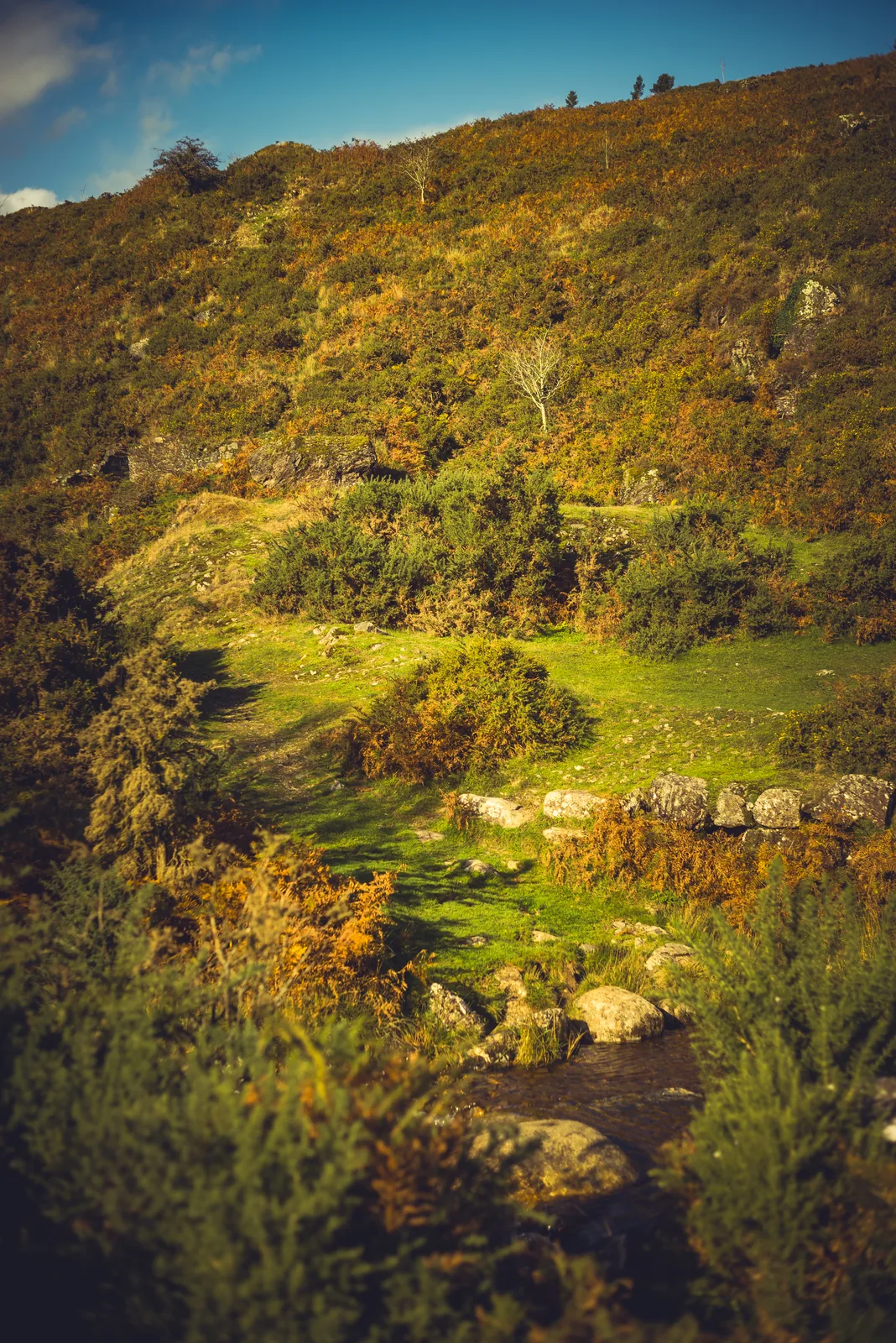
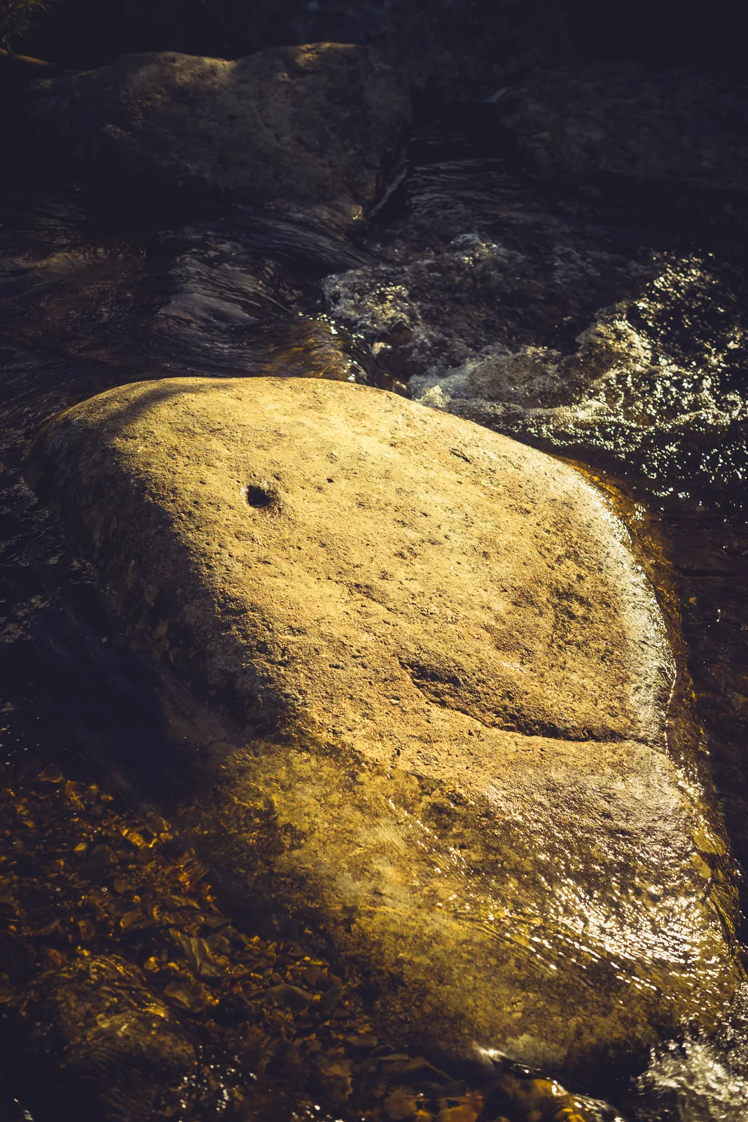
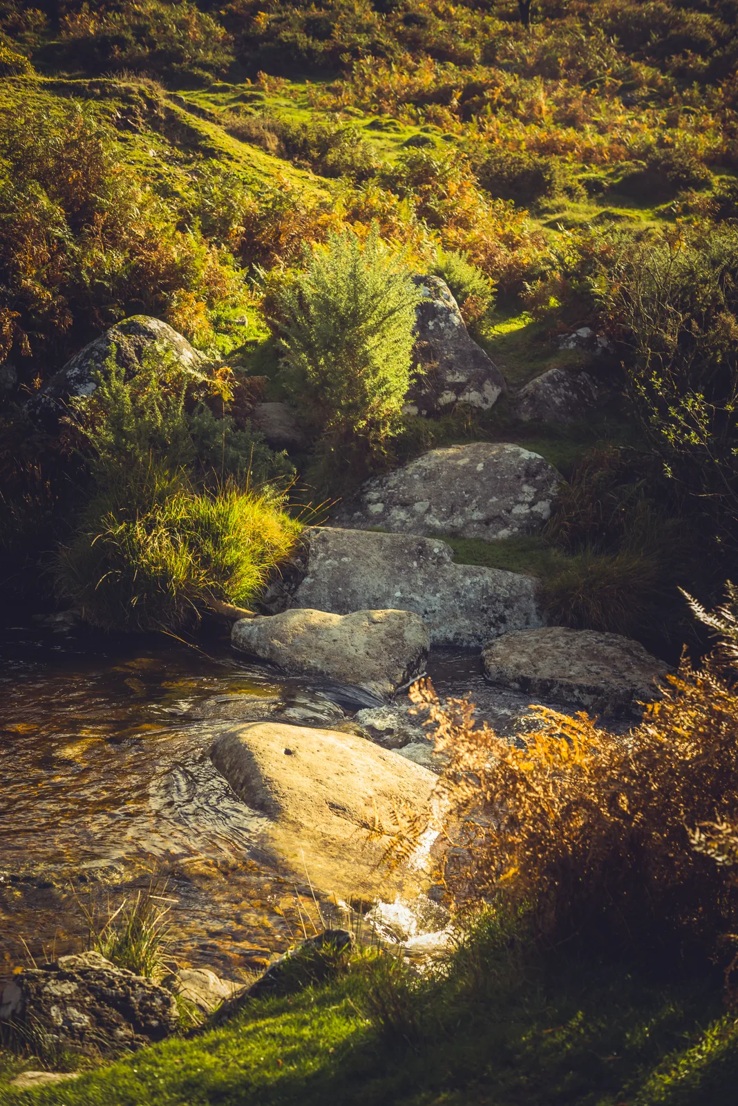

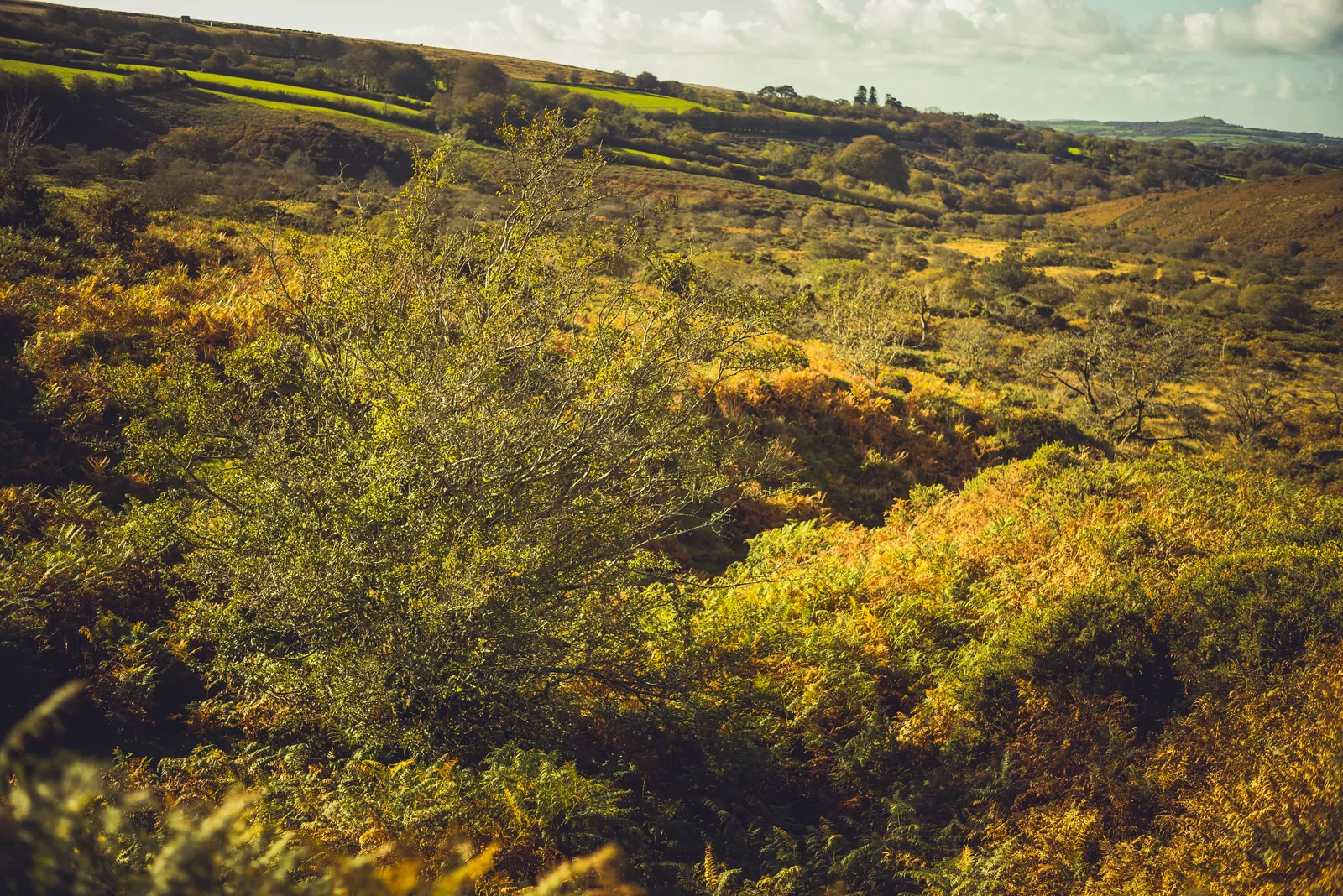

The pin marks the main site. The 18 rings around it are other interesting or noteworthy places nearby. Tap a ring for its name and grid reference, with a link to Historic England’s entry where there is one.
Official record
Explore the area
Go deeper with Dartefacts
Dartefacts is a database of Dartmoor sites with far more close-up detail than we can show here, and it is the best place to go deeper. Dartefacts is free to use, and nobody has to pay to look things up. If you want more, a yearly subscription adds 10-figure grid references, map zoom down to 1:25,000 and lists to tick off the places you have visited, and it helps keep the site going. We would encourage you to subscribe.
Thoughts
Be the first to share a thought about Wheal Mary Emma.
Share a thought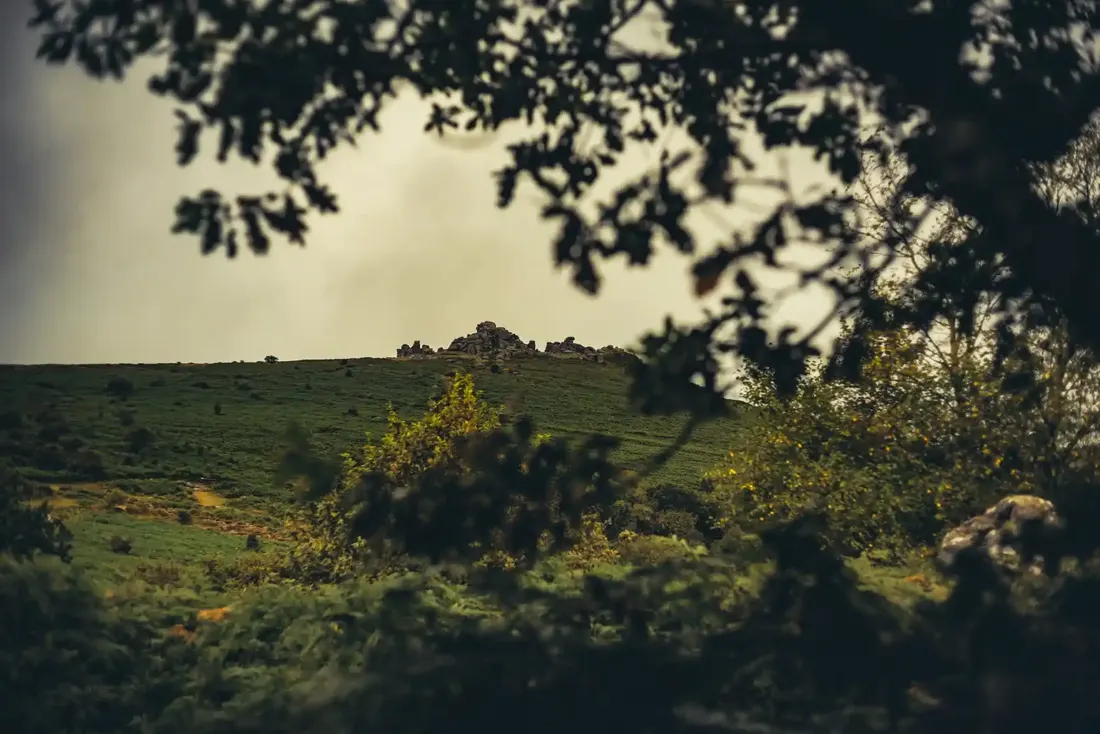 Hound Tor. Photograph by Glavind Strachan Photography
“Us could tie up the knees so's the presents wouldn't drop out, couldn't us, Muther?”
Also on Our DartmoorOuter Huccaby Ring — A Bronze Age hillfort on open moorland, its concentric rings still visible after thousands of years of wind and weather.
Know another Dartmoor place, tor or landmark we should include? Suggest a listing, it is free.
Suggest a listing