Dartmoor quiz
“Swelling and sinking solemnly along the sky, Dartmoor surrounded Newtake.”
Who wrote this?


← Browse Other Heritage Sites · Browse the directory
On the east bank of the River Lyd, opposite Black Rock and below Brat Tor, stands the ruin of a small enclosure. Stretches of drystone walling survive among the bracken, and the old map shows that it was once a neat rectangle beside the river. Nobody seems to have written down what it was for.
On the second edition of the 25-inch Ordnance Survey map the enclosure is drawn as a long, narrow rectangle with its long side beside the river, with boulders scattered along the bank beside it. The earlier 25-inch survey of the 1880s shows the boulders and the river but no enclosure. The maps do not say what it was, or who built it.
It is not a scheduled monument, and the Dartmoor Walks database of prehistoric sites records nothing within half a kilometre. We have searched our library of Dartmoor books and reports, including the 2006 survey of nearby Doe Tor Farm, and found no description of an enclosure here. It may be connected with the mine at Wheal Mary Emma, with the farming of the valley, or with something else; we cannot tell. If you know of a record, a photograph or a story about it, we would like to hear.
Across the river is Black Rock, with the Captain Hunter Memorial and Black Rock Falls. Downstream the River Lyd passes the ruins of Wheal Mary Emma, and the ring cairn and rectangular building earthwork lies a little north-west, on the far side of the river. This area is outside the military firing ranges, but ranges lie nearby on the moor, so check the firing times before you go further.
Contact us if you have information about this listing
Dartefacts is a database of Dartmoor sites with far more close-up detail than we can show here, and it is the best place to go deeper. Dartefacts is free to use, and nobody has to pay to look things up. If you want more, a yearly subscription adds 10-figure grid references, map zoom down to 1:25,000 and lists to tick off the places you have visited, and it helps keep the site going. We would encourage you to subscribe.
Be the first to share a thought about Lyd Enclosure.
Share a thought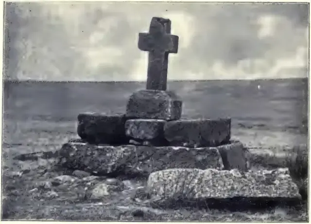 Plate from The Ancient Stone Crosses of Dartmoor and its Borderland, page 122, 1902
“Ten thousand years hence it will be a great peat bog.”
Also on Our DartmoorGreat Rock — Great Rock is a striking cluster of huge, vegetation-covered outcrops hidden in the trees above the public footpath from Hennock to Beadon Bridge.
“Swelling and sinking solemnly along the sky, Dartmoor surrounded Newtake.”
Who wrote this?
Know another Dartmoor place, tor or landmark we should include? Suggest a listing, it is free.
Suggest a listing