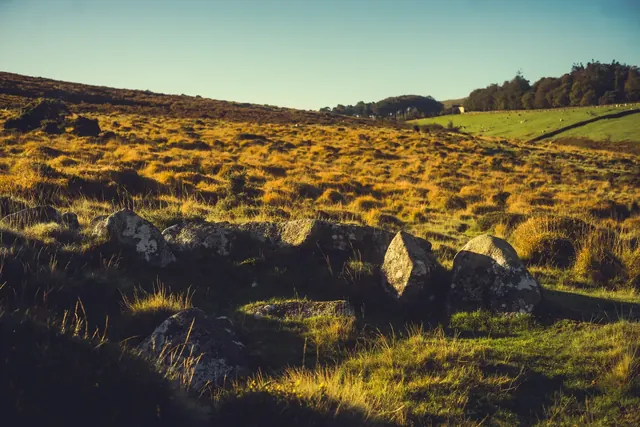
Ring cairn near Cawsand Beacon
A ring cairn on the summit ridge of Cawsand Hill: a rubble bank 2 m wide round a space 18 m by 17 m, with a central mound holding a stone cist that Rowe described in the early 19th century.
A ring cairn, a bank 2 m wide around a space 12.5 m across, on the west side of Corn Ridge summit, one of six cairns in a cemetery.
Which spot on Dartmoor has also been known as "the Devil's Dome"?
A ring cairn 8 m across inside, a ring of close-set stones up to 0.8 m high on a west-facing slope above the Meavy valley, 220 m south-south-east of Devil's Bridge.
A Bronze Age ring cairn 9.5 m by 8.5 m, about 240 m south-east of the Cullever Steps stepping stones, below Belstone Tor.
A flat-topped ring cairn 5.5 m across with three kerb stones on its south edge and a slab that may be a displaced cist cover, above the Walla Brook.
A ring cairn with a bank 3 m wide enclosing an area 13 m across, on a west-facing slope above Lydford village.
A ring cairn on a west-facing slope above the Lyd: a bank 2 m wide and 0.4 m high around a space 13 m across, with a gap on the west.
A ring cairn on Barn Hill: a rubble bank 2 m wide and 0.6 m high with many edge-set stones round a space 6.6 m across, ringed by a ditch 3 m wide, with views over west Devon and east Cornwall.
A Bronze Age ring cairn on the open moorland south of Sourton Tors, a scheduled monument marking ancient settlement and ritual activity.
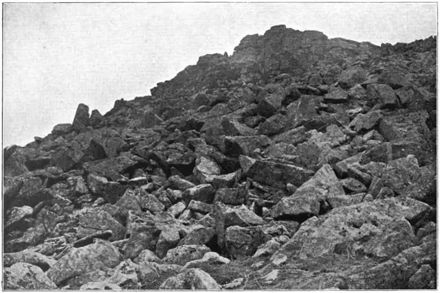
Plate from Dartmoor Illustrated, page 174, 1900“Away to the northward is seen the boggy land in the neighbourhood of Erme Head, with the distant tors peeping over the dark brown ridges.”
Also on Our DartmoorBearacleave North Tor — Bearacleave North Tor, known locally as the Walrus, is a prominent granite formation deep within Bearacleave Wood, just north of Bovey Tracey.